


Der Wanderweg ist breit angelegt und gut geeignet zum Befahren mit Kinderwagen. Parkplatz sowie die Wanderung durch die Klamm sind kostenlos!
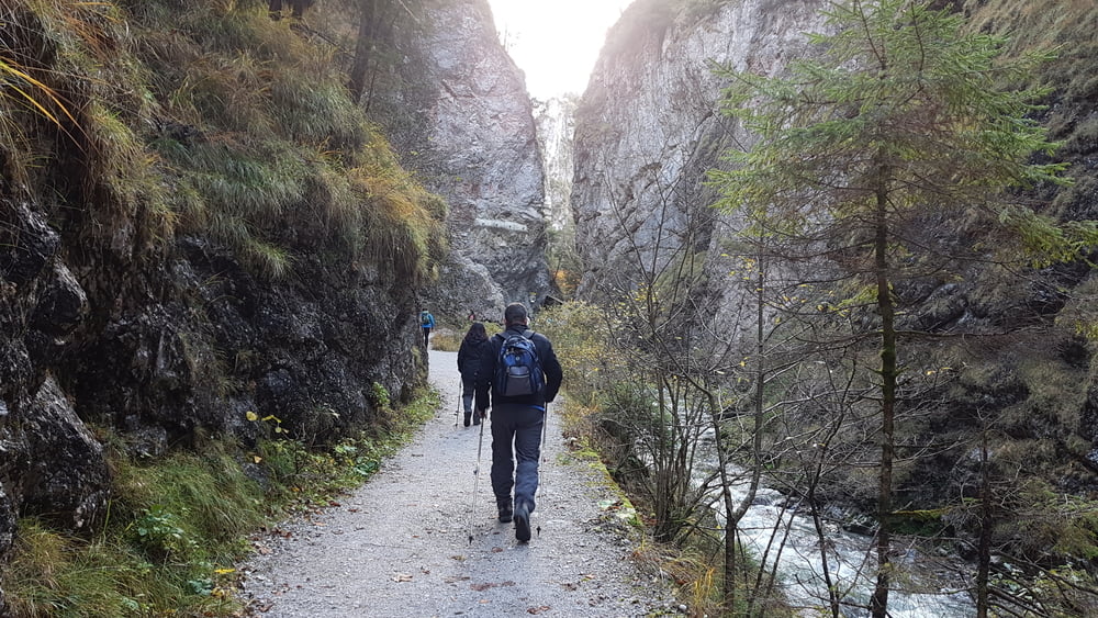
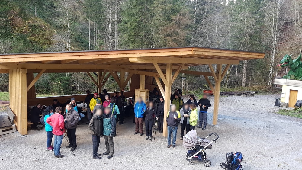
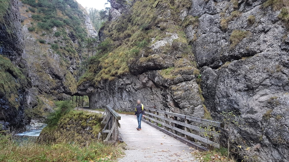
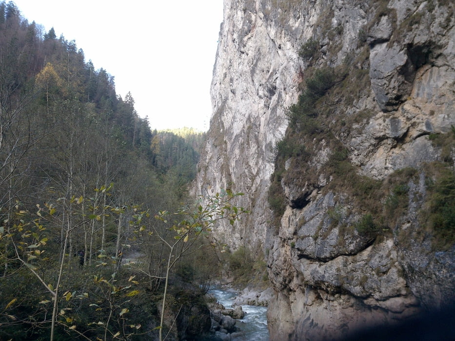
Der Parkplatz befindet sich direkt am Klammeingang. Der Weg in die Schlucht führt zuerst über eine Brücke in Holzfachwerkbau und weiter vorbei an mächtigen Felsformationen. Bereits nach rund zehn Gehminuten erreicht man das Gasthaus Kundler Klamm. Ganz bis zum Ende der Schlucht sind es insgesamt 3 km und 1 Stunde Gehzeit.
Wir sind noch weitere 3 km bis nach Mühltal (Wildschönau) gelaufen und über einen kleinen Rundweg wieder durch die Schlucht zurück zum Parkplatz.
Es besteht auch die Möglichkeit bequem mit dem Bummelzug nach Mühltal zu fahren. Weitere Info siehe den Link!
http://www.bummelzug.com/fahrplan/sommer/kundler-klamm.html
Further information at
http://www.kundlerklamm.at/kundler-klamm/Tour gallery

Tour map and elevation profile
Minimum height 570 m
Maximum height 813 m
More about the tour author
|
|
W-C |
Comments

Autobahnausfahrt Kramsach, oder Wörgl West, bis zur OMV Tankstelle, dann zur Klammstrasse
Parken:Gratisparkplatz bei der Kundler Klamm
Parkplatz Adresse:
6250 Kundl, Klammstraße 45
Parkplatz Koordinaten:
N47° 27.755' E11° 59.309'
GPS tracks
Trackpoints-
GPX / Garmin Map Source (gpx) download
-
TCX / Garmin Training Center® (tcx) download
-
CRS / Garmin Training Center® (crs) download
-
Google Earth (kml) download
-
G7ToWin (g7t) download
-
TTQV (trk) download
-
Overlay (ovl) download
-
Fugawi (txt) download
-
Kompass (DAV) Track (tk) download
-
Track data sheet (pdf) download
-
Original file of the author (gpx) download
More about the tour author
|
|
W-C |
Add to my favorites
Remove from my favorites
Edit tags
Open track
My score
Rate