

hallo,
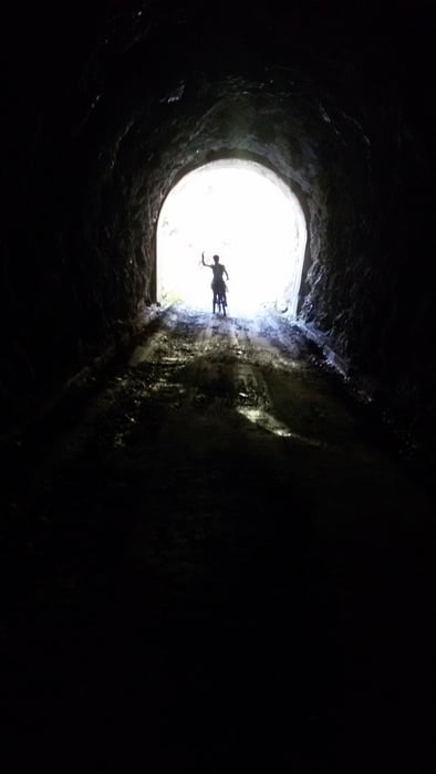
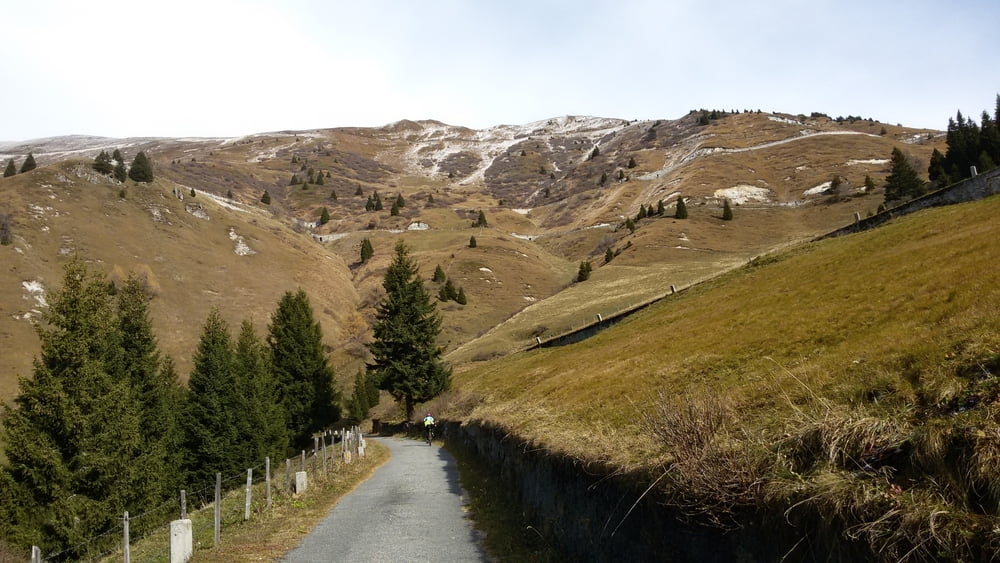
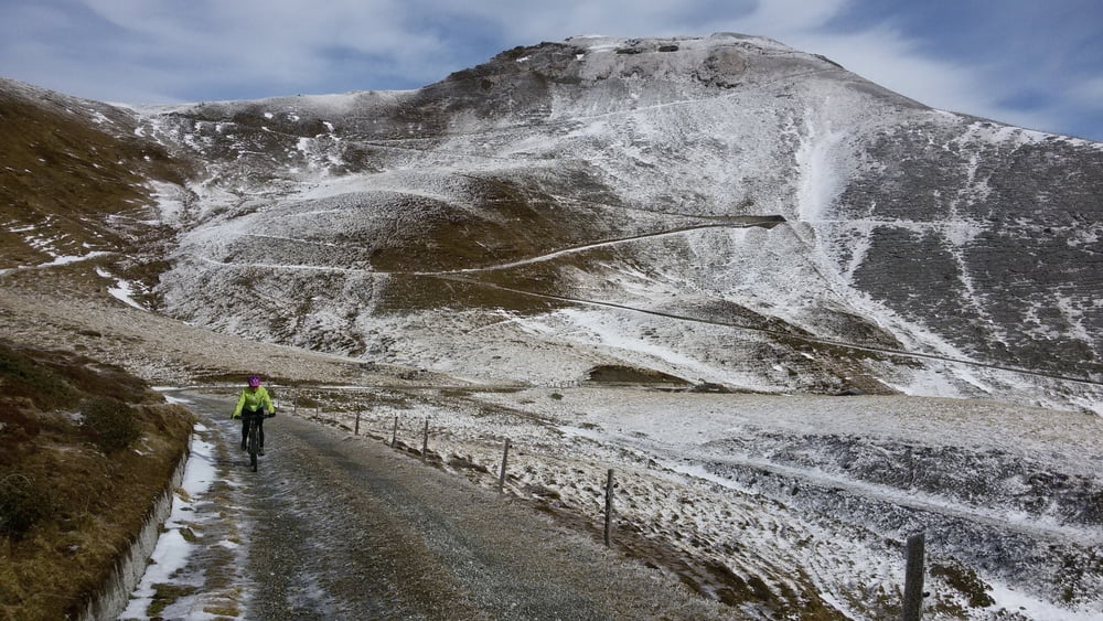
diese runde ist von sterzing bis brennerbad ein teil der offiziellen brenner-bozenradroute und dann gehts die alte militärstraße teils asphaltiert, teils schotterstraße berg auf - durch tunnels, vorbei an alten grenzpostengebäuden hinauf und dann auch wieder forststraßen hinunter bis ins tal - für alle die keine trails möchten ...
leider gibts auf dieser route keine einkehrmöglichkeit....
bei hm 1700 ca. gabelt sich die straße und da ist ein brunnen zum wassertanken - weiß natürlich nicht ob der ganzjährig ist...
Tour gallery
Tour map and elevation profile
Minimum height 951 m
Maximum height 2216 m
More about the tour author

|
reinhard12345 |
Comments

GPS tracks
Trackpoints-
GPX / Garmin Map Source (gpx) download
-
TCX / Garmin Training Center® (tcx) download
-
CRS / Garmin Training Center® (crs) download
-
Google Earth (kml) download
-
G7ToWin (g7t) download
-
TTQV (trk) download
-
Overlay (ovl) download
-
Fugawi (txt) download
-
Kompass (DAV) Track (tk) download
-
Track data sheet (pdf) download
-
Original file of the author (gpx) download
More about the tour author
|
|
reinhard12345 |
Add to my favorites
Remove from my favorites
Edit tags
Open track
My score
Rate