Login

Forgot your login?

Cookies have to be accepted!
Your browser's cookie functionality is disabled. Please enable this functionality.

Not a member yet?

Register now
Login

Available for registred users only

Log in to use this feature.

Forgot your login?

Cookies have to be accepted!
Your browser's cookie functionality is disabled. Please enable this functionality.

Not a member yet?

Register now
Filter
Categories
Advanced filters
  • Distance (km)
  • Height
Save filters Reset filter

TrackRank

QRCode

Technical data

Distance93,8 km Height3322 m Way down4247 m Duration1 day 0 h Date21.11.2017
Scores Author Landscape Fun factor Fitness Technique

Statistics

247 Views Scores 55 Downloads Average
Rate
  • Track data sheet
  • Directions
  • Downloads
Über 4000m Höhenmeter bergab  aber wegen Benutzung von zwei Liften haben wir  2233m bergauf!  Sehr schöne Tour durch die Gipfel!
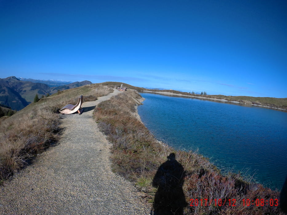
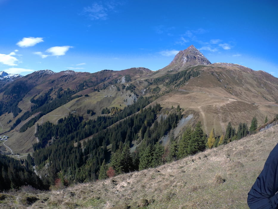
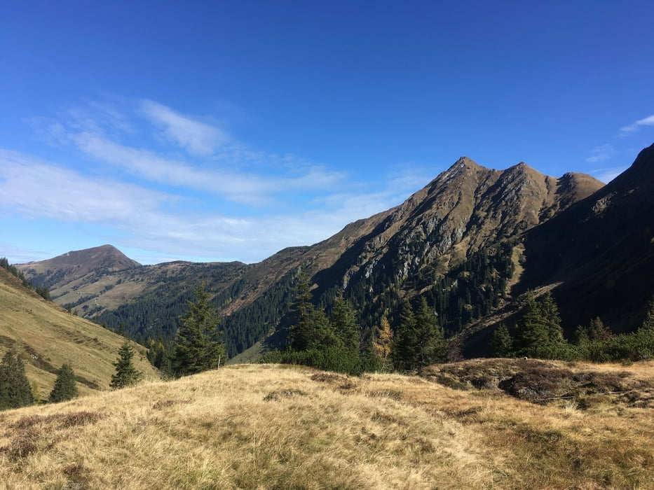
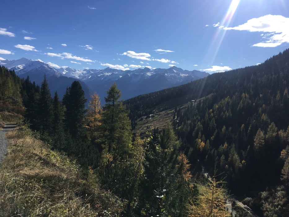
Tour gallery

Tour map and elevation profile

  • Open Street Map
  • Google
Minimum height 751 m Maximum height 2138 m Detailed view

More about the tour author

arekwal
Member since 2009

Send private message

Comments

GPS tracks

Trackpoints
  • GPX / Garmin Map Source (gpx) download
  • TCX / Garmin Training Center® (tcx) download
  • CRS / Garmin Training Center® (crs) download
  • Google Earth (kml) download
  • G7ToWin (g7t) download
  • TTQV (trk) download
  • Overlay (ovl) download
  • Fugawi (txt) download
  • Kompass (DAV) Track (tk) download
  • Track data sheet (pdf) download
  • Original file of the author (gpx) download

More about the tour author

arekwal
Member since 2009

Send private message
Share track
Add to my favorites
Remove from my favorites
Edit tags
My score
Rate
Track: Von Kitbühel nach Neukirchen durch die Gipfel
Type: Mountain bike
Distance: 93,8 km
Evaluated on:
Duration:
Day(s)
Hour(s)
Minute(s)
Score: Landscape Fun factor Fitness Technique