


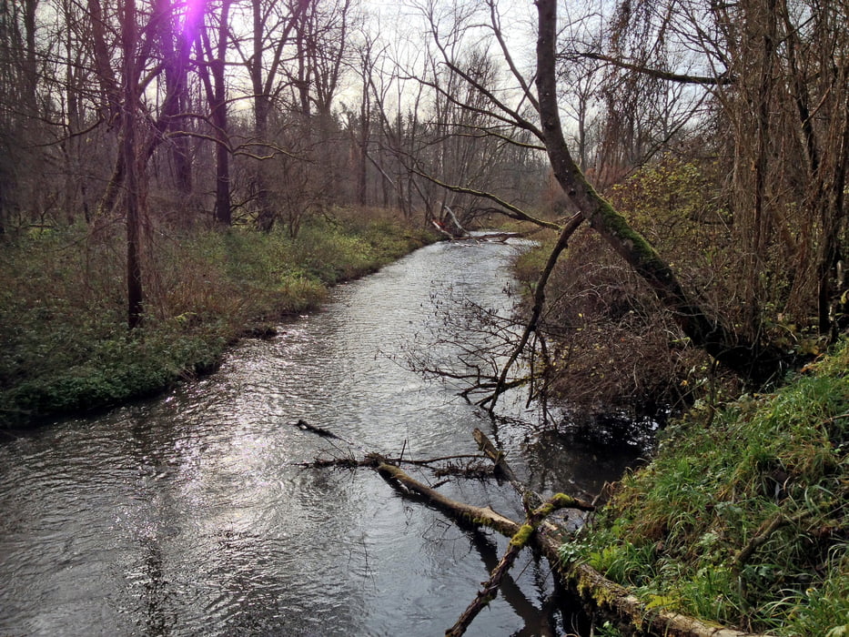
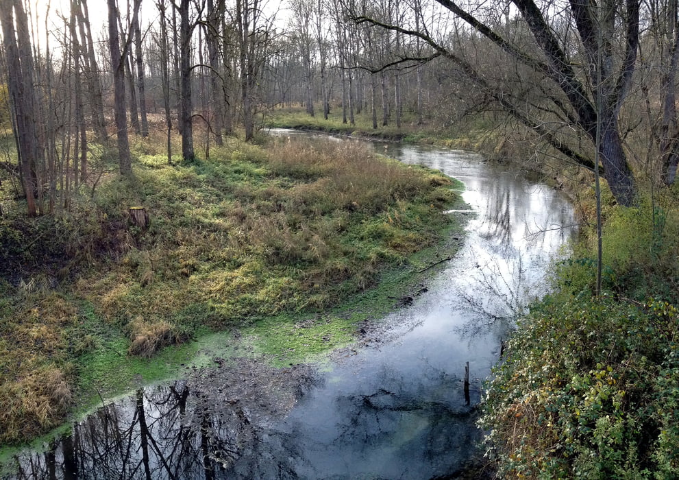
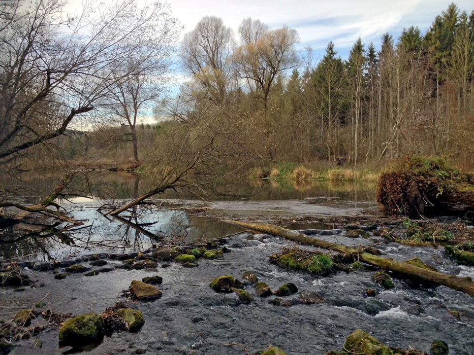
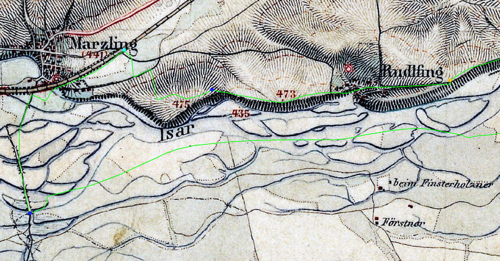
Östlich von Freising münden zwischen Marzling und Oberhummel mehrere Seitenflüsse und -bäche in die Isar. Die zugehörigen Auwälder stehen teilweise unter Naturschutz und bieten vielfältige Landschafts- und Natureindrücke. Am nördlichen Ufer eröffnet die Hangkante beim Dorf Hangenham einen weiten Ausblick über die Schotterebene und den Münchener Flughafen bis zu den Alpen. Im nahen Naturfreundehaus der Ortsgruppe Freising gibt es Verpflegung und Unterkunft.
Südlich der Isar verläuft der Weg in unmittelbarer Nähe zum Fluss, im späteren Verlauf oft matschig. Am nördlichen Flussufer wandert man auf dem kiesigen Isarradweg schließlich ein kurzes steiles Stück die Hangkante hinauf und zuletzt immer am Waldrand entlang nach Marzling zurück. Der Weg ist kaum zu verfehlen, GPS-Navigation daher nicht dringend nötig.
Tour gallery
Tour map and elevation profile
Minimum height 99999 m
Maximum height -99999 m
More about the tour author
|
|
johehr |
Comments

Bahnhof in Marzling und Parkplatz an der Isarbrücke.
GPS tracks
Trackpoints-
GPX / Garmin Map Source (gpx) download
-
TCX / Garmin Training Center® (tcx) download
-
CRS / Garmin Training Center® (crs) download
-
Google Earth (kml) download
-
G7ToWin (g7t) download
-
TTQV (trk) download
-
Overlay (ovl) download
-
Fugawi (txt) download
-
Kompass (DAV) Track (tk) download
-
Track data sheet (pdf) download
-
Original file of the author (gpx) download
More about the tour author
|
|
johehr |
Add to my favorites
Remove from my favorites
Edit tags
Open track
My score
Rate