Login

Forgot your login?

Cookies have to be accepted!
Your browser's cookie functionality is disabled. Please enable this functionality.

Not a member yet?

Register now
Login

Available for registred users only

Log in to use this feature.

Forgot your login?

Cookies have to be accepted!
Your browser's cookie functionality is disabled. Please enable this functionality.

Not a member yet?

Register now
Filter
Categories
Advanced filters
  • Distance (km)
  • Height
Save filters Reset filter

TrackRank

QRCode

Technical data

Distance12,1 km Height220 m Way down259 m Duration03:30 h:m Date03.12.2017
Scores Author Landscape Fun factor Fitness Technique

Statistics

230 Views Scores 28 Downloads Average
Rate
  • Track data sheet
  • Directions
  • Downloads

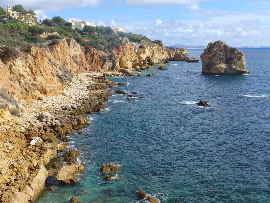
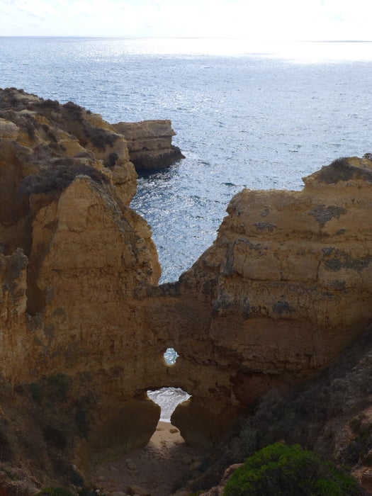
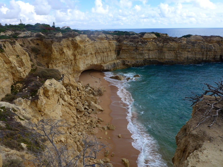
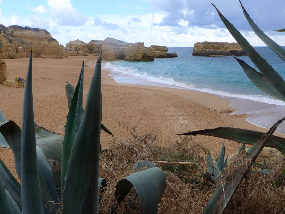
Vom Busbahnhof Albufeira durch das historische Zentrum und um den Hafen herum, dann an der Küste entlang bis Galé.

Die Tour kann auch am Hafen begonnen werden. Der Bus von Galé hält dort auch. 

Tour gallery

Tour map and elevation profile

  • Open Street Map
  • Google
Minimum height -1 m Maximum height 76 m Detailed view

More about the tour author

lothardomnik
Member since 2009

Send private message

Comments

Ab Galé Rotonda (Endpunkt der Wanderung) mit Bus zurück bis Albufeira Busbahnhof

GPS tracks

Trackpoints
  • GPX / Garmin Map Source (gpx) download
  • TCX / Garmin Training Center® (tcx) download
  • CRS / Garmin Training Center® (crs) download
  • Google Earth (kml) download
  • G7ToWin (g7t) download
  • TTQV (trk) download
  • Overlay (ovl) download
  • Fugawi (txt) download
  • Kompass (DAV) Track (tk) download
  • Track data sheet (pdf) download
  • Original file of the author (gpx) download

More about the tour author

lothardomnik
Member since 2009

Send private message
Share track
Add to my favorites
Remove from my favorites
Edit tags
My score
Rate
Track: Algarve - Galé
Type: Hiking
Distance: 12,1 km
Evaluated on:
Duration:
Day(s)
Hour(s)
Minute(s)
Score: Landscape Fun factor Fitness Technique