


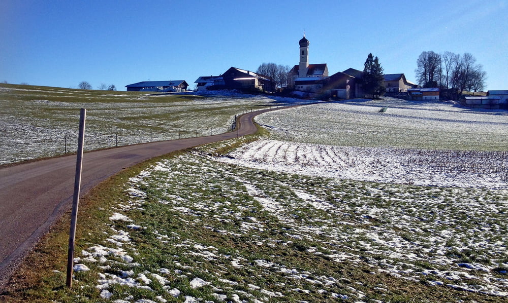
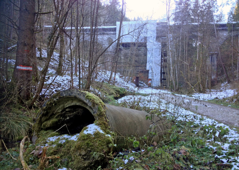
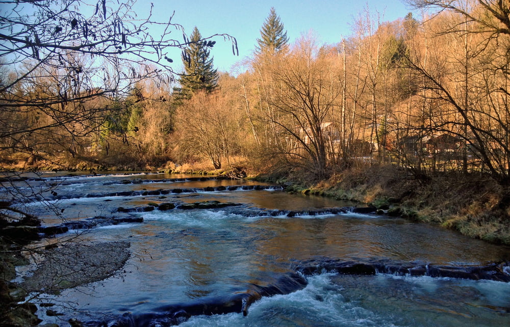
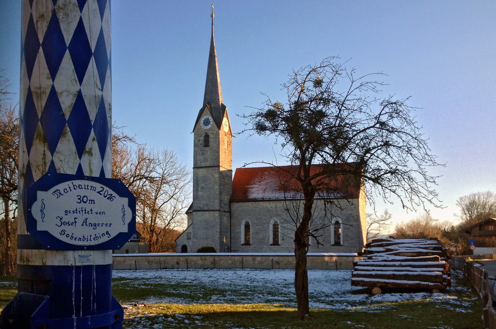
Der Teufelsgraben bildete das voreiszeitliche Flussbett der Mangfall, die heute bei Grub nach Osten fließt. Die Tour verläuft vom Endbahnhof der S7 Kreuzstraße über Kleinhöhenkirchen, am Fluss entlang, wechselt bei Valley das Ufer und führt über Hohendilching zum S-Bahnhof zurück. Besonders schön ist die Tour wegen der ursprünglichen Ortschaften und dem Weg an der Mangfall entlang, der je nach Lust und Zeit Richtung Süden verlängert werden kann.
Ein GPS-Gerät ist nicht unbedingt nötig, da die Beschilderung ausreicht. Als MTB-Variante nicht gerade geeignet, da Wegabschnitte schlecht zu befahren sind.
Further information at
https://de.wikipedia.org/wiki/TeufelsgrabenTour gallery
Tour map and elevation profile
Minimum height 571 m
Maximum height 655 m
More about the tour author
|
|
johehr |
Comments

Von München mit der S7 nach Kreuzstraße. Von Holzkirchen und Rosenheim mit dem Zug dorthin.
GPS tracks
Trackpoints-
GPX / Garmin Map Source (gpx) download
-
TCX / Garmin Training Center® (tcx) download
-
CRS / Garmin Training Center® (crs) download
-
Google Earth (kml) download
-
G7ToWin (g7t) download
-
TTQV (trk) download
-
Overlay (ovl) download
-
Fugawi (txt) download
-
Kompass (DAV) Track (tk) download
-
Track data sheet (pdf) download
-
Original file of the author (gpx) download
More about the tour author
|
|
johehr |
Add to my favorites
Remove from my favorites
Edit tags
Open track
My score
Rate