


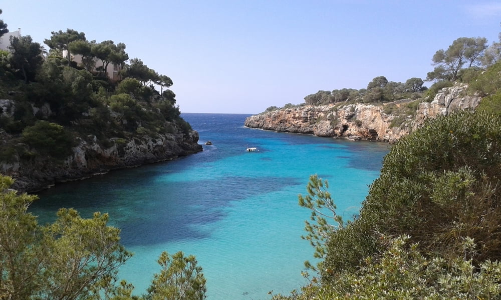
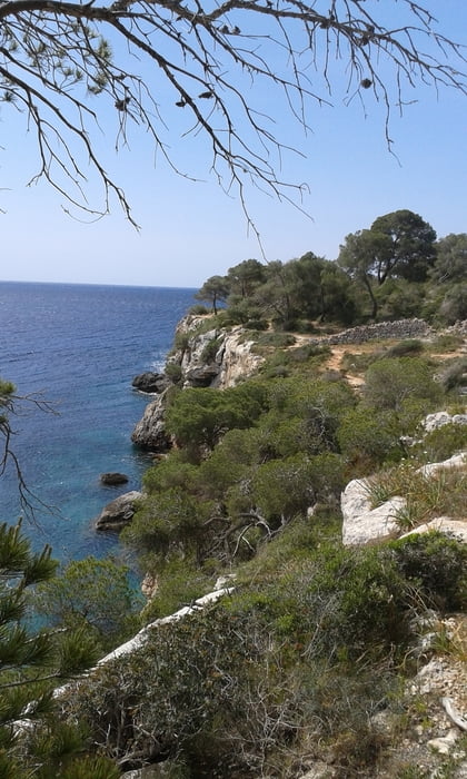
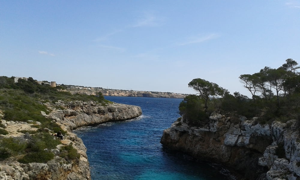
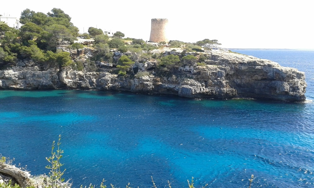
Von der Cala Pi bis zum Cap Blanc werden hier beschrieben.
https://www.gps-tour.info/de/touren/detail.64385.html
https://www.gps-tour.info/de/touren/detail.125212.html
Wer nicht so weit gehen mag und auf Cap Blanc mit den alten Wachturm verzichten kann sei diese Variante der Tour zu empfehlen. Die Hauptartaktionen wie die Cala Pi und die Küste sind enthalten. Alternativ zum Wachturm bei Cap Blanc kann dafür der Wachturm direkt im Ort Cala Pi besichtigt werden.
Mehr wissenswertes über die Cala Pi findet man hier:
https://www.abc-mallorca.de/cala-pi/
Zum Einkehren nach der Wanderung empfehle ich das am Parkplatz liegende Nix Nax Bar
Passeig de Cala Pi, 8, 07639 Cala Pi, Illes Balears, Spanien
Tour gallery
Tour map and elevation profile
Minimum height -7 m
Maximum height 29 m
More about the tour author
|
|
JoachimDief |
Comments

Kostenloser Parkplatz Passeig Calapi vom Ort Cala Pi
lat="39.364784" lon="2.8396244"
GPS tracks
Trackpoints-
GPX / Garmin Map Source (gpx) download
-
TCX / Garmin Training Center® (tcx) download
-
CRS / Garmin Training Center® (crs) download
-
Google Earth (kml) download
-
G7ToWin (g7t) download
-
TTQV (trk) download
-
Overlay (ovl) download
-
Fugawi (txt) download
-
Kompass (DAV) Track (tk) download
-
Track data sheet (pdf) download
-
Original file of the author (gpx) download
More about the tour author
|
|
JoachimDief |
Add to my favorites
Remove from my favorites
Edit tags
Open track
My score
Rate