Login

Forgot your login?

Cookies have to be accepted!
Your browser's cookie functionality is disabled. Please enable this functionality.

Not a member yet?

Register now
Login

Available for registred users only

Log in to use this feature.

Forgot your login?

Cookies have to be accepted!
Your browser's cookie functionality is disabled. Please enable this functionality.

Not a member yet?

Register now
Filter
Categories
Advanced filters
  • Distance (km)
  • Height
Save filters Reset filter

TrackRank

QRCode

Technical data

Distance12,8 km Height290 m Way down290 m Duration04:00 h:m Date13.01.2018
Scores Author Landscape Fun factor Fitness Technique

Statistics

212 Views Scores 3 Downloads Average
Rate
  • Track data sheet
  • Directions
  • Downloads
Leichte Rundwanderung mit moderaten Auf-und Abstiegen.
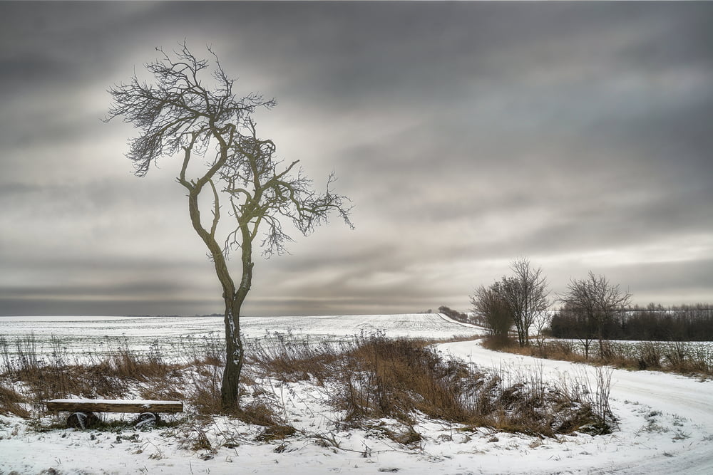
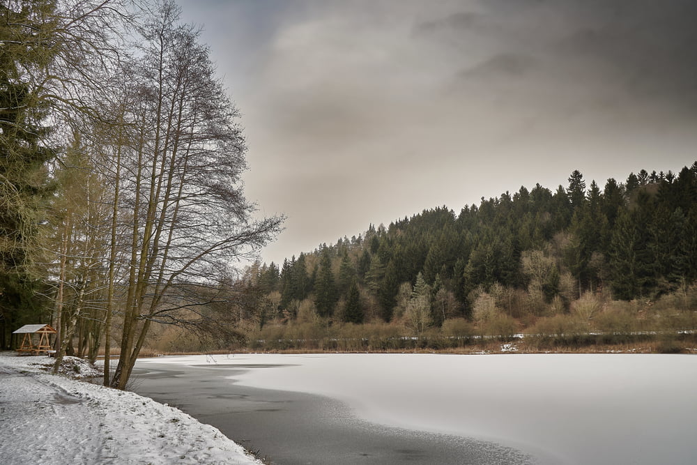
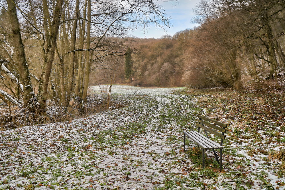
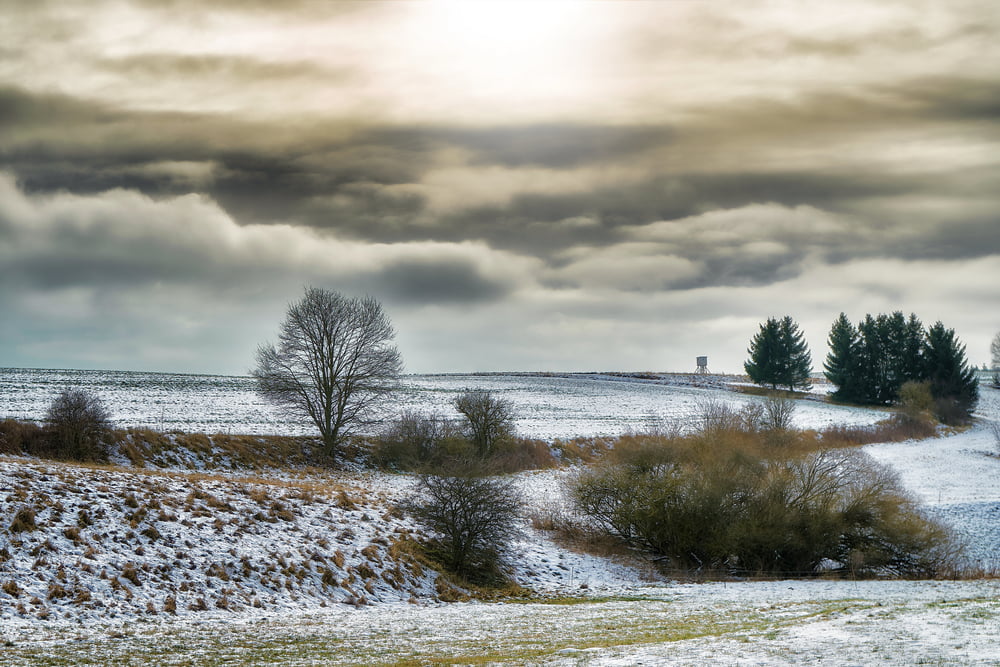
Tour gallery

Tour map and elevation profile

  • Open Street Map
  • Google
Minimum height 268 m Maximum height 388 m Detailed view

More about the tour author

Empe53
Member since 2012

Send private message

Comments

Anfahrt über die B242(Harzstrasse) von Harzgerode bzw. Mansfeld.

Parkmöglichkeiten bestehen in Königerode und Braunschwende.

GPS tracks

Trackpoints
  • GPX / Garmin Map Source (gpx) download
  • TCX / Garmin Training Center® (tcx) download
  • CRS / Garmin Training Center® (crs) download
  • Google Earth (kml) download
  • G7ToWin (g7t) download
  • TTQV (trk) download
  • Overlay (ovl) download
  • Fugawi (txt) download
  • Kompass (DAV) Track (tk) download
  • Track data sheet (pdf) download
  • Original file of the author (gpx) download

More about the tour author

Empe53
Member since 2012

Send private message
Share track
Add to my favorites
Remove from my favorites
Edit tags
My score
Rate
Track: Harzwanderung
Type: Hiking
Distance: 12,8 km
Evaluated on:
Duration:
Day(s)
Hour(s)
Minute(s)
Score: Landscape Fun factor Fitness Technique