


Zwischen Hohem Venn und Bütgenbacher See entfaltet sich in Weywertz eine beeindruckende biologische Vielfalt.
![]() Der Tau bedeckt Blumen und Beeren – auf fast 550 Metern Höhe ist die morgendliche Frische hier oben noch besser zu spüren. Der Abstieg zur Warche öffnet den Blick auf eine schöne, ebene Weidenlandschaft.
Der Tau bedeckt Blumen und Beeren – auf fast 550 Metern Höhe ist die morgendliche Frische hier oben noch besser zu spüren. Der Abstieg zur Warche öffnet den Blick auf eine schöne, ebene Weidenlandschaft.
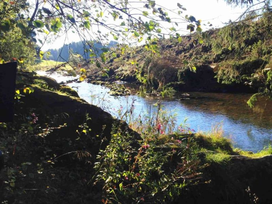
Am Flussrand lädt ein kleiner Strand zum Verweilen ein. In dieser Stille hallt der Waffenstillstand noch nach: Die Überquerung der Warche ist zugleich der Eintritt in den während der Ardennenoffensive 1944 hart umkämpften Militärstützpunkt Elsenborn.
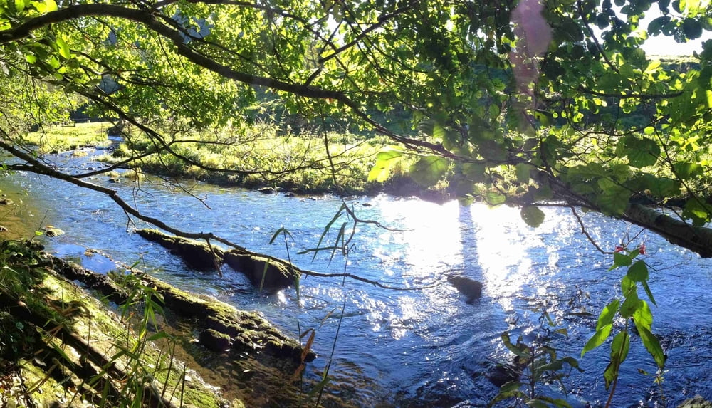
Der US-Armee gelingt es, die deutsche Offensive aufzuhalten. Grüne Hecken verschönern den Weg, der sich am Hügelkamm entlang schlängelt. Am Ende unserer Wanderung erreichen wir ein letztes Mal die Warche, die sich hier zwischen hohen Gräsern und Mähwiesen kräuselt. *
*Text und Fotos entnommen Brochüre "Genusstouren Durch die Wälder ", der Touristik-ostbelgien.be
Further information at
http://der-eifelyeti.de/2018/01/22/koenigreich-der-raubvoegel/Tour gallery
Tour map and elevation profile
Minimum height 500 m
Maximum height 598 m
More about the tour author
|
|
Eifelyeti |
Comments

GPS tracks
Trackpoints-
GPX / Garmin Map Source (gpx) download
-
TCX / Garmin Training Center® (tcx) download
-
CRS / Garmin Training Center® (crs) download
-
Google Earth (kml) download
-
G7ToWin (g7t) download
-
TTQV (trk) download
-
Overlay (ovl) download
-
Fugawi (txt) download
-
Kompass (DAV) Track (tk) download
-
Track data sheet (pdf) download
-
Original file of the author (gpx) download
More about the tour author
|
|
Eifelyeti |
Add to my favorites
Remove from my favorites
Edit tags
Open track
My score
Rate