


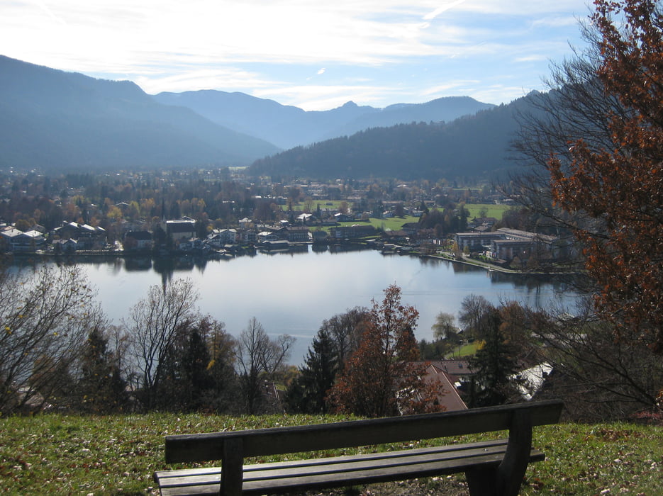
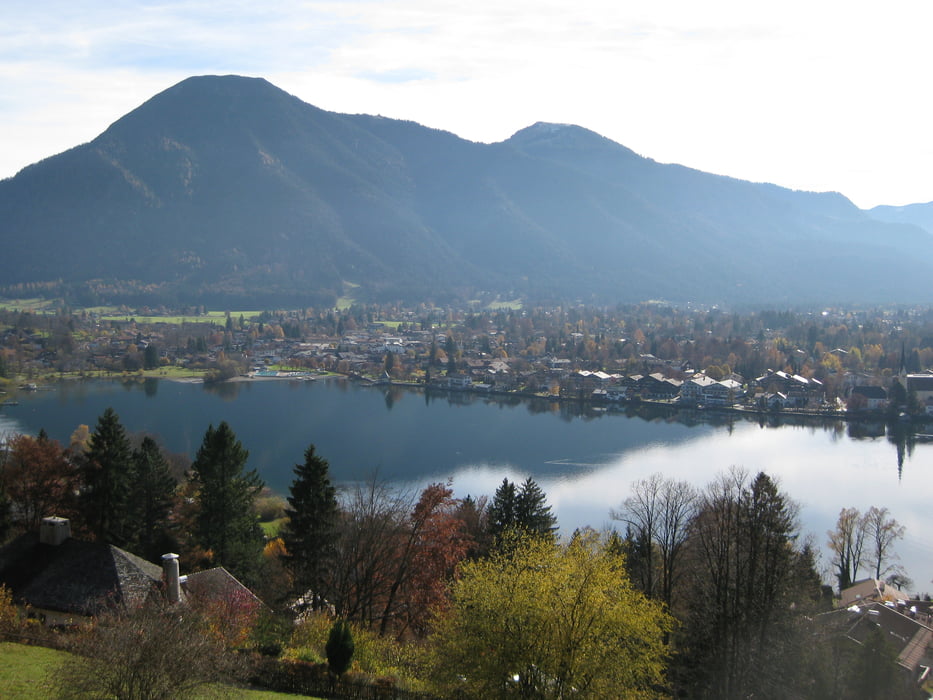
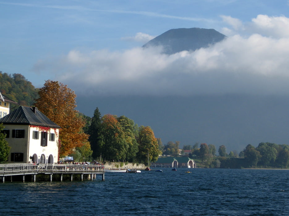
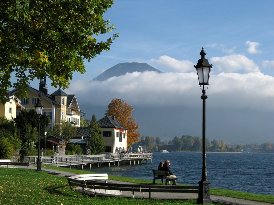
Vom BOB-Bahnhof Tegernsee aus gehen wir über die Bahnhofstraße, die Max-Josef-Straße und den Prinzenweg hinauf auf den Tegernseer Höhenweg. Die Schützenstraße und der Sonnleitenweg führen uns zum "Großen Paraplui", von dem wir einen weiten Blick über den Tegernsee, über Rottach und Egern bis zum Wallberg haben. Auf dem Rückweg wandern wir auf einem Waldlehrpfad hinunter nach Tegernsee. Wir queren die Seestraße und kommen auf die Schloßpromenade. Nun gehen über den Seeufersteg weiter immer am Seeufer entlang. Wir kreuzen erneut die Hauptstraße und gelangen über die Hochfeldstraße und Karl Theodor Straße zurück zum BOB-Bahnhof.
Tour gallery
Tour map and elevation profile
Minimum height 709 m
Maximum height 859 m
More about the tour author

|
frank_guenther |
Comments

Startpunkt (und Zielpunkt) ist der BOB-Bahnhof ("Bahnhofsplatz") in Tegernsee.
GPS tracks
Trackpoints-
GPX / Garmin Map Source (gpx) download
-
TCX / Garmin Training Center® (tcx) download
-
CRS / Garmin Training Center® (crs) download
-
Google Earth (kml) download
-
G7ToWin (g7t) download
-
TTQV (trk) download
-
Overlay (ovl) download
-
Fugawi (txt) download
-
Kompass (DAV) Track (tk) download
-
Track data sheet (pdf) download
-
Original file of the author (gpx) download
More about the tour author
|
|
frank_guenther |
Add to my favorites
Remove from my favorites
Edit tags
Open track
My score
Rate