
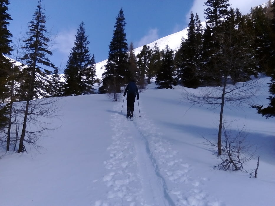

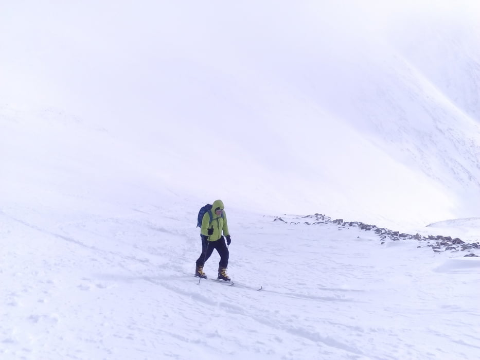
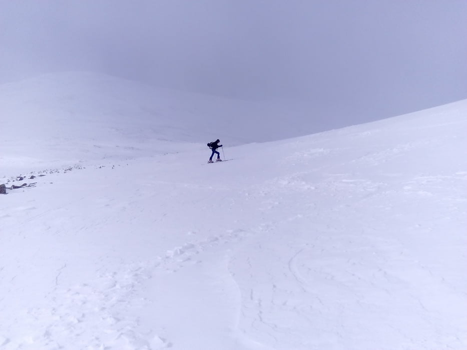
Im unteren Teil war es noch angenehm sonnig. Je weiter wir hinauf kamen, umso windiger und unangenehmer wurde es.
Daher machten wir ca 300 hm unterm Gipfel kehrt.
Die Abfahrt war bei diesen Schneeverhältnissen - windgepresst, Bruchharsch - nicht besonders lustig.
Beim Aufstieg wären wir besser der Wegtafel gefolgt bzw wir hätten gleich den Forstweg genommen, wie wir runtergekommen sind.
Tour gallery
Tour map and elevation profile
Minimum height 1157 m
Maximum height 2153 m
More about the tour author
|
|
mitter |
Comments

Start am Ende der Straße kurz vorm Ingeringsee.
GPS tracks
Trackpoints-
GPX / Garmin Map Source (gpx) download
-
TCX / Garmin Training Center® (tcx) download
-
CRS / Garmin Training Center® (crs) download
-
Google Earth (kml) download
-
G7ToWin (g7t) download
-
TTQV (trk) download
-
Overlay (ovl) download
-
Fugawi (txt) download
-
Kompass (DAV) Track (tk) download
-
Track data sheet (pdf) download
-
Original file of the author (gpx) download
More about the tour author
|
|
mitter |
Add to my favorites
Remove from my favorites
Edit tags
Open track
My score
Rate