


Es hat -6° C und ein eisiger Wind weht! Die Wanderung verläuft aber meist im schützenden Wald!
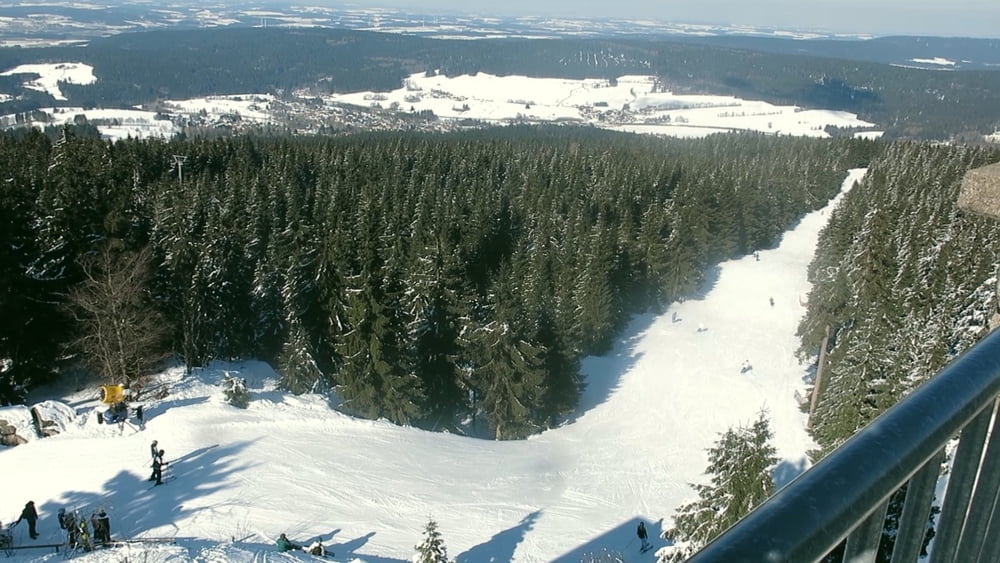
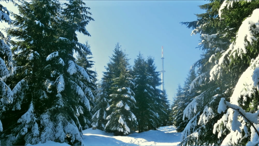
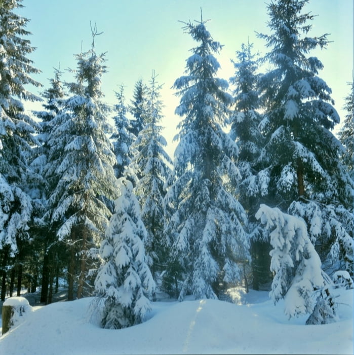
Am Waldrasthaus vorbei, links auf breitem, sonnigen Forstweg bis zur Loipe. Am Loipenrand (Hinweis) links weiter. Am Loipenende links über die Straße ein Abstecher zum Fichtelsee. Zurück über Straße, links weiter. Nach ca. 100m rechts ab. Im tiefen Schnee auf Pfad durch den Wald aufwärts, wir kreuzen die Loipe "unterer Ringweg" geradeaus, an Bächlein aufwärts an vielen Felsen vorbei. An Felsgruppe mit Wegweiser "Ochsenkopf 3km" links ab, es geht leicht abwärts wieder zu einer Loipe. Hier links ("Ochsenkopf 1.8km") halbrechts der Loipe weiter bergan, auf welligem Schneepfad weiter: die Tannen und Fichten tragen immer mehr Schnee, kurz vor der Ochsenkopf- Höhe nach links Abstecher zum "Goethefelsen". Zurück und nach links ist bald der Ochsenkopf erreicht.
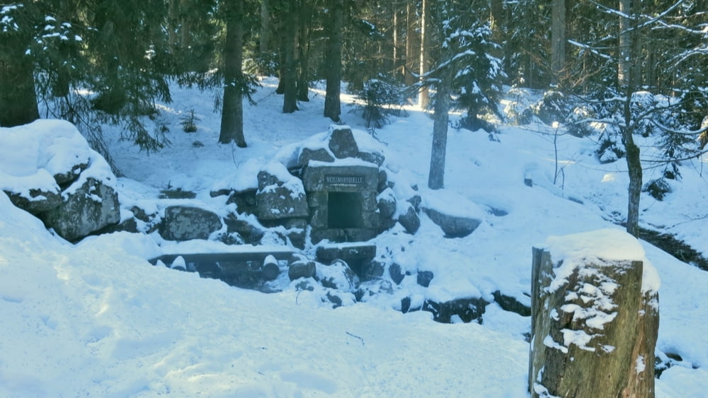
Auf gleichem Weg zurück, am Wegweiser 1,8 km folgen wir nach links dem Wegweiser "Weißmainquelle". An dieser nunmehr etwas kräftiger abwärts auf wenig begangenem Pfad zum "Karches" zurück.
Tour gallery

Tour map and elevation profile
Minimum height 746 m
Maximum height 1017 m
More about the tour author
|
|
heinz-57 |
Comments

Von Bischofsgrün der B303 folgend Richtung Tröstau, am "Waldrasthaus Karches" Parkplatz
GPS tracks
Trackpoints-
GPX / Garmin Map Source (gpx) download
-
TCX / Garmin Training Center® (tcx) download
-
CRS / Garmin Training Center® (crs) download
-
Google Earth (kml) download
-
G7ToWin (g7t) download
-
TTQV (trk) download
-
Overlay (ovl) download
-
Fugawi (txt) download
-
Kompass (DAV) Track (tk) download
-
Track data sheet (pdf) download
-
Original file of the author (gpx) download
More about the tour author
|
|
heinz-57 |
Add to my favorites
Remove from my favorites
Edit tags
Open track
My score
Rate