Login

Forgotten password?

Cookies have to be accepted!
Your browser's cookie functionality is disabled. Please enable this functionality.

Not a member yet?

Register now
Login

Available for registred users only

Log in to use this feature.

Forgotten password?

Cookies have to be accepted!
Your browser's cookie functionality is disabled. Please enable this functionality.

Not a member yet?

Register now
Filter
Categories
Advanced filters
  • Distance (km)
  • Height
Save filters Reset filter

TrackRank

QRCode

Technical data

Distance12,0 km Height245 m Way down250 m Duration02:13 h:m Date11.03.2018
Scores Author Landscape Fun factor Fitness Technique

Statistics

224 Views Scores 8 Downloads Average
Rate
  • Track data sheet
  • Directions
  • Downloads
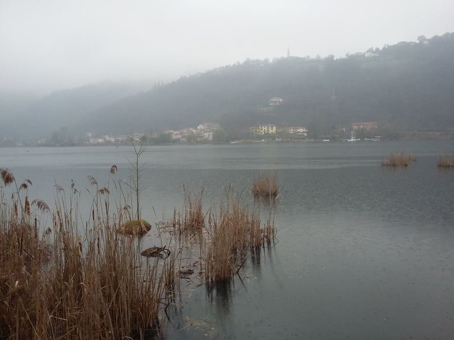
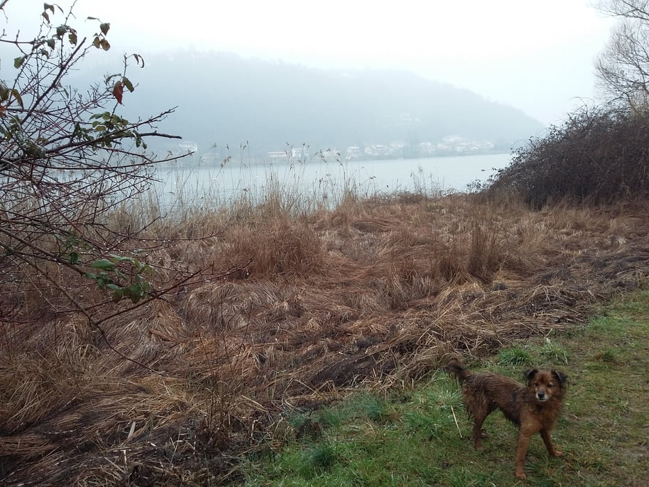
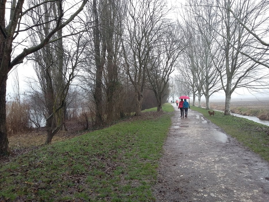
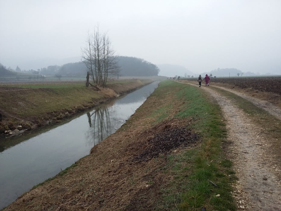
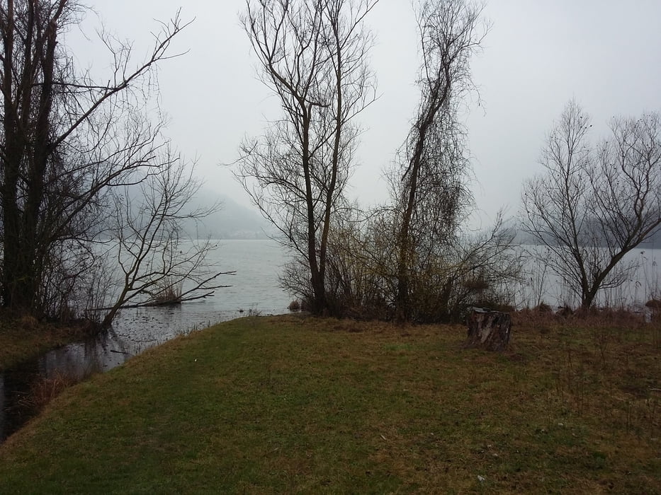
 Stupendo luogo per una marcia; peccato che un tempo pessimo abbia rovinato tutto.

Further information at

http://www.veneto.eu/dove-andare-dettaglio?path=/DoveAndare/Laghi/LagoFimon&lang=it

Tour gallery

Tour map and elevation profile

  • Open Street Map
  • Google
Minimum height 8 m Maximum height 123 m Detailed view

More about the tour author

agosflavio
Member since 2013

Send private message

Comments

GPS tracks

Trackpoints
  • GPX / Garmin Map Source (gpx) download
  • TCX / Garmin Training Center® (tcx) download
  • CRS / Garmin Training Center® (crs) download
  • Google Earth (kml) download
  • G7ToWin (g7t) download
  • TTQV (trk) download
  • Overlay (ovl) download
  • Fugawi (txt) download
  • Kompass (DAV) Track (tk) download
  • Track data sheet (pdf) download
  • Original file of the author (gpx) download

More about the tour author

agosflavio
Member since 2013

Send private message
Share track
Add to my favorites
Remove from my favorites
Edit tags
My score
Rate
Track: Fimon in Marcia a Torri di Arcugnano (VI)
Type: Mountain hiking
Distance: 12,0 km
Evaluated on:
Duration:
Day(s)
Hour(s)
Minute(s)
Score: Landscape Fun factor Fitness Technique