Login

Forgotten password?

Cookies have to be accepted!
Your browser's cookie functionality is disabled. Please enable this functionality.

Not a member yet?

Register now
Login

Available for registred users only

Log in to use this feature.

Forgotten password?

Cookies have to be accepted!
Your browser's cookie functionality is disabled. Please enable this functionality.

Not a member yet?

Register now
Filter
Categories
Advanced filters
  • Distance (km)
  • Height
Save filters Reset filter

TrackRank

QRCode

Technical data

Distance8,8 km Height140 m Way down147 m Duration02:00 h:m Date11.03.2018
Scores Author Landscape Fun factor Fitness Technique

Statistics

239 Views Scores 14 Downloads Average
Rate
  • Track data sheet
  • Directions
  • Downloads
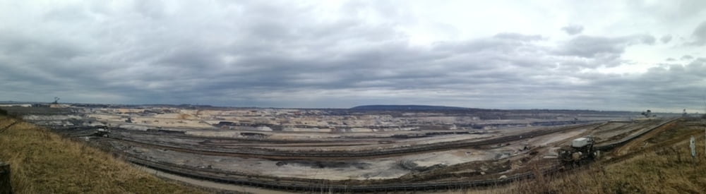
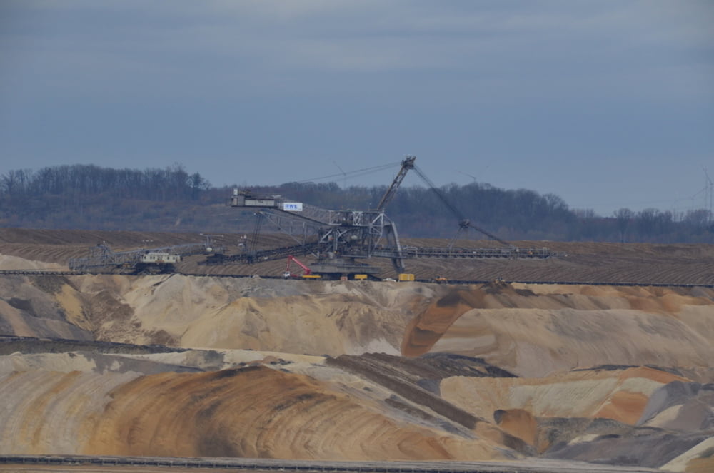
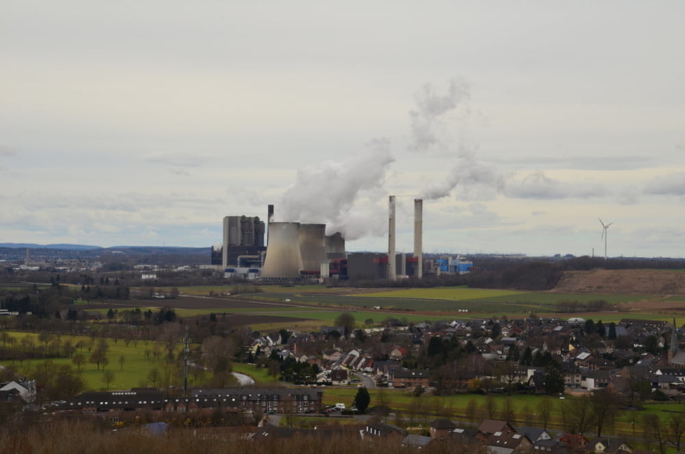
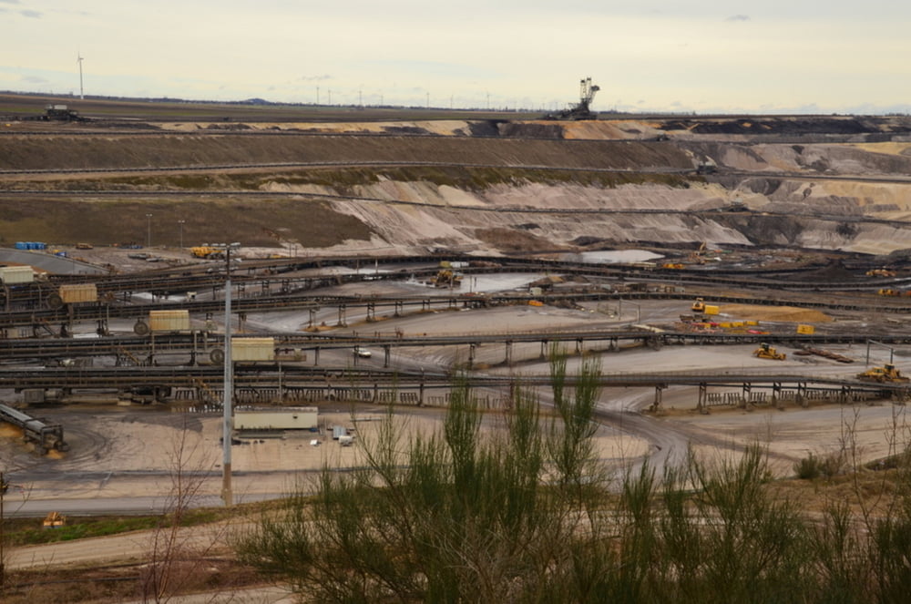
Industriële wandeling in de buurt van de bruinkoolmijn Inden. In het gehuchtje Inde/Altendorf en boven op de Indemann is er de mogelijkheid om iets te drinken.

Tour gallery

Tour map and elevation profile

  • Open Street Map
  • Google
Minimum height 90 m Maximum height 154 m Detailed view

More about the tour author

ikkel
Member since 2009

Send private message

Comments

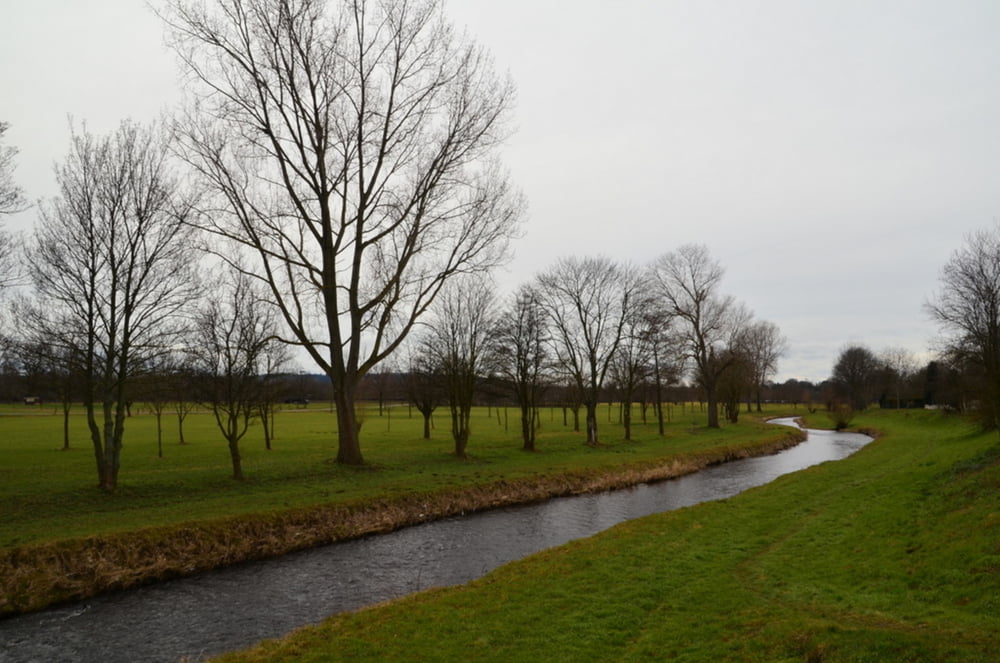
De ondergrond is zelfs bij nat weer, zeer goed begaanbaar

GPS tracks

Trackpoints
  • GPX / Garmin Map Source (gpx) download
  • TCX / Garmin Training Center® (tcx) download
  • CRS / Garmin Training Center® (crs) download
  • Google Earth (kml) download
  • G7ToWin (g7t) download
  • TTQV (trk) download
  • Overlay (ovl) download
  • Fugawi (txt) download
  • Kompass (DAV) Track (tk) download
  • Track data sheet (pdf) download
  • Original file of the author (gpx) download

More about the tour author

ikkel
Member since 2009

Send private message
Share track
Add to my favorites
Remove from my favorites
Edit tags
My score
Rate
Track: tagesbau Inden
Type: Hiking
Distance: 8,8 km
Evaluated on:
Duration:
Day(s)
Hour(s)
Minute(s)
Score: Landscape Fun factor Fitness Technique