Login

Forgot your login?

Cookies have to be accepted!
Your browser's cookie functionality is disabled. Please enable this functionality.

Not a member yet?

Register now
Login

Available for registred users only

Log in to use this feature.

Forgot your login?

Cookies have to be accepted!
Your browser's cookie functionality is disabled. Please enable this functionality.

Not a member yet?

Register now
Filter
Categories
Advanced filters
  • Distance (km)
  • Height
Save filters Reset filter

TrackRank

QRCode

Technical data

Distance6,7 km Height302 m Way down303 m Duration02:30 h:m Date25.03.2018
Scores Author Landscape Fun factor Fitness Technique

Statistics

288 Views Scores 8 Downloads Average
Rate
  • Track data sheet
  • Directions
  • Downloads
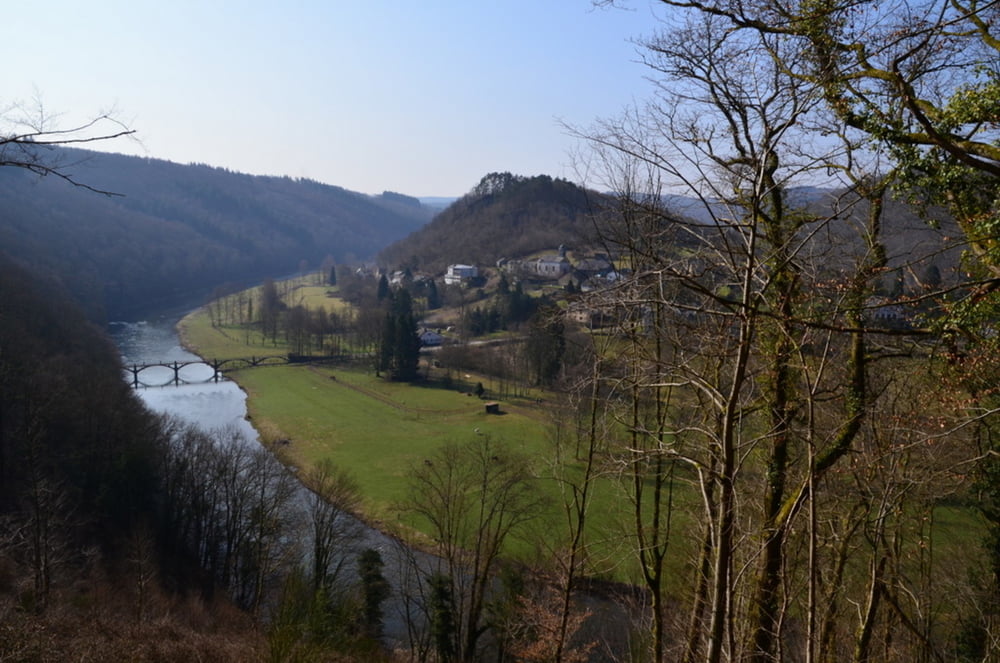
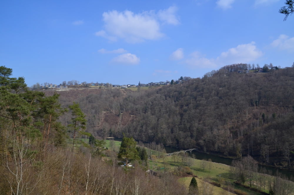
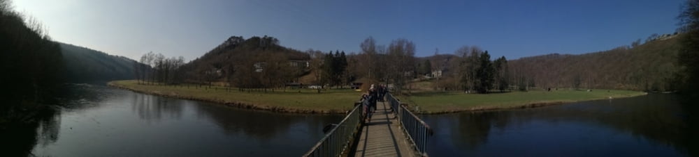
In Frahan is een cafeetje waar je iets kan drinken

Tour gallery

Tour map and elevation profile

  • Open Street Map
  • Google
Minimum height 180 m Maximum height 368 m Detailed view

More about the tour author

ikkel
Member since 2009

Send private message

Comments

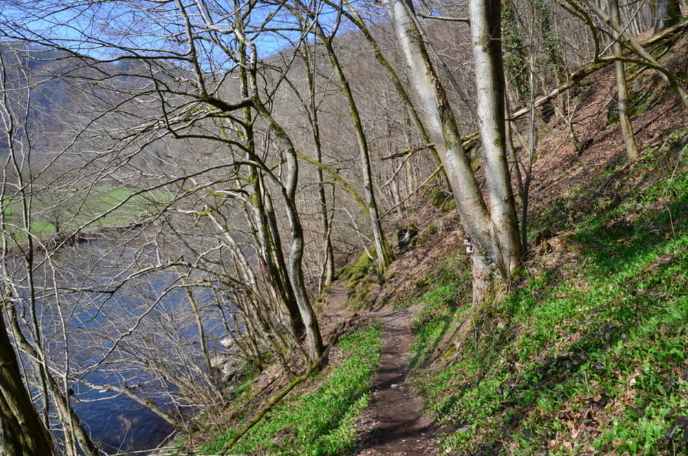
je kan er via een brede maar steile weg naar Frahan, of zoals wij langs een aantal singletrails.

Allezins is stevig wandelschoeisel aan te raden.

GPS tracks

Trackpoints
  • GPX / Garmin Map Source (gpx) download
  • TCX / Garmin Training Center® (tcx) download
  • CRS / Garmin Training Center® (crs) download
  • Google Earth (kml) download
  • G7ToWin (g7t) download
  • TTQV (trk) download
  • Overlay (ovl) download
  • Fugawi (txt) download
  • Kompass (DAV) Track (tk) download
  • Track data sheet (pdf) download
  • Original file of the author (gpx) download

More about the tour author

ikkel
Member since 2009

Send private message
Share track
Add to my favorites
Remove from my favorites
Edit tags
My score
Rate
Track: Rochehaut - Frahan
Type: Hiking
Distance: 6,7 km
Evaluated on:
Duration:
Day(s)
Hour(s)
Minute(s)
Score: Landscape Fun factor Fitness Technique