Login

Forgotten password?

Cookies have to be accepted!
Your browser's cookie functionality is disabled. Please enable this functionality.

Not a member yet?

Register now
Login

Available for registred users only

Log in to use this feature.

Forgotten password?

Cookies have to be accepted!
Your browser's cookie functionality is disabled. Please enable this functionality.

Not a member yet?

Register now
Filter
Categories
Advanced filters
  • Distance (km)
  • Height
Save filters Reset filter

TrackRank

QRCode

Technical data

Distance8,6 km Height73 m Way down432 m Duration02:18 h:m Date30.03.2018
Scores Author Landscape Fun factor Fitness Technique

Statistics

638 Views Scores 42 Downloads Average
Rate
  • Track data sheet
  • Directions
  • Downloads
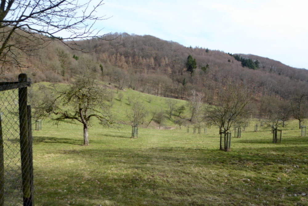
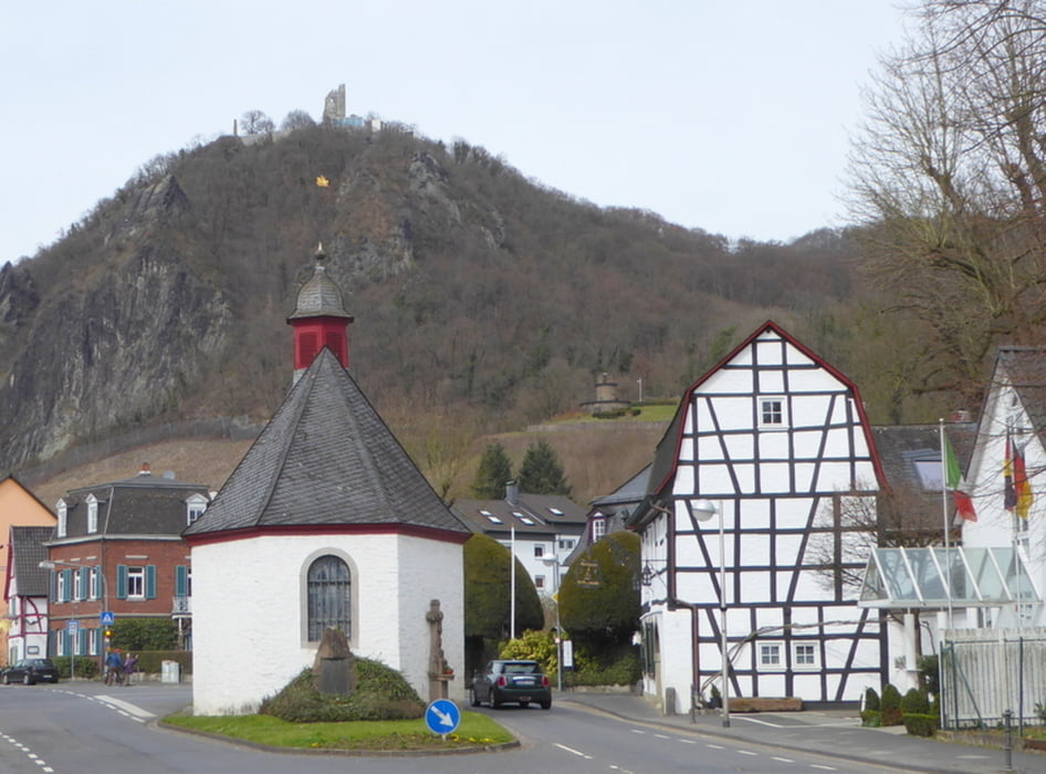
Vom Bundesbahn-Bahnhof Königswinter fahren wir mit dem Bus 521 bis Ittenbach Margarethenhöhe und wandern vorbei am Löwenburger Hof durch das Annatal nach Rommerskirchen mit der Villa Schaaffhausen und weiter über den Frankenweg nach Rhöndorf mit Blick auf den Drachenfels

Tour gallery

Tour map and elevation profile

  • Open Street Map
  • Google
Minimum height 62 m Maximum height 422 m Detailed view

More about the tour author

horst1508
Member since 2012

Send private message

Comments

siehe oben

GPS tracks

Trackpoints
  • GPX / Garmin Map Source (gpx) download
  • TCX / Garmin Training Center® (tcx) download
  • CRS / Garmin Training Center® (crs) download
  • Google Earth (kml) download
  • G7ToWin (g7t) download
  • TTQV (trk) download
  • Overlay (ovl) download
  • Fugawi (txt) download
  • Kompass (DAV) Track (tk) download
  • Track data sheet (pdf) download
  • Original file of the author (gpx) download

More about the tour author

horst1508
Member since 2012

Send private message
Share track
Add to my favorites
Remove from my favorites
Edit tags
My score
Rate
Track: Siebengebirge: Margarethenhöhe - Annatal - Rhöndorf
Type: Hiking
Distance: 8,6 km
Evaluated on:
Duration:
Day(s)
Hour(s)
Minute(s)
Score: Landscape Fun factor Fitness Technique