


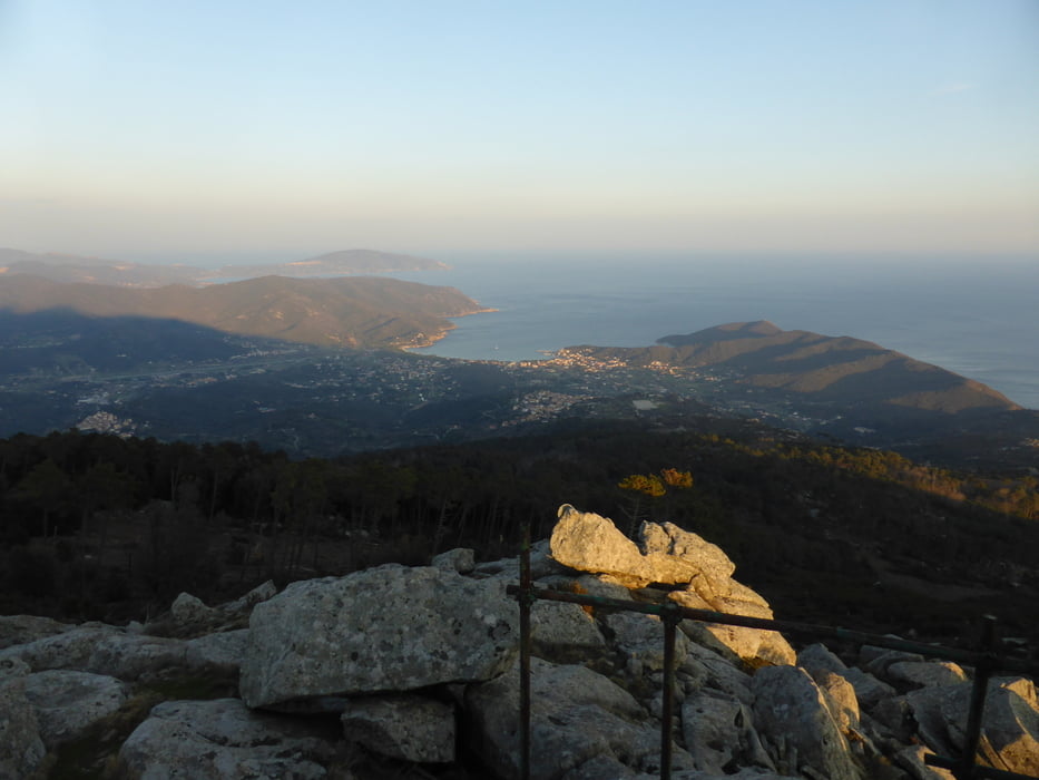
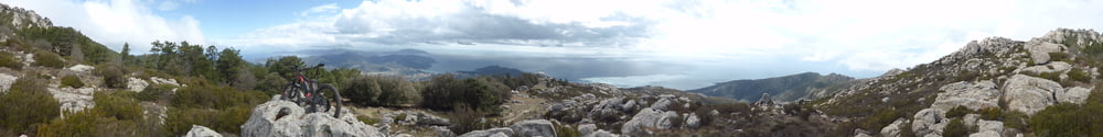
kleine Wanderung bei Marciana / Marina di Campo
viel in Wäldern, oben im offenen Gelände mit einzelnen Steinbrocken (Masso...).
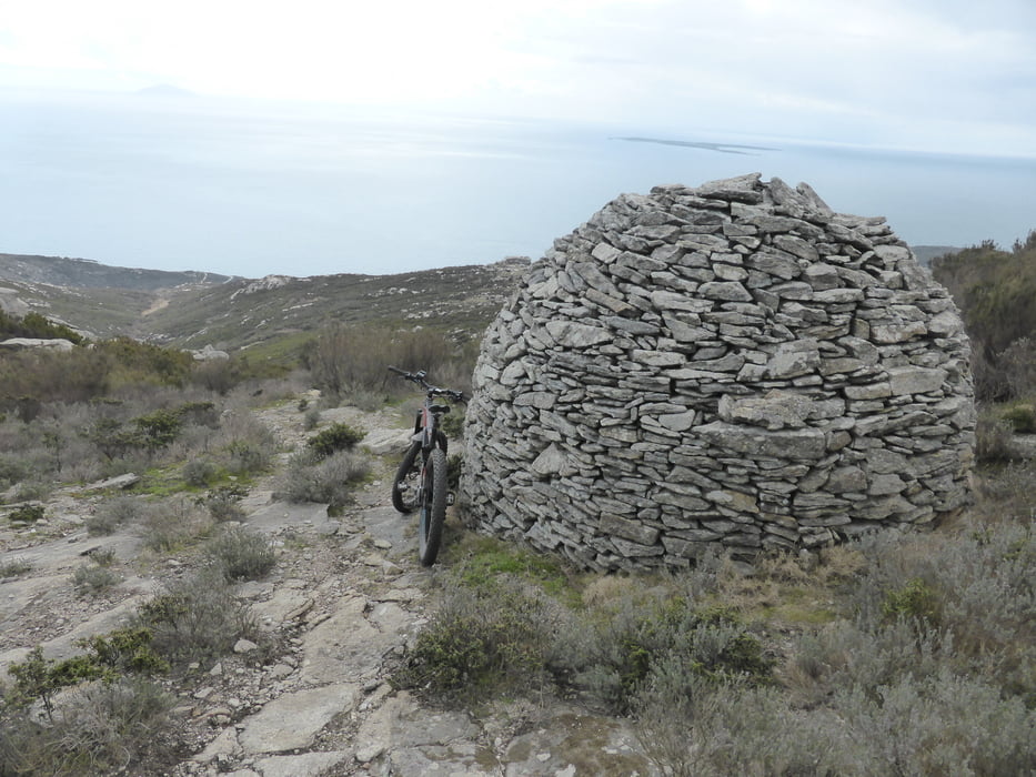
Unterhalb des Masso alla Quanto ist ein Steiniglu Grottino alla Quanta
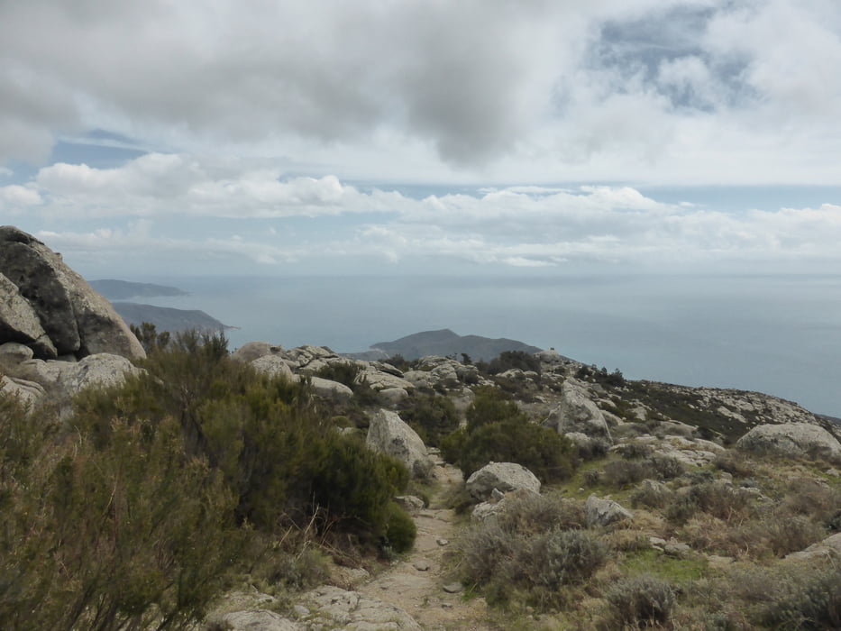
Auch als Basis um an den Mt. Capanne zu kommen geeignet, Die Wege nach dem Monte Tiratoio sind in Karte gepunktet (alpin) eingezeichnet.
Als Alternativer Rückweg von der Mt. Capanne Tour zum Mt. Parkplatz Mt. Perone verwendbar. https://www.gps-tour.info/de/touren/detail.162926.html
Tour gallery
Tour map and elevation profile
Minimum height 581 m
Maximum height 808 m
More about the tour author
|
|
skyhopper |
Comments

Parken an Passstrasse zum Mt. Perone
GPS tracks
Trackpoints-
GPX / Garmin Map Source (gpx) download
-
TCX / Garmin Training Center® (tcx) download
-
CRS / Garmin Training Center® (crs) download
-
Google Earth (kml) download
-
G7ToWin (g7t) download
-
TTQV (trk) download
-
Overlay (ovl) download
-
Fugawi (txt) download
-
Kompass (DAV) Track (tk) download
-
Track data sheet (pdf) download
-
Original file of the author (gpx) download
More about the tour author
|
|
skyhopper |
Add to my favorites
Remove from my favorites
Edit tags
Open track
My score
Rate