Login

Forgotten password?

Cookies have to be accepted!
Your browser's cookie functionality is disabled. Please enable this functionality.

Not a member yet?

Register now
Login

Available for registred users only

Log in to use this feature.

Forgotten password?

Cookies have to be accepted!
Your browser's cookie functionality is disabled. Please enable this functionality.

Not a member yet?

Register now
Filter
Categories
Advanced filters
  • Distance (km)
  • Height
Save filters Reset filter

TrackRank

QRCode

Technical data

Distance13,9 km Height291 m Way down300 m Duration04:13 h:m Date15.04.2018
Scores Author Landscape Fun factor Fitness Technique

Statistics

283 Views Scores 16 Downloads Average
Rate
  • Track data sheet
  • Directions
  • Downloads

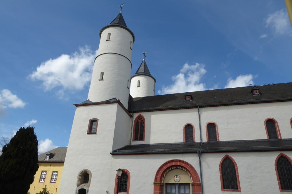
Vom Bahnhof Kall wandern wir über Golbach zum Kloster Steinfeld

Dort können wir im Wirtshaus "Zur Alten Abtei" oder im Klostercafé einkehren.

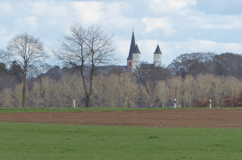
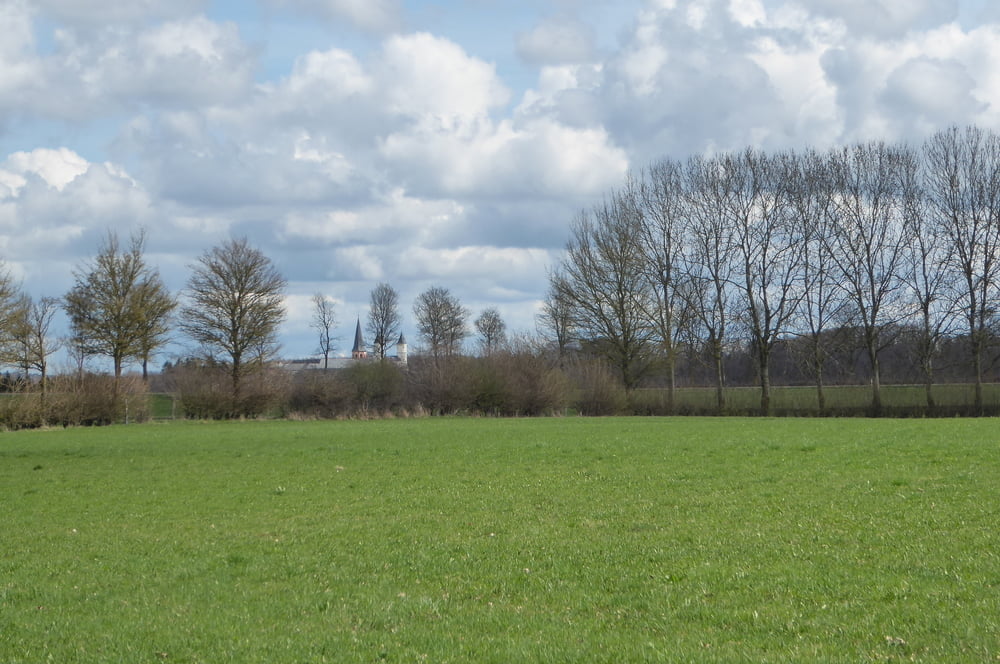
Danach geht es weiter zum Bahnhof Urft vorbei am Eifelblick (kurzer Aufstieg) mit herrichem Blick auf das Kloster und die Umgebung


Further information at

http://www.kloster-steinfeld.com/

Tour gallery

Tour map and elevation profile

  • Open Street Map
  • Google
Minimum height 397 m Maximum height 536 m Detailed view

More about the tour author

horst1508
Member since 2012

Send private message

Comments

Anfarht mit Bundesbahn nach Bahnhof Kall und später zrück vom Bahnhof Urft

GPS tracks

Trackpoints
  • GPX / Garmin Map Source (gpx) download
  • TCX / Garmin Training Center® (tcx) download
  • CRS / Garmin Training Center® (crs) download
  • Google Earth (kml) download
  • G7ToWin (g7t) download
  • TTQV (trk) download
  • Overlay (ovl) download
  • Fugawi (txt) download
  • Kompass (DAV) Track (tk) download
  • Track data sheet (pdf) download
  • Original file of the author (gpx) download

More about the tour author

horst1508
Member since 2012

Send private message
Share track
Add to my favorites
Remove from my favorites
Edit tags
My score
Rate
Track: Kall - Kloster Steinfeld - Urft
Type: Hiking
Distance: 13,9 km
Evaluated on:
Duration:
Day(s)
Hour(s)
Minute(s)
Score: Landscape Fun factor Fitness Technique