Login

Forgot your login?

Cookies have to be accepted!
Your browser's cookie functionality is disabled. Please enable this functionality.

Not a member yet?

Register now
Login

Available for registred users only

Log in to use this feature.

Forgot your login?

Cookies have to be accepted!
Your browser's cookie functionality is disabled. Please enable this functionality.

Not a member yet?

Register now
Filter
Categories
Advanced filters
  • Distance (km)
  • Height
Save filters Reset filter

TrackRank

QRCode

Technical data

Distance5,5 km Height170 m Way down167 m Duration01:40 h:m Date21.04.2018
Scores Author Landscape Fun factor Fitness Technique

Statistics

204 Views Scores 20 Downloads Average
Rate
  • Track data sheet
  • Directions
  • Downloads

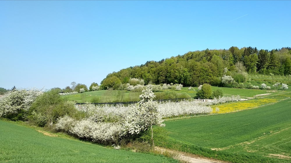
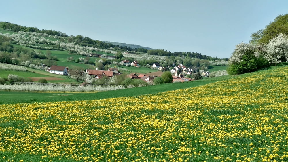
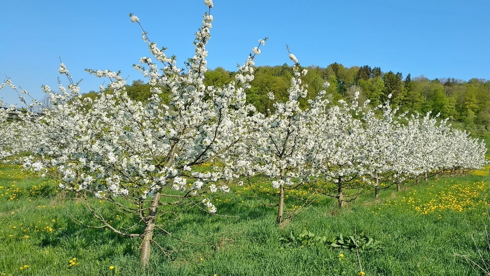
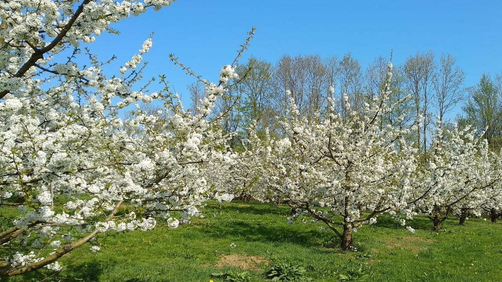
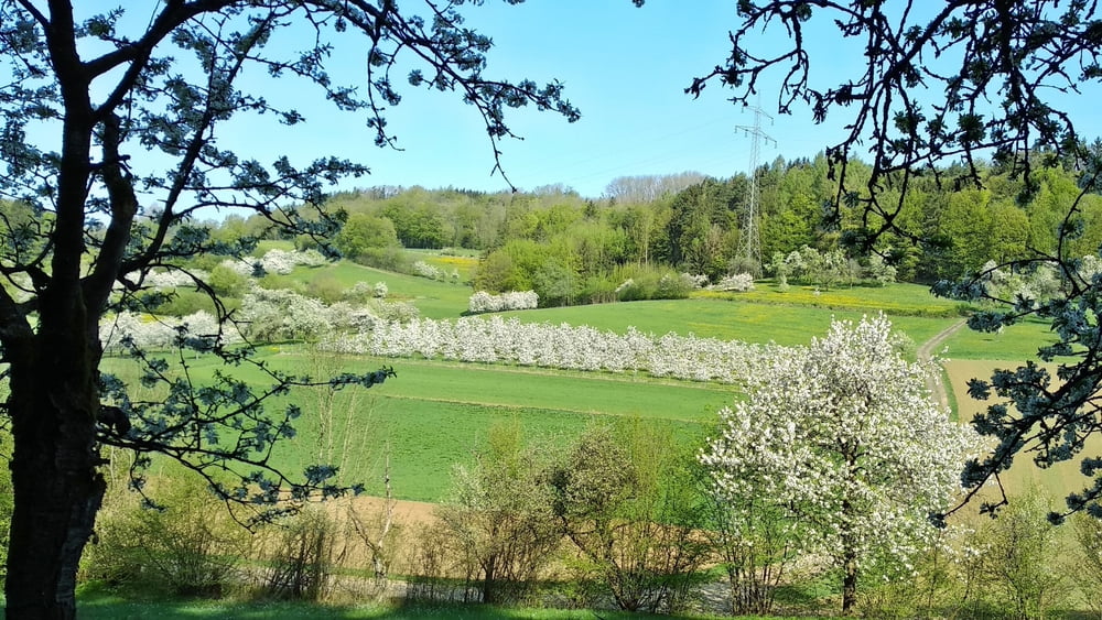
Eine gemütliche Wanderung- die Kirschblüte ist noch nicht vorbei!

Am Feuerwehrhaus rechts ab, durch das Ehrenbachtal, bergan auf dem Flursträßchen. Auf der Höhe an Querweg links ab. Wir folgen dem Weg auf und ab und schließlich abwärts in das keine Tal zurück.

Tour gallery

Tour map and elevation profile

  • Open Street Map
  • Google
Minimum height 393 m Maximum height 544 m Detailed view

More about the tour author

heinz-57
Member since 2009

Send private message

Comments

Von Forchhein oder Erlangen kommend nach Mittelehrenbach, durch den Ort nach Oberehrenbach. Am Brunnen lnks ab, kleiner Parkpatz gegenüber Feuerwehrhaus.

GPS tracks

Trackpoints
  • GPX / Garmin Map Source (gpx) download
  • TCX / Garmin Training Center® (tcx) download
  • CRS / Garmin Training Center® (crs) download
  • Google Earth (kml) download
  • G7ToWin (g7t) download
  • TTQV (trk) download
  • Overlay (ovl) download
  • Fugawi (txt) download
  • Kompass (DAV) Track (tk) download
  • Track data sheet (pdf) download
  • Original file of the author (gpx) download

More about the tour author

heinz-57
Member since 2009

Send private message
Share track
Add to my favorites
Remove from my favorites
Edit tags
My score
Rate
Track: Wandern Franken: Kirschblüte in Oberfranken/ Oberehrenbach
Type: Hiking
Distance: 5,5 km
Evaluated on:
Duration:
Day(s)
Hour(s)
Minute(s)
Score: Landscape Fun factor Fitness Technique