


Start dieser Tour ist Prad am Stilfser Joch.
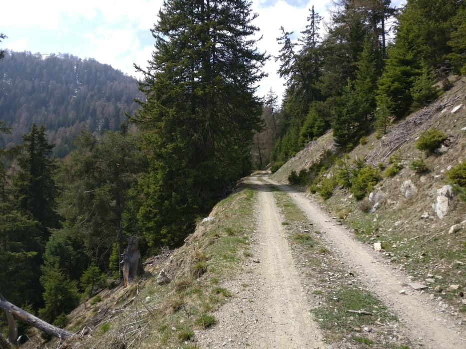
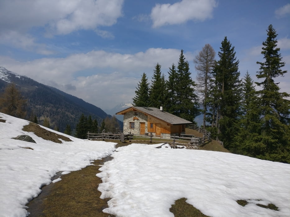
Von der Kirche weg, über den Suldenbach führt uns der Weg steil hinauf am Mitterhof vorbei zu einem Grillplatz. Über den Archaik-Weg geht’s entlang schöner Aussichtsmöglichkeiten Richtung Stilfs hinauf zur kleinen nicht bewirteten Schartalm. Hier oben angelangt eröffnet sich eine schöne Möglichkeit sein wohlverdientes aber selbst mitgebrachtes Vesper zu genießen.
Wer höher hinaus möchte kann nun den Großmontoni ( 1971) erklimmen.
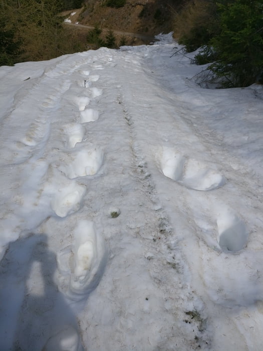
Wir entschlossen uns wegen der Schneelage (25.4.2018) den Abstieg anzugehen.
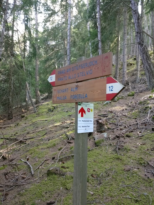
Dieser erfolgte über den Forstweg Richtung Lichtenberg zum Wanderweg Nr. 12, der uns wieder am alten und neuen Mitterhof vorbei zum Ausgangspunkt zurück bringt.
Viel Spass
Tour gallery
Tour map and elevation profile
Minimum height 891 m
Maximum height 1830 m
More about the tour author
|
|
volker67 |
Comments

GPS tracks
Trackpoints-
GPX / Garmin Map Source (gpx) download
-
TCX / Garmin Training Center® (tcx) download
-
CRS / Garmin Training Center® (crs) download
-
Google Earth (kml) download
-
G7ToWin (g7t) download
-
TTQV (trk) download
-
Overlay (ovl) download
-
Fugawi (txt) download
-
Kompass (DAV) Track (tk) download
-
Track data sheet (pdf) download
-
Original file of the author (gpx) download
More about the tour author
|
|
volker67 |
Add to my favorites
Remove from my favorites
Edit tags
Open track
My score
Rate