Login

Forgotten password?

Cookies have to be accepted!
Your browser's cookie functionality is disabled. Please enable this functionality.

Not a member yet?

Register now
Login

Available for registred users only

Log in to use this feature.

Forgotten password?

Cookies have to be accepted!
Your browser's cookie functionality is disabled. Please enable this functionality.

Not a member yet?

Register now
Filter
Categories
Advanced filters
  • Distance (km)
  • Height
Save filters Reset filter

TrackRank

QRCode

Technical data

Distance84,7 km Height2011 m Way down2193 m Duration06:15 h:m Date02.05.2018
Scores Author Landscape Fun factor Fitness Technique

Statistics

212 Views Scores 23 Downloads Average
Rate
  • Track data sheet
  • Directions
  • Downloads
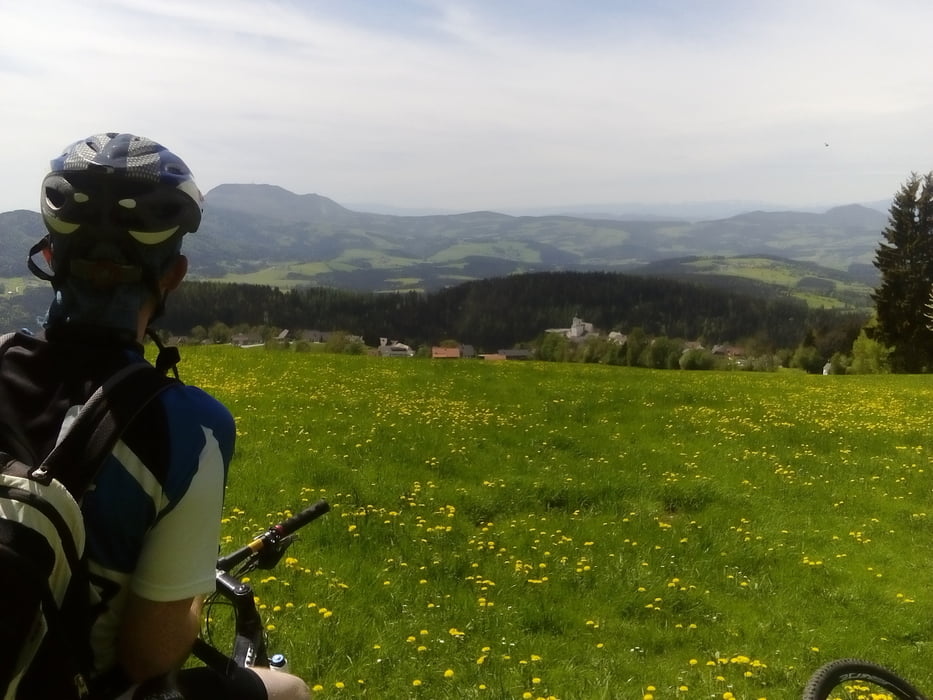
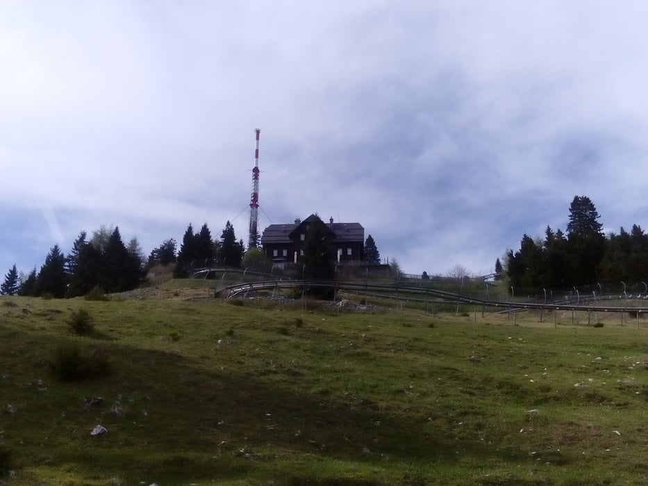
Angenehme Variante auf die Brandluckn, da gut eingekehrt beim Jagawirt. Dann übers Schöne Kreuz nach St. Kathrein, Passail. Und dann gemütlich rauf auf den Schöckl. Bis Graz dann nur noch abwärts. Schöne Strecke, konditionell einigermaßen fordernd.

Tour gallery

Tour map and elevation profile

  • Open Street Map
  • Google
Minimum height 353 m Maximum height 1420 m Detailed view

More about the tour author

mitter
Member since 2008

Send private message

Comments

Start in Anger.

GPS tracks

Trackpoints
  • GPX / Garmin Map Source (gpx) download
  • TCX / Garmin Training Center® (tcx) download
  • CRS / Garmin Training Center® (crs) download
  • Google Earth (kml) download
  • G7ToWin (g7t) download
  • TTQV (trk) download
  • Overlay (ovl) download
  • Fugawi (txt) download
  • Kompass (DAV) Track (tk) download
  • Track data sheet (pdf) download
  • Original file of the author (gpx) download

More about the tour author

mitter
Member since 2008

Send private message
Share track
Add to my favorites
Remove from my favorites
Edit tags
My score
Rate
Track: Anger-Brandluckn-Schöckl-Graz 180501
Type: Mountain bike
Distance: 84,7 km
Evaluated on:
Duration:
Day(s)
Hour(s)
Minute(s)
Score: Landscape Fun factor Fitness Technique