

- Rundkurs gegen den Uhrzeigersinn.
- Start/Ziel: Unterrain.
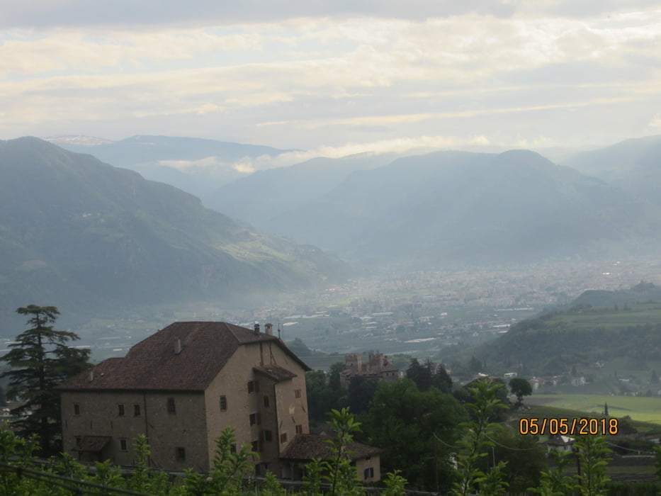
- Auf der Provinzstrasse bergauf bis nach St.Pauls (Konditorei Peter Paul)( KM 3,10.)
- Weiter auf schwach befahrener Provinzstrasse nach St.Michael/Eppan( KM 5,4-MH 419).
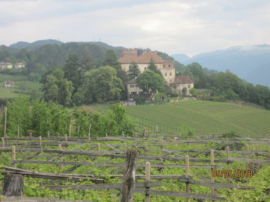
- Bergauf auf Asfalt-Waldweg, angenehm bis mittelsteil durch schattenspendende Buchenwälder bis zum Gasthof "Buchwald" (schöner Rundblick) (KM 14,7-MH946).
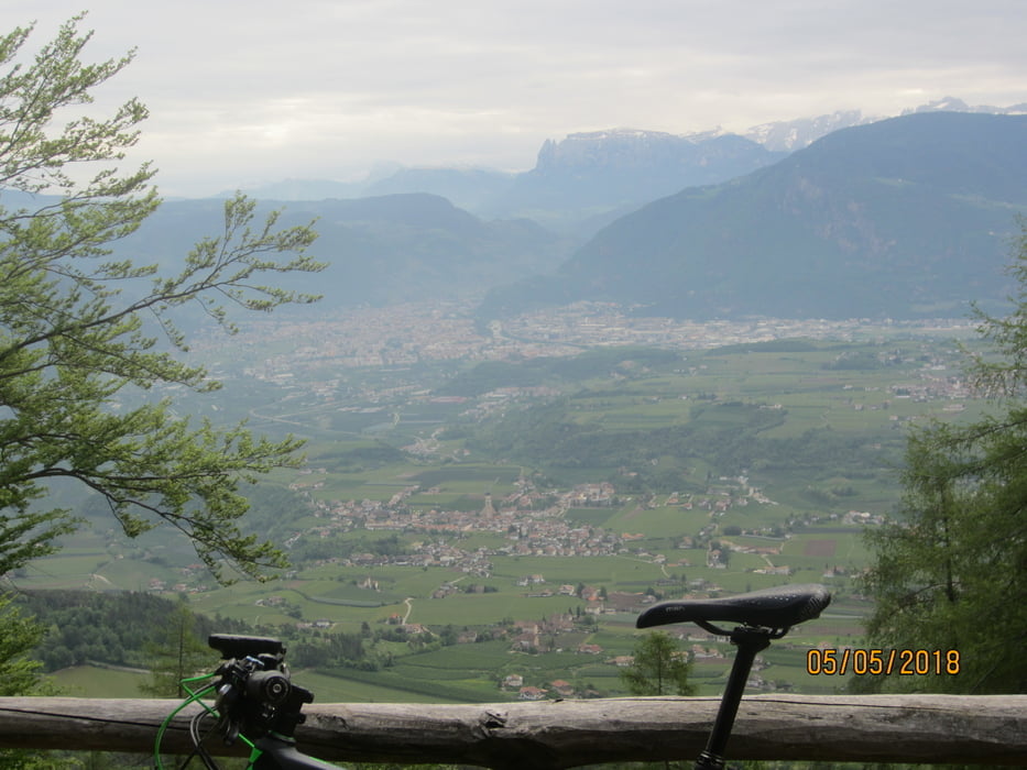
- Weiter leicht ansteigend auf dem Eppaner Höhenweg. Bei KM 18,6 ca. 300 MT. Steig mit Schiebepassagen.
- Bei KM 20,5 beginnt die Abfahrt nach St.Michael, grossteils auf einem Steig S1-S2, stellenweise etwas ruppig, bis KM 24,-MH 530.
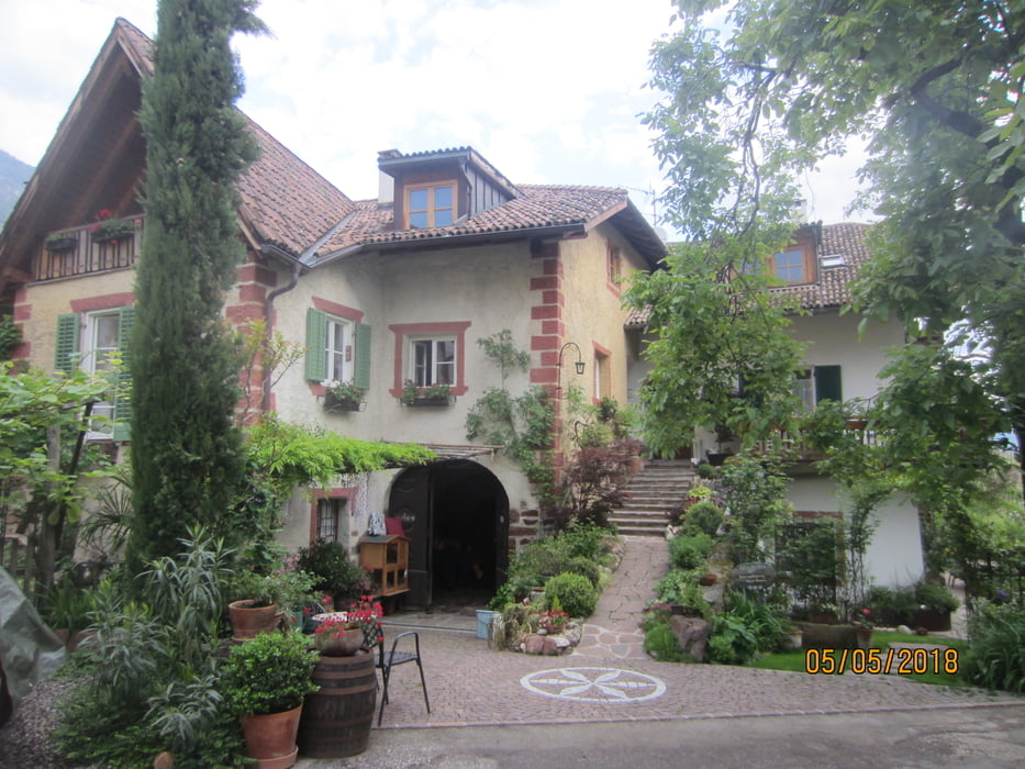
- Weiter auf Asfalt bis ins Dorfzentrum von St. Michael/Eppan (KM 27,5).
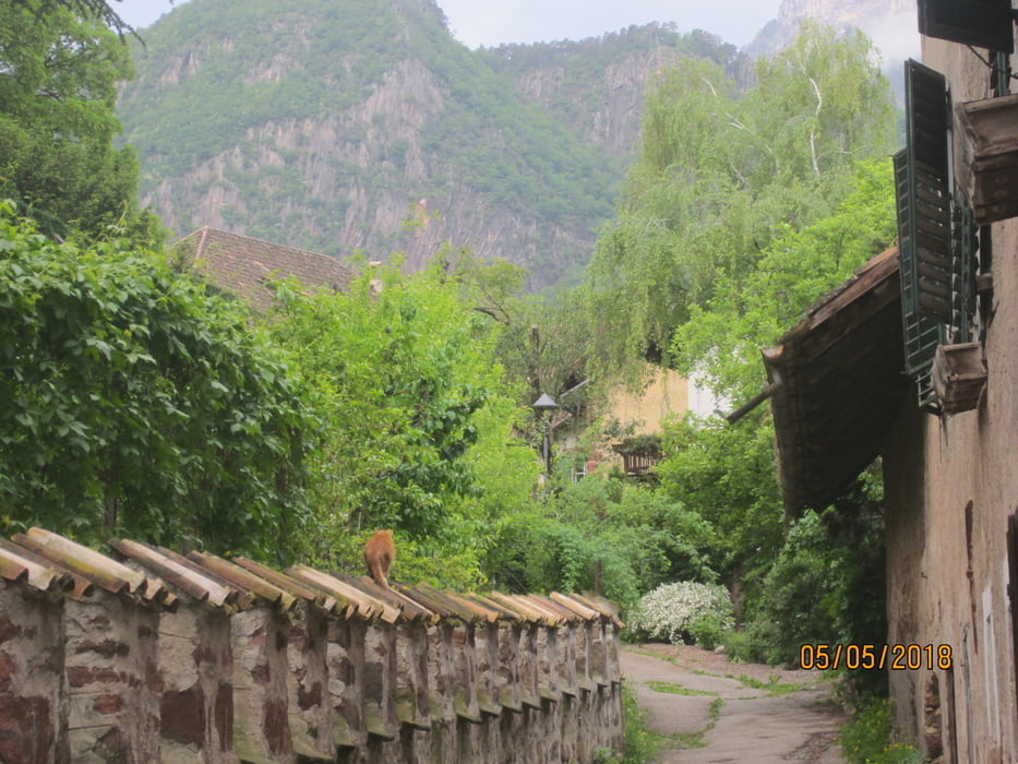
- Auf dem Radweg, bzw. asfaltierten Wiesenwegen zurück zum Ausgangspunkt nach Unterrain (KM 37,6-MH 252).
Tour gallery

Tour map and elevation profile
Minimum height 193 m
Maximum height 1031 m
More about the tour author
|
|
MargesinFriedrich |
Comments

GPS tracks
Trackpoints-
GPX / Garmin Map Source (gpx) download
-
TCX / Garmin Training Center® (tcx) download
-
CRS / Garmin Training Center® (crs) download
-
Google Earth (kml) download
-
G7ToWin (g7t) download
-
TTQV (trk) download
-
Overlay (ovl) download
-
Fugawi (txt) download
-
Kompass (DAV) Track (tk) download
-
Track data sheet (pdf) download
-
Original file of the author (gpx) download
More about the tour author
|
|
MargesinFriedrich |
Add to my favorites
Remove from my favorites
Edit tags
Open track
My score
Rate