
 ins Tal.")

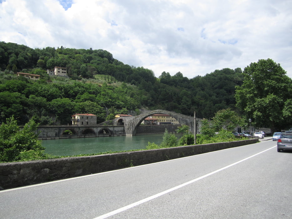
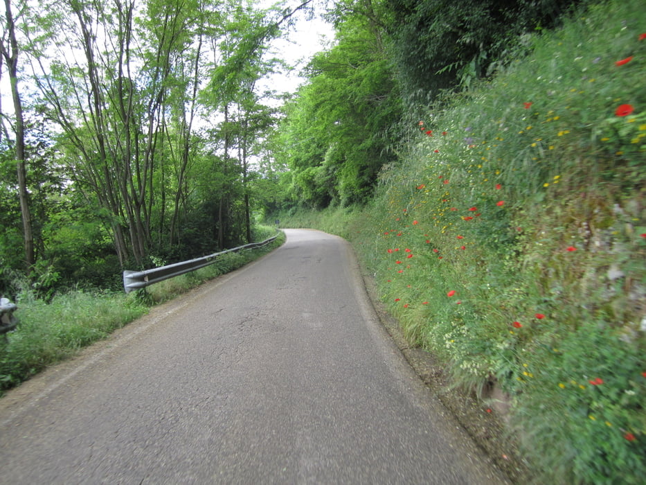
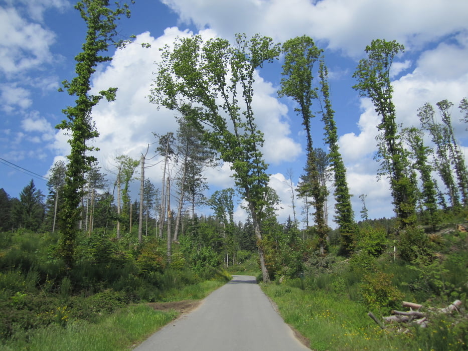
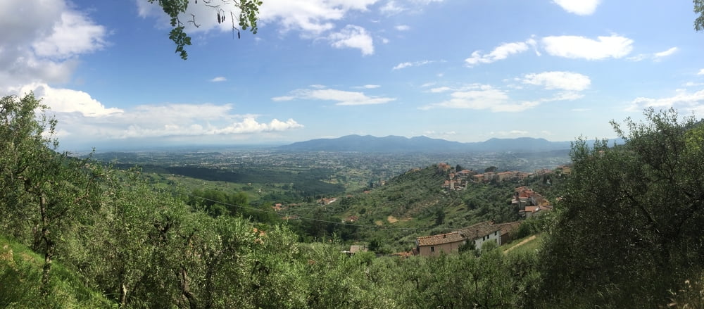
Die Rundtour startet und endet in Matraia auch ca. 300hm. Zunächst geht es flott runter fast schon auf Meereshöhe nach Marlia. Dann fährt man auf der SS12 am Ostufer der Serchio nach Norden Wegen der SS12Var auf der anderen Fluss-Seite ist der Verkehr gut erträglich. Wichtig ist, dass man hinter Sesto auf der SS12 bleibt (links halten), um weiter mit wenig Verkehr nach Piaggione zu gelangen. Die eindrucksvolle Teufelsbrücke Ponte della Maddalena läßt man links liegen. Ein paar Orte später gelangt man nach Bagni di Lucca, wo der Anstieg nach Benabbio beginnt. Nachdem man 750hm erreicht hat, geht's über Boveglio und das schön im Hang gelegene Colgnora mit Geschwindigkeit wieder herunter in das Bachtal Pescia di Collodi. Die Abfahrt endet jäh mit dem steilen, anstrengenden Anstieg nach Villa Basilica. Auf einer kleinen, kaum befahrenen Straße klettert man den Monte Maggine hoch bis auf 900hm im Ort Pizzorne. Nach ein paar Metern unbefestigte Straße auf dem Plateau hat man einen schönen Ausblick ins Tal. Die 600hm zurück nach Matria machen Spaß und fordern die Bremsen...
Tour gallery
Tour map and elevation profile
Minimum height 45 m
Maximum height 884 m
More about the tour author

|
britger |
Comments

Start/Ziel ist Matraia auf 300hm.
GPS tracks
Trackpoints-
GPX / Garmin Map Source (gpx) download
-
TCX / Garmin Training Center® (tcx) download
-
CRS / Garmin Training Center® (crs) download
-
Google Earth (kml) download
-
G7ToWin (g7t) download
-
TTQV (trk) download
-
Overlay (ovl) download
-
Fugawi (txt) download
-
Kompass (DAV) Track (tk) download
-
Track data sheet (pdf) download
-
Original file of the author (gpx) download
More about the tour author
|
|
britger |
Add to my favorites
Remove from my favorites
Edit tags
Open track
My score
Rate