
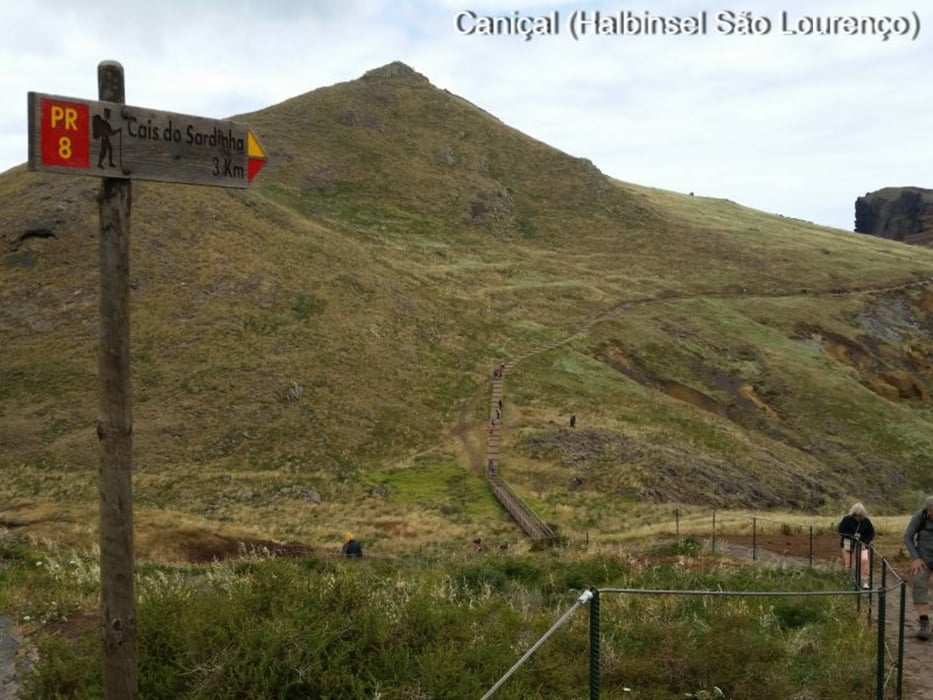

Wanderung in Caniçal auf der Halbinsel São Lourenço
7 km - 2,5 h mit Pausen - 350 Hm
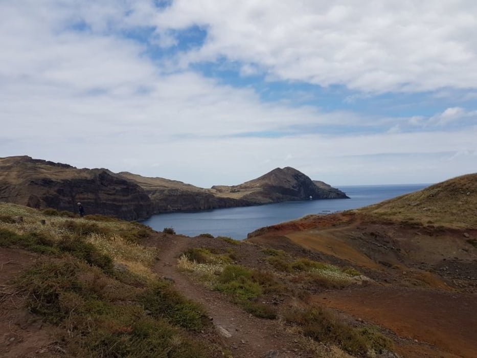
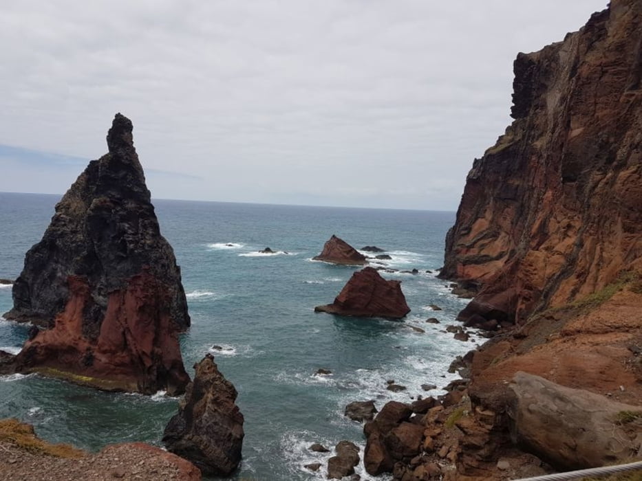
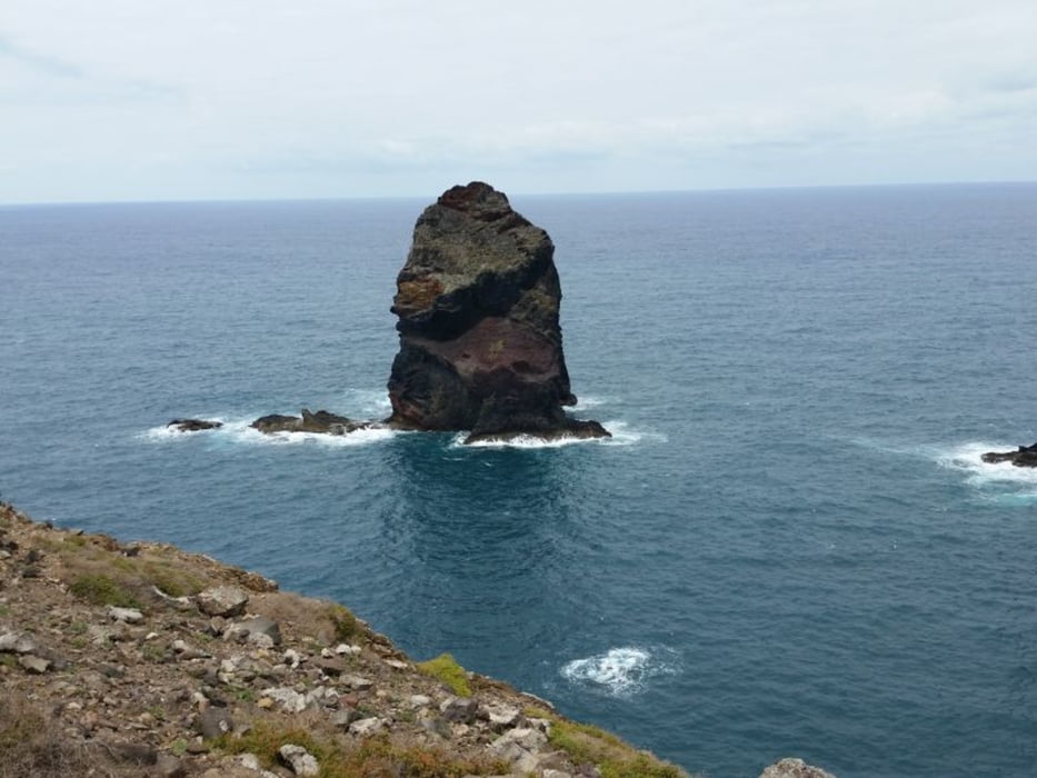
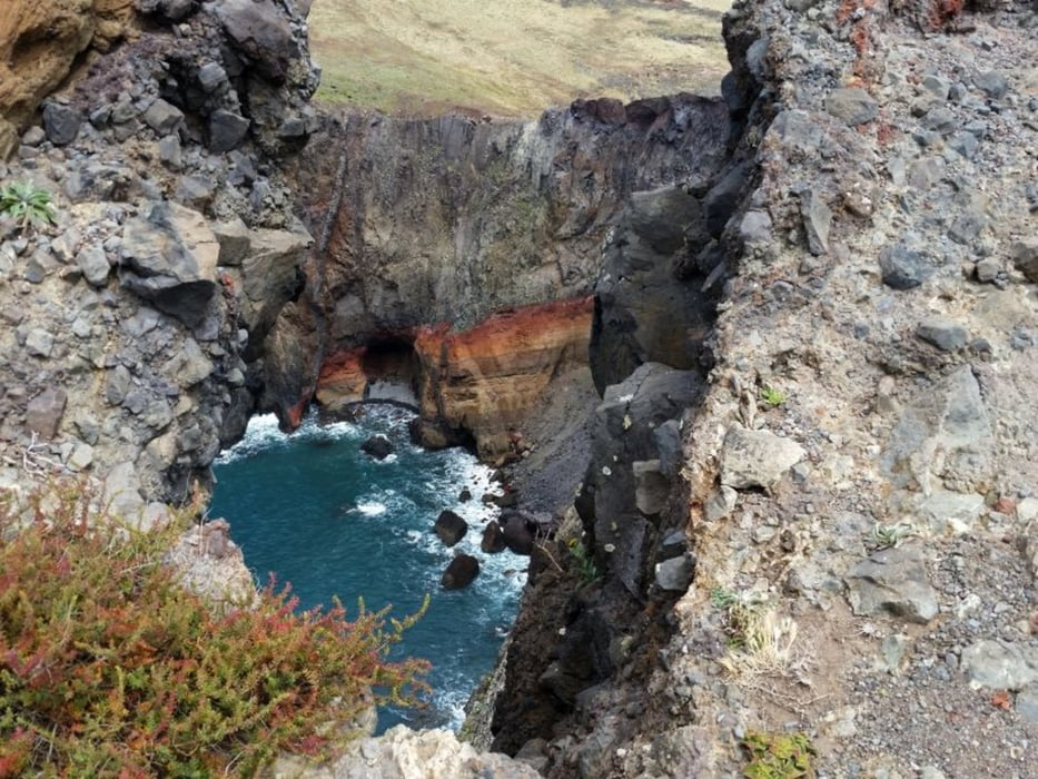
Das ist wohl die Wanderung schlechthin auf Madeira. Einfach nur sensationell.
Leider kein Geheimtipp und somit sehr viel Wanderer unterwegs. Das merkt man schon am Parkplatz.
Aber egal, was einem hier für die Augen geboten wird ist einfach nur sensationell.
Gutes Wetter vorausgesetzt.
Wind ist hier aber immer.
Fazit:
- unbedingt machen, auch wenn hier immer viel Betrieb ist
Tour gallery
Tour map and elevation profile
Minimum height 1 m
Maximum height 109 m
More about the tour author
|
|
Stummi |
Comments

GPS tracks
Trackpoints-
GPX / Garmin Map Source (gpx) download
-
TCX / Garmin Training Center® (tcx) download
-
CRS / Garmin Training Center® (crs) download
-
Google Earth (kml) download
-
G7ToWin (g7t) download
-
TTQV (trk) download
-
Overlay (ovl) download
-
Fugawi (txt) download
-
Kompass (DAV) Track (tk) download
-
Track data sheet (pdf) download
-
Original file of the author (gpx) download
More about the tour author
|
|
Stummi |
Add to my favorites
Remove from my favorites
Edit tags
Open track
My score
Rate