Login

Forgotten password?

Cookies have to be accepted!
Your browser's cookie functionality is disabled. Please enable this functionality.

Not a member yet?

Register now
Login

Available for registred users only

Log in to use this feature.

Forgotten password?

Cookies have to be accepted!
Your browser's cookie functionality is disabled. Please enable this functionality.

Not a member yet?

Register now
Filter
Categories
Advanced filters
  • Distance (km)
  • Height
Save filters Reset filter

TrackRank

QRCode

Technical data

Distance10,7 km Height430 m Way down430 m Duration03:00 h:m Date21.05.2018
Scores Author Landscape Fun factor Fitness Technique

Statistics

266 Views Scores 59 Downloads Average
Rate
  • Track data sheet
  • Directions
  • Downloads

Wanderung vom alten Caniçal-Tunnel die Levada bis zur Snackbar O Jacarè

11 km - 3h

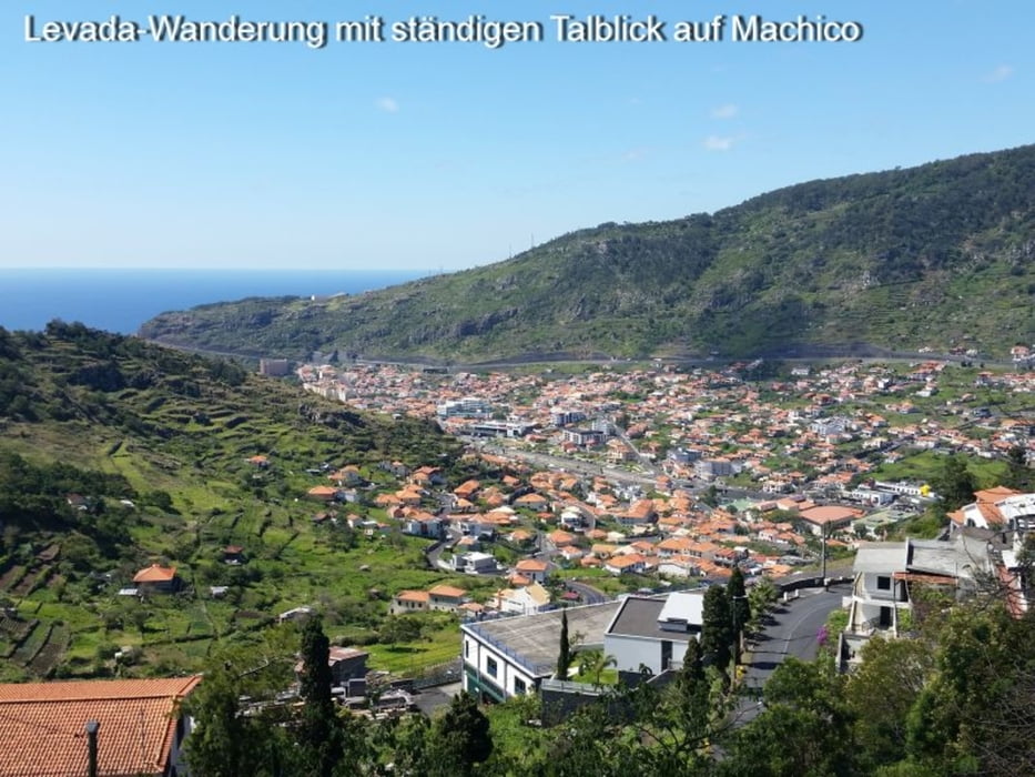
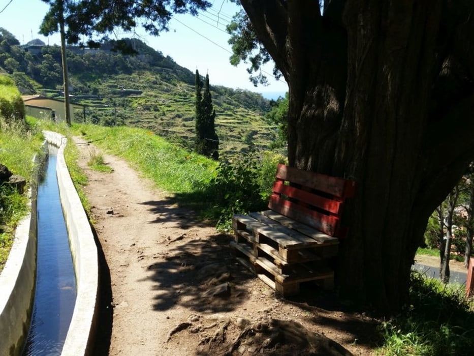
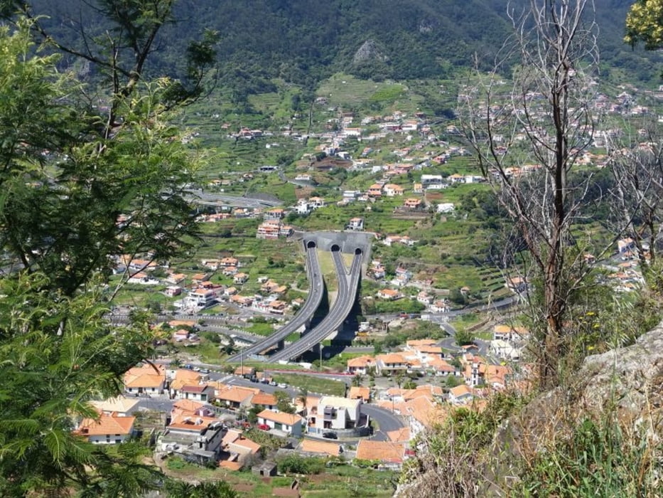
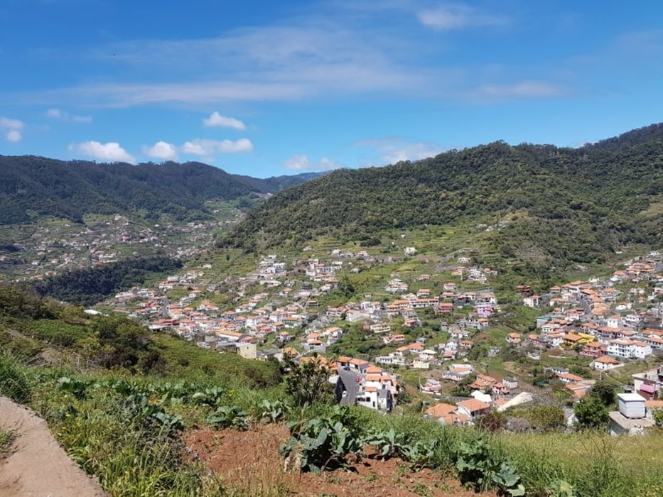
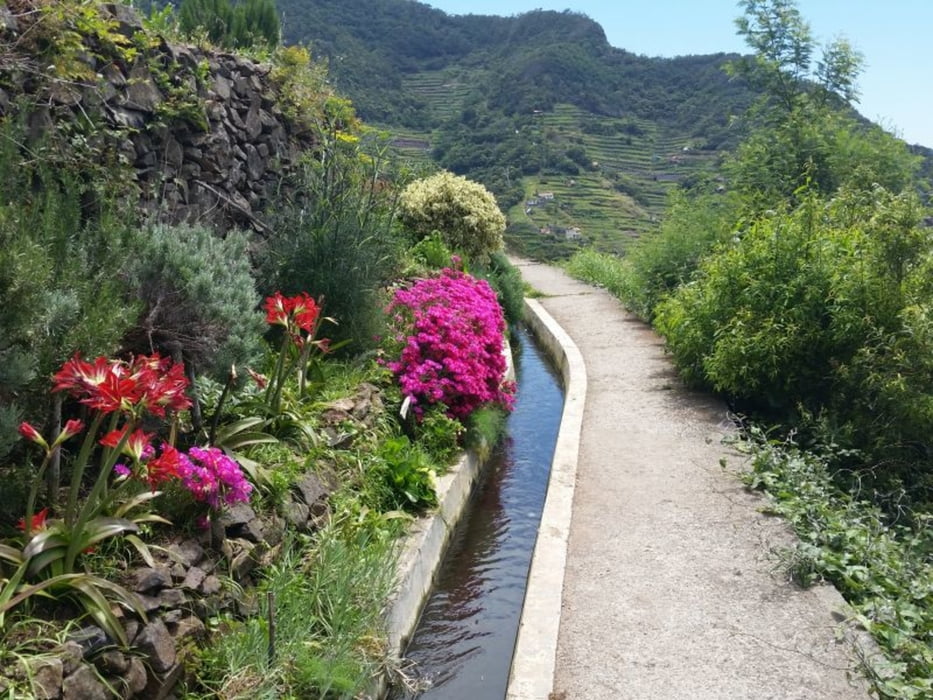
Einfache Levadawanderung mit tollen Blicken uns Aussichten auf das Tal nach Machico
Wendepunkt Snackbar O Jacarè. Eine Kaffee und Kuchen und dann drehen wir um.

Fazit:
- eine Schmaus für die Augen

Tour gallery

Tour map and elevation profile

  • Open Street Map
  • Google
Minimum height 195 m Maximum height 256 m Detailed view

More about the tour author

Stummi
Member since 2009

Send private message

Comments

GPS tracks

Trackpoints
  • GPX / Garmin Map Source (gpx) download
  • TCX / Garmin Training Center® (tcx) download
  • CRS / Garmin Training Center® (crs) download
  • Google Earth (kml) download
  • G7ToWin (g7t) download
  • TTQV (trk) download
  • Overlay (ovl) download
  • Fugawi (txt) download
  • Kompass (DAV) Track (tk) download
  • Track data sheet (pdf) download
  • Original file of the author (gpx) download

More about the tour author

Stummi
Member since 2009

Send private message
Share track
Add to my favorites
Remove from my favorites
Edit tags
My score
Rate
Track: Levadawanderung
Type: Hiking
Distance: 10,7 km
Evaluated on:
Duration:
Day(s)
Hour(s)
Minute(s)
Score: Landscape Fun factor Fitness Technique