Login

Forgot your login?

Cookies have to be accepted!
Your browser's cookie functionality is disabled. Please enable this functionality.

Not a member yet?

Register now
Login

Available for registred users only

Log in to use this feature.

Forgot your login?

Cookies have to be accepted!
Your browser's cookie functionality is disabled. Please enable this functionality.

Not a member yet?

Register now
Filter
Categories
Advanced filters
  • Distance (km)
  • Height
Save filters Reset filter

TrackRank

QRCode

Technical data

Distance67,8 km Height529 m Way down519 m Duration00:00 h:m Date08.06.2018
Scores Author Landscape Fun factor Fitness Technique

Statistics

465 Views Scores 87 Downloads Average
Rate
  • Track data sheet
  • Directions
  • Downloads

Rennrad Stephanskirchen Seeon (Baierbach Simssee) 68 Km
 

Rennradtour auf wenig befahrenen Nebenstraßen.

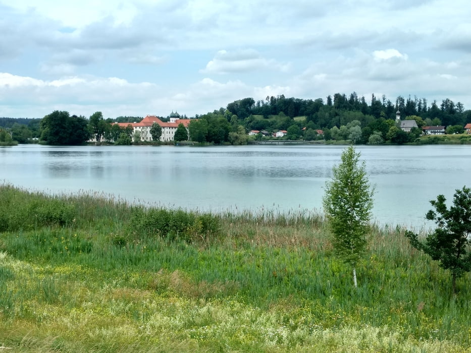
Vom Parkplatz Baierbach am Simssee (Stephanskirchen) geht es Richtung Rimsting, weiter über Eggstätt nach Seeon zum Klostersee ( Bademöglichkeit und Kiosk ).

Über Oberbrunn ,Gachensolden, Hemhof zurück.

In Baierbach ist ein Badeplatz mit Kiosk zur Erholung nach der Tour.


Tour gallery

Tour map and elevation profile

  • Open Street Map
  • Google
Minimum height 523 m Maximum height 618 m Detailed view

More about the tour author

Triathlet53
Member since 2016

Send private message

Comments

GPS tracks

Trackpoints
  • GPX / Garmin Map Source (gpx) download
  • TCX / Garmin Training Center® (tcx) download
  • CRS / Garmin Training Center® (crs) download
  • Google Earth (kml) download
  • G7ToWin (g7t) download
  • TTQV (trk) download
  • Overlay (ovl) download
  • Fugawi (txt) download
  • Kompass (DAV) Track (tk) download
  • Track data sheet (pdf) download
  • Original file of the author (gpx) download

More about the tour author

Triathlet53
Member since 2016

Send private message
Share track
Add to my favorites
Remove from my favorites
Edit tags
My score
Rate
Track: Vom Simssee nach Seeon zum Klostersee und zurück
Type: Road biking
Distance: 67,8 km
Evaluated on:
Duration:
Day(s)
Hour(s)
Minute(s)
Score: Landscape Fun factor Fitness Technique