


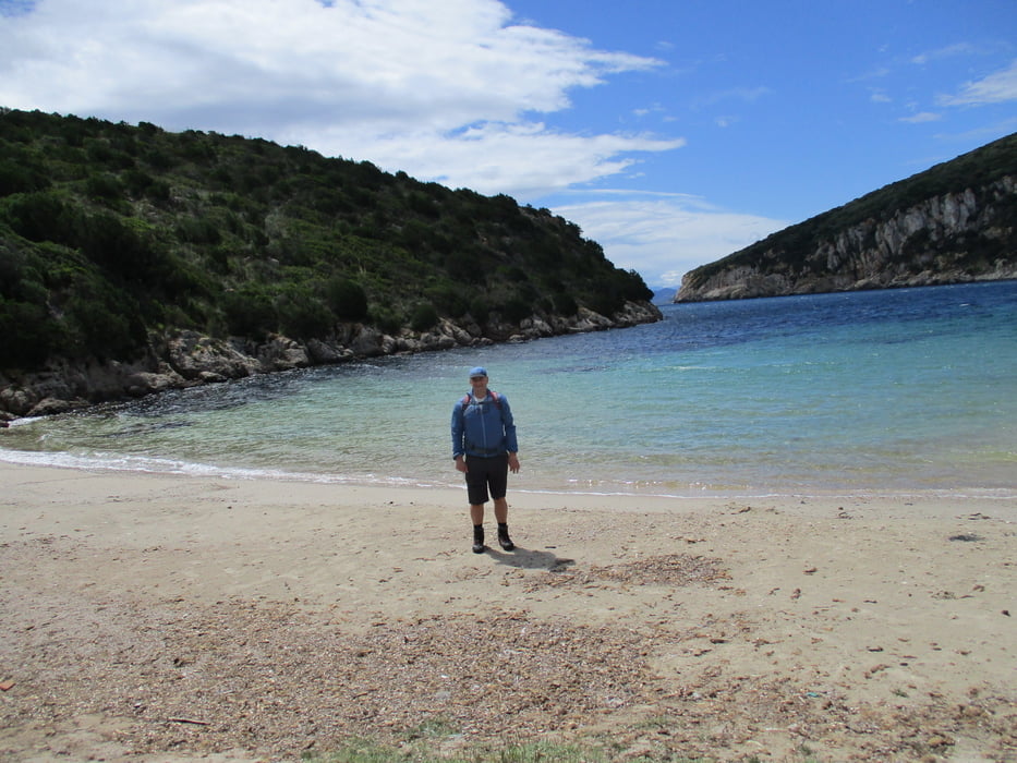
Wir wandern entlang der Küstenstraße vorbei am Rathaus (auch hier Parkmöglichkeit) zum Bahnhof und weiter entlang der Küste zur Bucht Cala Moresca (1 Std.). Anschließend der Schotterpiste in vielen Kehren hinauf zum alten Leuchtturm Punta Semaforo (1 Std.).
Zurück sind wir bei der ersten markanten Linkskurve auf einen alten Weg gestoßen, der uns ziemlich direkt hinunter zu einem von oben sichtbaren Pfad bringt. Teils weglos, teils mit Steinmännchen markiert sucht man sich die bequemste Linie hinunter und erreicht in wenigen Minuten den Sattel (50m Min.). Dieser Weg stellt hohe Anforderung an die Orientierung und soll nur von erfahrenen Wanderen begangen werden!
Alternativ wieder hinunter zur Cala Moresca und von dort zum Sattel. Von hier ist auch die Besteigung des Rocca Ruja möglich. Ansonsten den rechten Weg wählen und mit schönen Blicken zurück nach Golfo Aranci (1 Std.)
Tour gallery

Tour map and elevation profile
Minimum height -35 m
Maximum height 347 m
More about the tour author

|
JoHangler |
Comments

Von Olbia auf der Straße 82 nach Golfo Aranci
GPS tracks
Trackpoints-
GPX / Garmin Map Source (gpx) download
-
TCX / Garmin Training Center® (tcx) download
-
CRS / Garmin Training Center® (crs) download
-
Google Earth (kml) download
-
G7ToWin (g7t) download
-
TTQV (trk) download
-
Overlay (ovl) download
-
Fugawi (txt) download
-
Kompass (DAV) Track (tk) download
-
Track data sheet (pdf) download
-
Original file of the author (gpx) download
More about the tour author
|
|
JoHangler |
Add to my favorites
Remove from my favorites
Edit tags
Open track
My score
Rate