Login

Forgot your login?

Cookies have to be accepted!
Your browser's cookie functionality is disabled. Please enable this functionality.

Not a member yet?

Register now
Login

Available for registred users only

Log in to use this feature.

Forgot your login?

Cookies have to be accepted!
Your browser's cookie functionality is disabled. Please enable this functionality.

Not a member yet?

Register now
Filter
Categories
Advanced filters
  • Distance (km)
  • Height
Save filters Reset filter

TrackRank

QRCode

Technical data

Distance32,4 km Height1435 m Way down1436 m Duration03:45 h:m Date08.06.2018
Scores Author Landscape Fun factor Fitness Technique

Statistics

326 Views Scores 53 Downloads Average
Rate
  • Track data sheet
  • Directions
  • Downloads

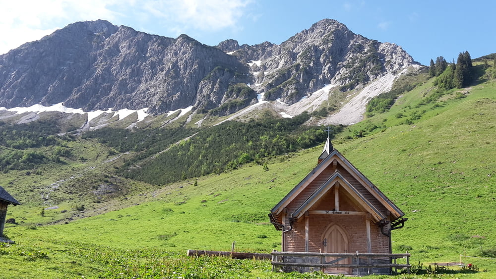
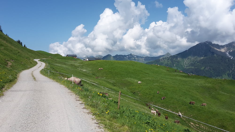
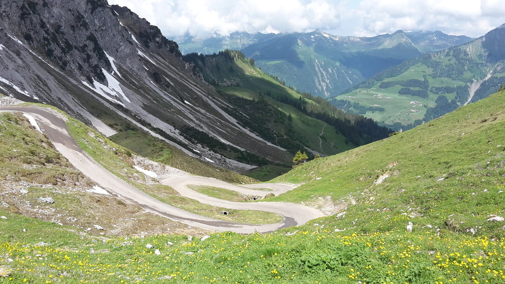
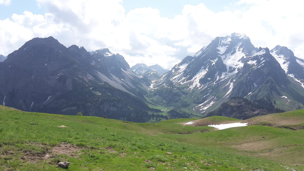
Rundtour  Marul, Sterisalpe, Laguzalpe und wieder zurück.

Auffahrten sind meist steil aber machbar und der Ausblick ist super

kürzere Variante zu

Tour #163884: Laguzalpe

Tour gallery

Tour map and elevation profile

  • Open Street Map
  • Google
Minimum height 949 m Maximum height 1843 m Detailed view

More about the tour author

eder_m
Member since 2008

Send private message

Comments

GPS tracks

Trackpoints
  • GPX / Garmin Map Source (gpx) download
  • TCX / Garmin Training Center® (tcx) download
  • CRS / Garmin Training Center® (crs) download
  • Google Earth (kml) download
  • G7ToWin (g7t) download
  • TTQV (trk) download
  • Overlay (ovl) download
  • Fugawi (txt) download
  • Kompass (DAV) Track (tk) download
  • Track data sheet (pdf) download
  • Original file of the author (gpx) download

More about the tour author

eder_m
Member since 2008

Send private message
Share track
Add to my favorites
Remove from my favorites
Edit tags
My score
Rate
Track: Marul Laguzalpe Marul
Type: Mountain bike
Distance: 32,4 km
Evaluated on:
Duration:
Day(s)
Hour(s)
Minute(s)
Score: Landscape Fun factor Fitness Technique