


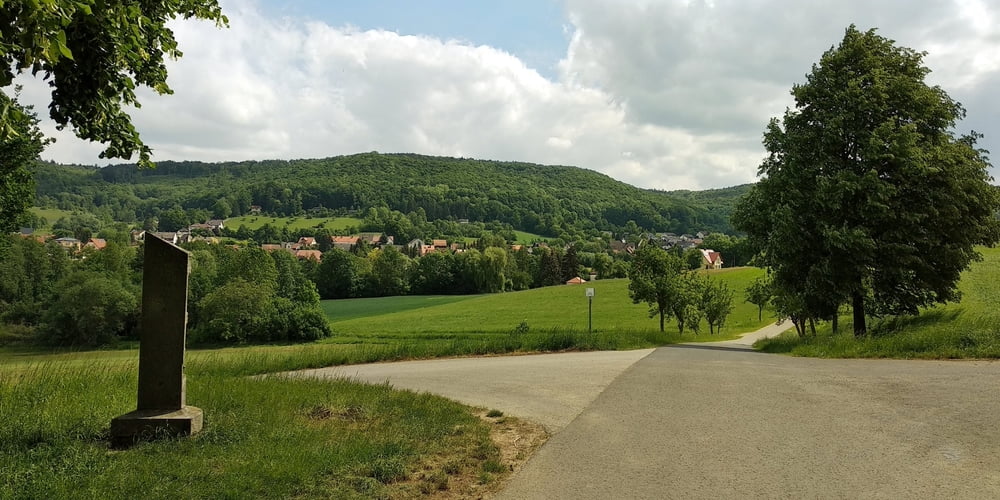
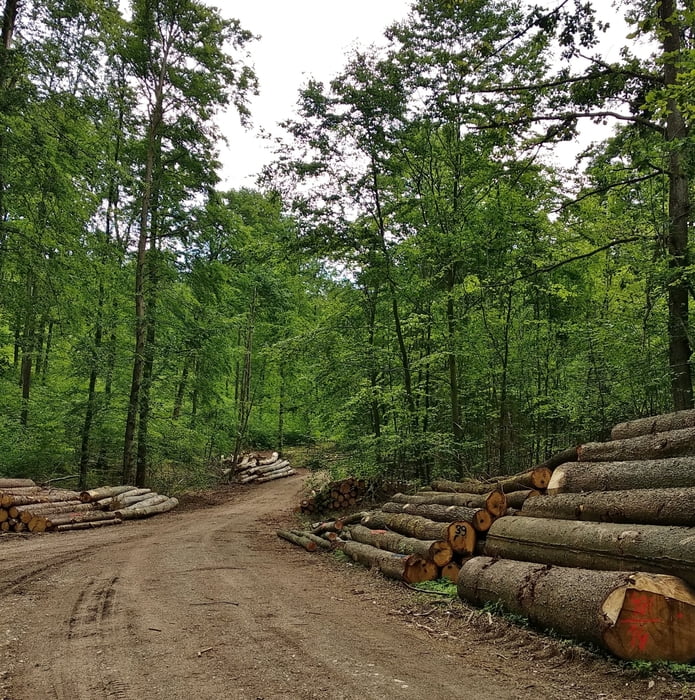
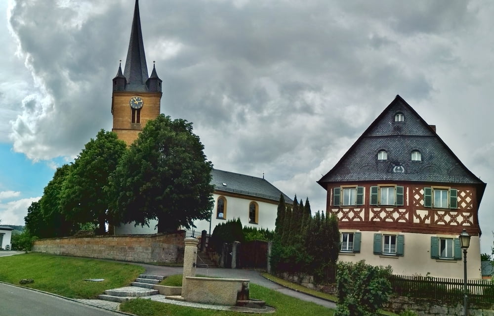
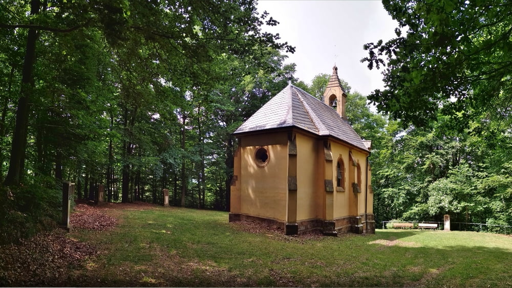
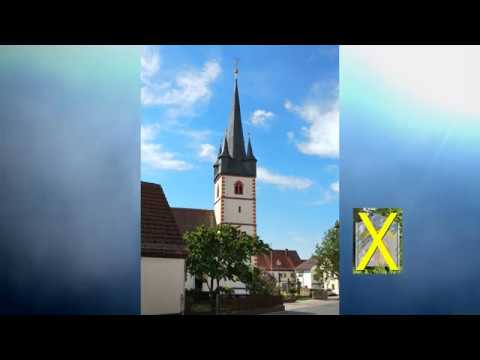
Eine gemütliche Wanderung mit wenig Höhenmetern. Vom Parkplatz an der Kirche vorbei, schräg auf Sträßchen Richtung Roßdorf am Forst. Vor dem Ort an Brücke rechts ab auf Feldweg, an der Höhe nach links über Wiese einen Abstecher zum Bierkeller. Nach Osten zum Sträßchen, kurz rechts und dann links auf Feldweg eben dahin nach Leesten. An alter Mühle vorbei weiter nach Mistendorf. Nach links, dann rechts aufwärts zur Kirche. Weiter kurz bergan, links und rechts aus dem Ort heraus. Weiter im schönen Tal nach Zeegendorf. An Querstraße rechts aufwärts und durch herrlichen Wald zur Wallfahrtskirche Steinknock. Zurück, rechts im schönen Hochwald weiter. Aus dem Wald heraus nach Wernsdorf, an Straße links ab nach Amlingstadt zurück.
Tour gallery
Tour map and elevation profile
Minimum height 278 m
Maximum height 448 m
More about the tour author
|
|
heinz-57 |
Comments

Von Bamberg oder Forchheim kommend in Strullendorf nach Amlingstadt. Unterhalb der Kirche Parkplatz
GPS tracks
Trackpoints-
GPX / Garmin Map Source (gpx) download
-
TCX / Garmin Training Center® (tcx) download
-
CRS / Garmin Training Center® (crs) download
-
Google Earth (kml) download
-
G7ToWin (g7t) download
-
TTQV (trk) download
-
Overlay (ovl) download
-
Fugawi (txt) download
-
Kompass (DAV) Track (tk) download
-
Track data sheet (pdf) download
-
Original file of the author (gpx) download
More about the tour author
|
|
heinz-57 |
Add to my favorites
Remove from my favorites
Edit tags
Open track
My score
Rate