


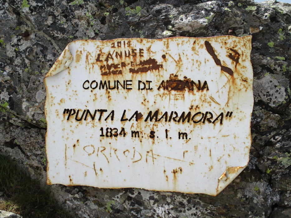
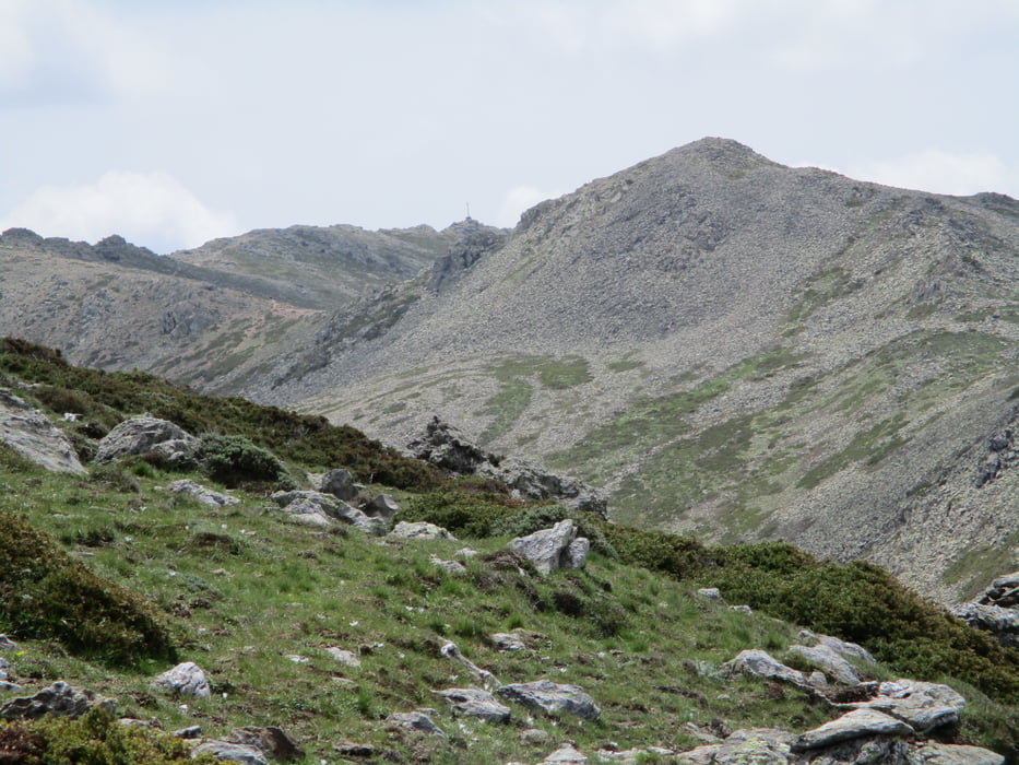
Vorbei am Rifugio auf dem zuerst auf dem Karrenweg und dann auf dem Wanderweg zum Joch Arcu Artilai.Hier schräg links bergan zum Gipfel der Bruncu Spina (1 Std.). Auf dem Kammweg in leichtem Auf und Ab; die Punta Paulinu kann weglos mitgenommen werden oder rechts vorbei hinunter zum Joch Arcu Gennargentu (1 Std.). In Gehrichtung weiter durch Blockgelände und eine kurze Steilstufe zum Grat und zum bereits sichtbaren Kreuz der Punta La Marmora (1/2 Std.).
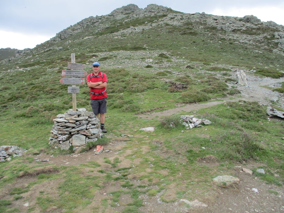
Zurück zum Joch und hier links hinunter vorbei am verfallenen Rifugio La Marmora hinauf zum Arcu Artilai und zurück zum Parkplatz (2 1/2 Std.).
Tour gallery
Tour map and elevation profile
Minimum height 1495 m
Maximum height 1839 m
More about the tour author

|
JoHangler |
Comments

GPS tracks
Trackpoints-
GPX / Garmin Map Source (gpx) download
-
TCX / Garmin Training Center® (tcx) download
-
CRS / Garmin Training Center® (crs) download
-
Google Earth (kml) download
-
G7ToWin (g7t) download
-
TTQV (trk) download
-
Overlay (ovl) download
-
Fugawi (txt) download
-
Kompass (DAV) Track (tk) download
-
Track data sheet (pdf) download
-
Original file of the author (gpx) download
More about the tour author
|
|
JoHangler |
Add to my favorites
Remove from my favorites
Edit tags
Open track
My score
Rate