


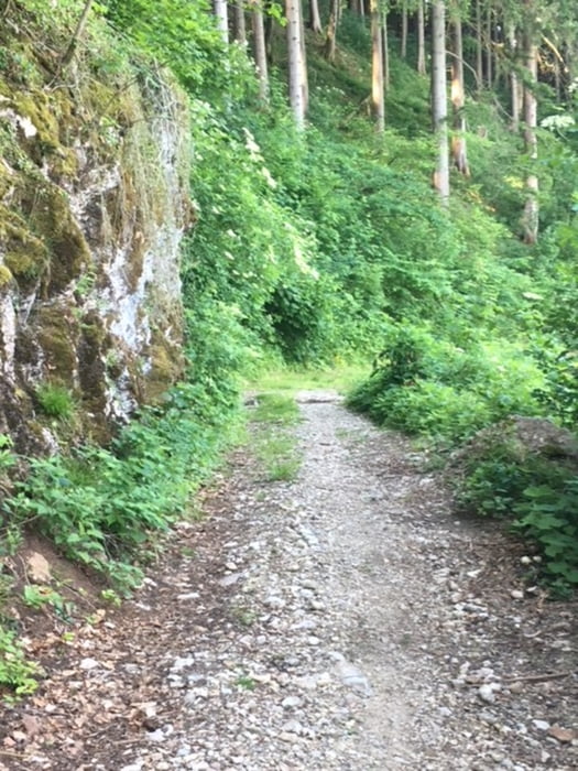
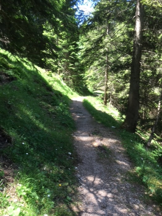
E-MTB-Tour vom Wanderparkplatz in Marquartstein über Waldweg, Forststraße, kurze Schiebestrecke, weiter auf Forstweg Richtung Vorderalm, Brachtalm. Kurz unterhalb der Brachtalm dann Einstieg in den Singletrail zur Staudacher Alm und weiter auf dem Trail Richtung Schnappenkirche. Ab dieser geht es dann auf einem Forstweg zurück zum Ausgangspunkt.
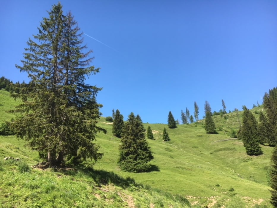
Sehr schöne Ausblicke "ins Land", auf den Chiemsee, zum Hochfelln ... und tolle Singletrail-Abfahrten!
Viel Spaß!
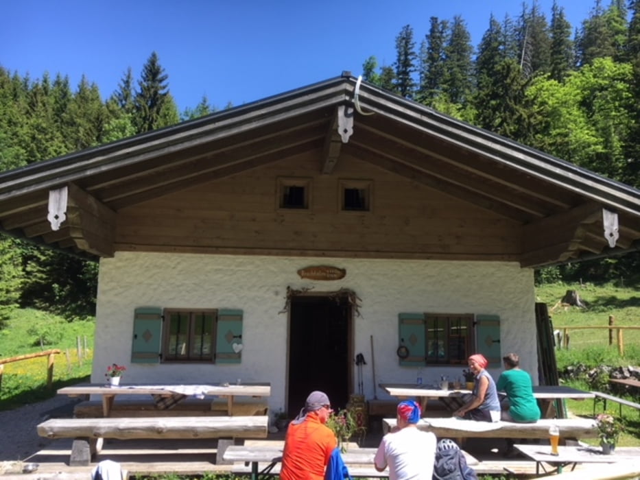
Tour gallery
Tour map and elevation profile
Minimum height 554 m
Maximum height 1197 m
More about the tour author
|
|
MTBiker55 |
Comments

GPS tracks
Trackpoints-
GPX / Garmin Map Source (gpx) download
-
TCX / Garmin Training Center® (tcx) download
-
CRS / Garmin Training Center® (crs) download
-
Google Earth (kml) download
-
G7ToWin (g7t) download
-
TTQV (trk) download
-
Overlay (ovl) download
-
Fugawi (txt) download
-
Kompass (DAV) Track (tk) download
-
Track data sheet (pdf) download
-
Original file of the author (gpx) download
More about the tour author
|
|
MTBiker55 |
Add to my favorites
Remove from my favorites
Edit tags
Open track
My score
Rate