


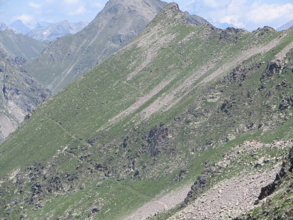
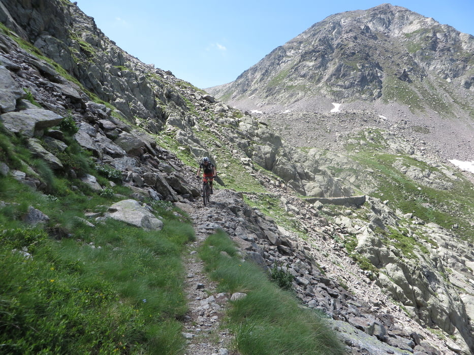
Zuerst angenehmes einrollen auf Teerweg zum Rifugion Dahu. Kurz vor der Hütte links empor zu einem herrlichen See und dann weiter über Kriegspfad und zahlreichen Kehren zur französichen Grenze. Das erste Col kann mit wenigen Metern schieben erreicht werden. Der Übergang zum zweiten Col sieht uferlos aus, läßt sich jedoch weitgehend fahren. Die Gesamtschiebzeit beträgt etwa 15 min. Anschließend nochmals 5 min bergab schieben und dann nur noch genießen. Die Einkehr beim Rifugion Dahu lohnt sich, es ist ein reines Idyl.
Tour gallery
Tour map and elevation profile
Minimum height 1303 m
Maximum height 2579 m
More about the tour author

|
Klaus112 |
Comments

Über Cuneo ins Sturatal nach Vinadio. Etwa zwei Kilometer nach Vinadio links empor nach Bagni di Vinadio. Dort großer Parkplatz.
GPS tracks
Trackpoints-
GPX / Garmin Map Source (gpx) download
-
TCX / Garmin Training Center® (tcx) download
-
CRS / Garmin Training Center® (crs) download
-
Google Earth (kml) download
-
G7ToWin (g7t) download
-
TTQV (trk) download
-
Overlay (ovl) download
-
Fugawi (txt) download
-
Kompass (DAV) Track (tk) download
-
Track data sheet (pdf) download
-
Original file of the author (gpx) download
More about the tour author
|
|
Klaus112 |
Add to my favorites
Remove from my favorites
Edit tags
Open track
My score
Rate