


Serrada-Terragnolo-Rovereto-Morì-Bretonico-Festa-
Rif Campei-Sella Varagna (1711)-Torbole
Gleich mal ca 20 km auf der Straße runter nach Rovereto. Dann kommt der einzige große Anstieg des Tages. Zunächst auf der Sp bis Bretonico, dann geht’s auf weniger befahrenen, kleineren Straßen bis Festa.
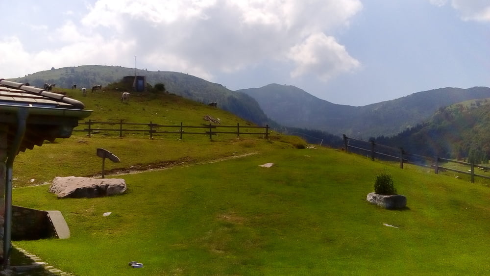
Da noch mal Wasser nachgefüllt, bevor es auf Schotter Richtung Rif. Campei geht. Anfangs flockig zu fahren bis die betonierten Rampen zu steil zum Fahren werden: bis 46%!!! Da war das Schieben etwas schweißtreibend!
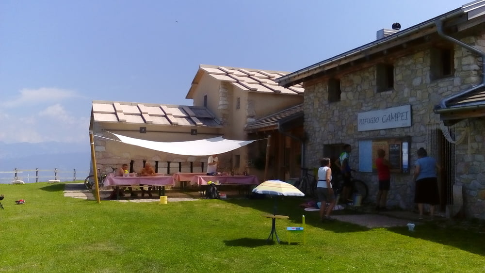
Im wunderbaren Rifugio Campei sind wir eingekehrt. Anscgließend geht’s noch mal 250hm hinauf, das meiste gut fahrbar, mit teils guten trails.
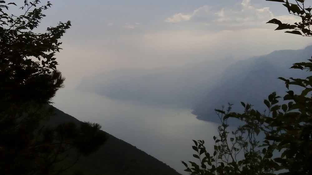
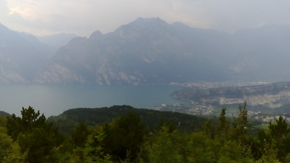
Vom höchsten Punkt Sella Varagna (1711m) geht zunächst eine Schotterstraße und bald eine herrliche Teerstraße runter bis Torbole (65m). Unterwegs gibt’s einige Fotoausblicke auf den See!
Quartier Hotel Geier NF 50 €, sehr gut.
Tour gallery
Tour map and elevation profile
Minimum height 161 m
Maximum height 1703 m
More about the tour author
|
|
mitter |
Comments

Start in Serrada beim Albergo Bellavista.
GPS tracks
Trackpoints-
GPX / Garmin Map Source (gpx) download
-
TCX / Garmin Training Center® (tcx) download
-
CRS / Garmin Training Center® (crs) download
-
Google Earth (kml) download
-
G7ToWin (g7t) download
-
TTQV (trk) download
-
Overlay (ovl) download
-
Fugawi (txt) download
-
Kompass (DAV) Track (tk) download
-
Track data sheet (pdf) download
-
Original file of the author (gpx) download
More about the tour author
|
|
mitter |
Add to my favorites
Remove from my favorites
Edit tags
Open track
My score
Rate