


Grosio-Fusino-Rif. Eita-Passo Verva-Val Viola-Arnoga-
Torri Fraele-Rif. Monte Scale Lago di Cancano
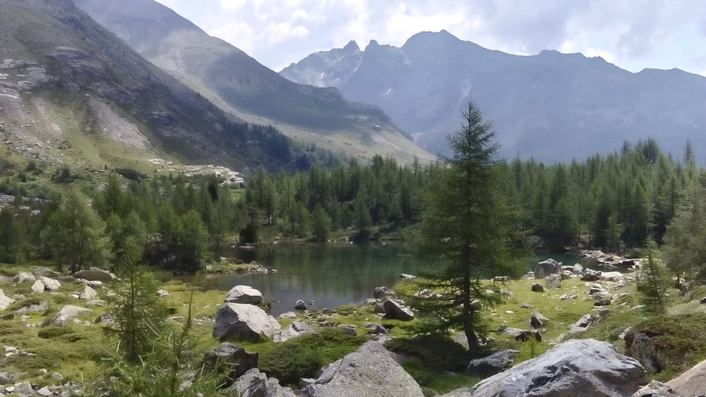
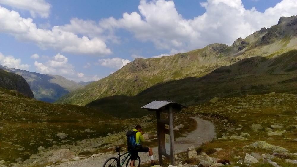
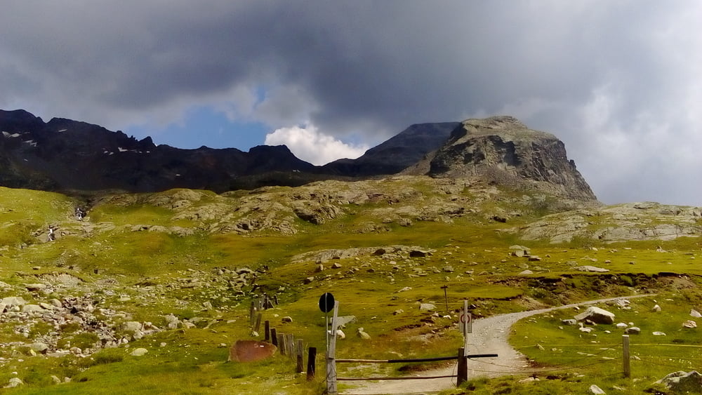
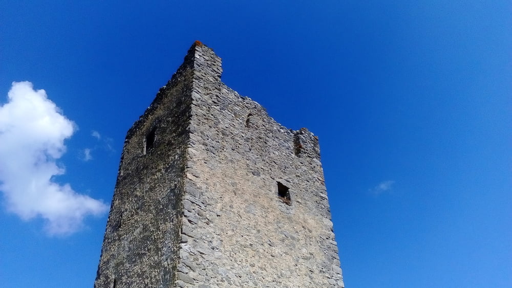
Die ersten 150hm sehr steil, dann Straße angenehm ansteigend bis Rif. Eita. Nette deutsche Biker getroffen. Ab da Schotter, ca halbe Stunde Schiebung bis zum Passo Verva (2301m). Herrliche Gegend! Abfahrt ins Viola tal gut fahrbar auf Schotter. Hinüber nach Arnoga wunderbarer Waldtrail und dann weiter auf Schotterstraße bis kurz unter den Torri di Fraele auf ehemaliger Bahntrasse: ca 12 km komplett eben mit herrlichen Ausblicken ins Viola Bormina Tal und auf den Gletscher Piazzi. Zu den Torri hinauf noch ca 100hmund dann zum Rifugio am Lago di Cancano.
Die ersten 150hm sehr steil, dann Straße angenehm ansteigend bis Rif. Eita. Nette deutsche Biker getroffen. Ab da Schotter, ca halbe Stunde Schiebung bis zum Passo Verva (2301m). Herrliche Gegend! Abfahrt ins Viola tal gut fahrbar auf Schotter. Hinüber nach Arnoga wunderbarer Waldtrail und dann weiter auf Schotterstraße bis kurz unter den Torri di Fraele auf ehemaliger Bahntrasse: ca 12 km komplett eben mit herrlichen Ausblicken ins Viola Bormina Tal und auf den Gletscher Piazzi. Zu den Torri hinauf noch ca 100hmund dann zum Rifugio am Lago di Cancano.
Quartier Rif. Monte Scale HP 55 €, gut, Essen sehr gut!
Tour gallery
Tour map and elevation profile
Minimum height 674 m
Maximum height 2279 m
More about the tour author
|
|
mitter |
Comments

Start in Grosio B&B Settimo cielo.
GPS tracks
Trackpoints-
GPX / Garmin Map Source (gpx) download
-
TCX / Garmin Training Center® (tcx) download
-
CRS / Garmin Training Center® (crs) download
-
Google Earth (kml) download
-
G7ToWin (g7t) download
-
TTQV (trk) download
-
Overlay (ovl) download
-
Fugawi (txt) download
-
Kompass (DAV) Track (tk) download
-
Track data sheet (pdf) download
-
Original file of the author (gpx) download
More about the tour author
|
|
mitter |
Add to my favorites
Remove from my favorites
Edit tags
Open track
My score
Rate