Login

Forgot your login?

Cookies have to be accepted!
Your browser's cookie functionality is disabled. Please enable this functionality.

Not a member yet?

Register now
Login

Available for registred users only

Log in to use this feature.

Forgot your login?

Cookies have to be accepted!
Your browser's cookie functionality is disabled. Please enable this functionality.

Not a member yet?

Register now
Filter
Categories
Advanced filters
  • Distance (km)
  • Height
Save filters Reset filter

TrackRank

QRCode

Technical data

Distance15,0 km Height217 m Way down217 m Duration01:05 h:m Date20.08.2018
Scores Author Landscape Fun factor Fitness Technique

Statistics

430 Views Scores 38 Downloads Average
Rate
  • Track data sheet
  • Directions
  • Downloads
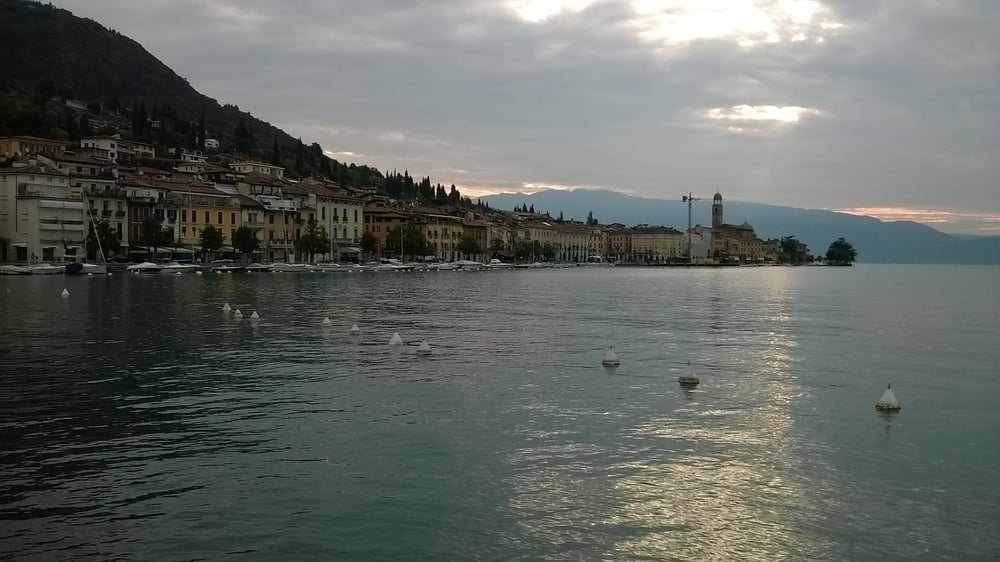
Die Strecke malerisch entlang der Bucht von Salo. Damit ich den steilen Anstieg von Porto Portese nach Portese nicht nehmen musste, war ich auf dem Rückweg der Straße gefolgt, was nicht ganz so „romatisch“ war, aber bei der Wärme angenehmer zu laufen war.

Tour gallery

Tour map and elevation profile

  • Open Street Map
  • Google
Minimum height 56 m Maximum height 121 m Detailed view

More about the tour author

quik-mic
Member since 2009

Send private message

Comments

San Felice und ab dafür.

GPS tracks

Trackpoints
  • GPX / Garmin Map Source (gpx) download
  • TCX / Garmin Training Center® (tcx) download
  • CRS / Garmin Training Center® (crs) download
  • Google Earth (kml) download
  • G7ToWin (g7t) download
  • TTQV (trk) download
  • Overlay (ovl) download
  • Fugawi (txt) download
  • Kompass (DAV) Track (tk) download
  • Track data sheet (pdf) download
  • Original file of the author (gpx) download

More about the tour author

quik-mic
Member since 2009

Send private message
Share track
Add to my favorites
Remove from my favorites
Edit tags
My score
Rate
Track: Gardasee San Felice nach Salo
Type: Running
Distance: 15,0 km
Evaluated on:
Duration:
Day(s)
Hour(s)
Minute(s)
Score: Landscape Fun factor Fitness Technique