


Tourbeschreibung:
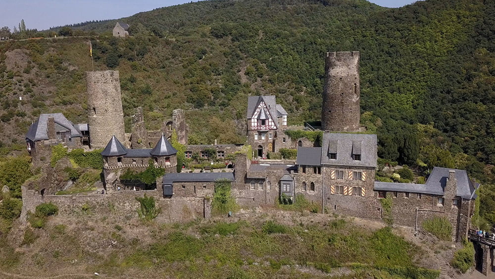
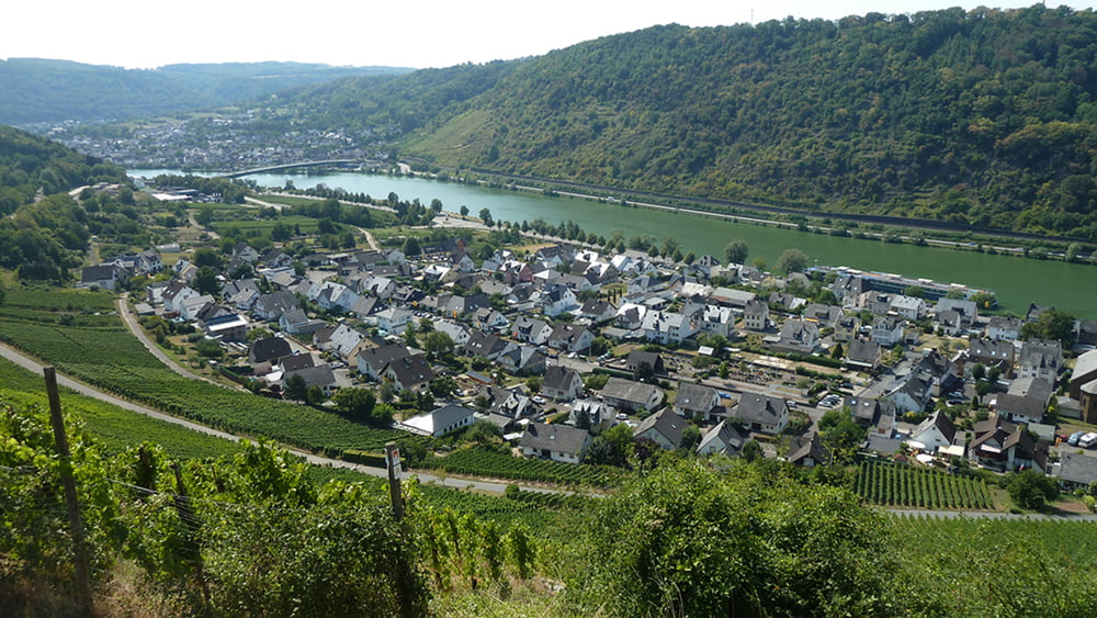
Die ersten Meter haben es bereits in sich. Aud dem Moselort Oberfell geht es steil hinauf auf ein Plateau. Wir tauchen wieder in den Wald ein und gehen weiter bergan zum Dickenberg. Unser Weg führt nun einige Km am Waldrand vorbei bis wir Die K71 queren und anschließend dem Alkenbach ins Tal folgen. Kurz vor Alken führt der Traumpfad bergan zur Burg Thurant. Nach einer Besichtigung folgen wir der Beschilderung zum Ort Alken. Der letzte Anstieg verläuft durch den Weinberg Bleidenberg. An der Hangkannte folgen wir dem weiteren Pfad bis zum Ausgangspunkt Oberfell.
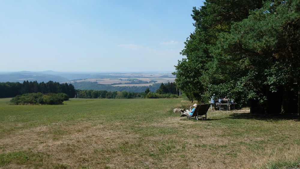
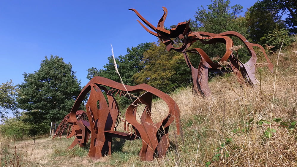
Tour gallery

Tour map and elevation profile
Minimum height 73 m
Maximum height 368 m
More about the tour author
|
|
schleidy |
Comments

GPS tracks
Trackpoints-
GPX / Garmin Map Source (gpx) download
-
TCX / Garmin Training Center® (tcx) download
-
CRS / Garmin Training Center® (crs) download
-
Google Earth (kml) download
-
G7ToWin (g7t) download
-
TTQV (trk) download
-
Overlay (ovl) download
-
Fugawi (txt) download
-
Kompass (DAV) Track (tk) download
-
Track data sheet (pdf) download
-
Original file of the author (gpx) download
More about the tour author
|
|
schleidy |
Add to my favorites
Remove from my favorites
Edit tags
Open track
My score
Rate