


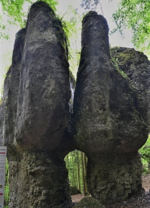
Vom Parkplatz auf dem Forstweg voran, nach ca. 1,6km an Wegweiser "Steinerne Stadt" links auf Waldpfad zu den imposanten Felsen aufwärts. Zurück nach links wendend auf Forstweg und auf diesem weiter. An großem Abzweig scharf rechts. Bei ca 4,2km rechts auf Forstweg bleiben, am nächsten Abzweig links, dann rechts. Nach ca.1km links und auf diesem Weg zurück.
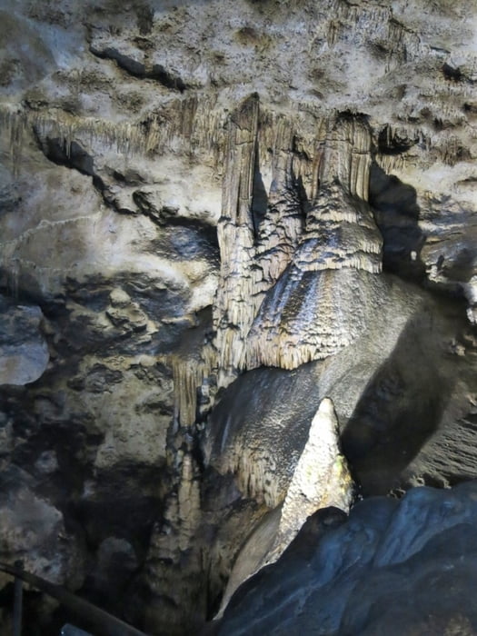
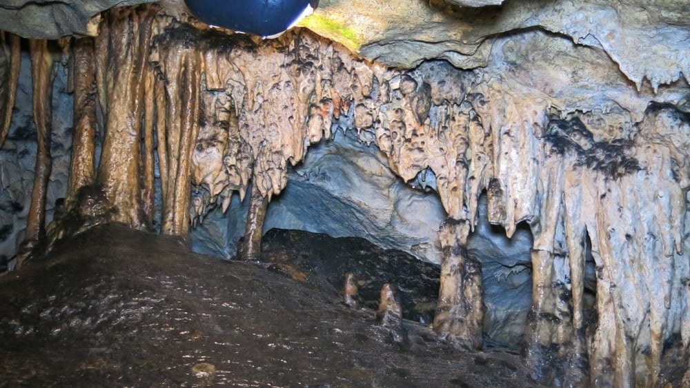
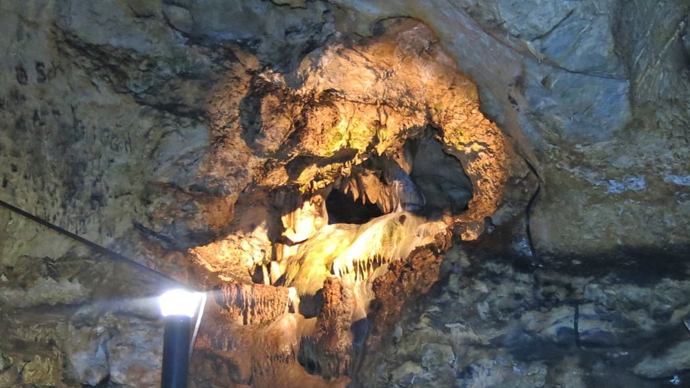
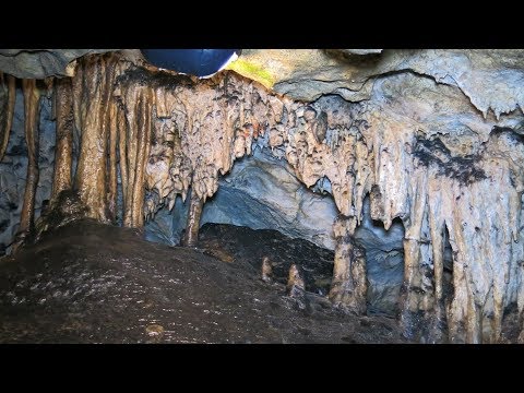
Eine anschließende Besichtigung der Maximiliansgrotte ist sehenswert! (ca. 9°C!.
Tour gallery
Tour map and elevation profile
Minimum height 463 m
Maximum height 544 m
More about the tour author
|
|
heinz-57 |
Comments

Von Neuhaus/ Pegnitz nach Krottensee.Am Ortsausgang Hinweisschild "Maximiliansgrotte"
GPS tracks
Trackpoints-
GPX / Garmin Map Source (gpx) download
-
TCX / Garmin Training Center® (tcx) download
-
CRS / Garmin Training Center® (crs) download
-
Google Earth (kml) download
-
G7ToWin (g7t) download
-
TTQV (trk) download
-
Overlay (ovl) download
-
Fugawi (txt) download
-
Kompass (DAV) Track (tk) download
-
Track data sheet (pdf) download
-
Original file of the author (gpx) download
More about the tour author
|
|
heinz-57 |
Add to my favorites
Remove from my favorites
Edit tags
Open track
My score
Rate