


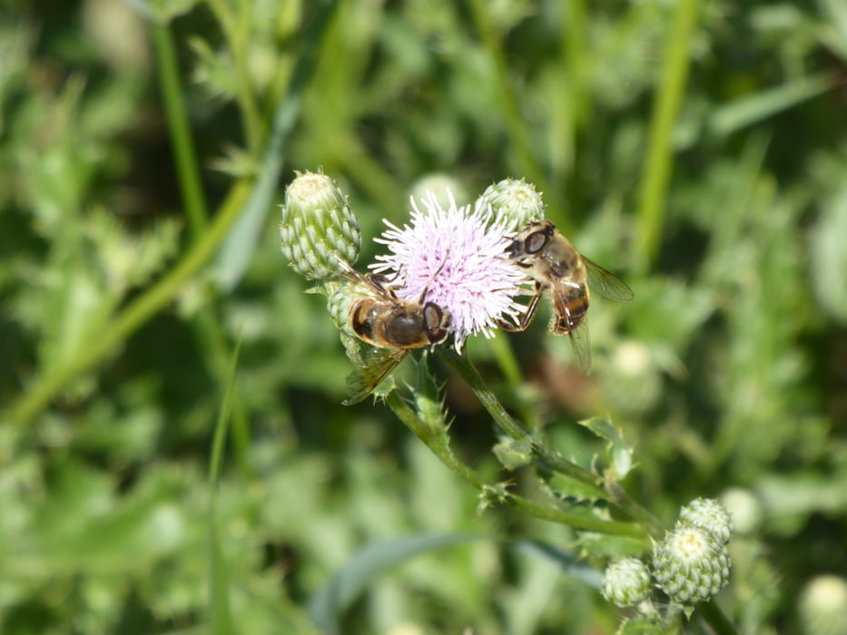
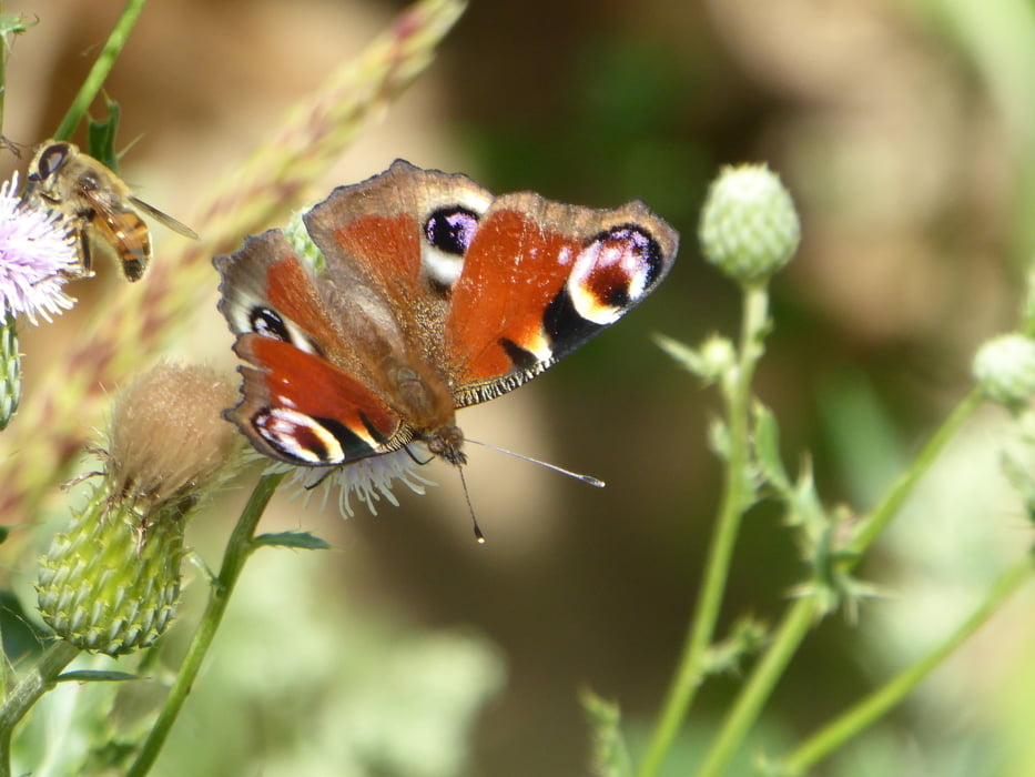
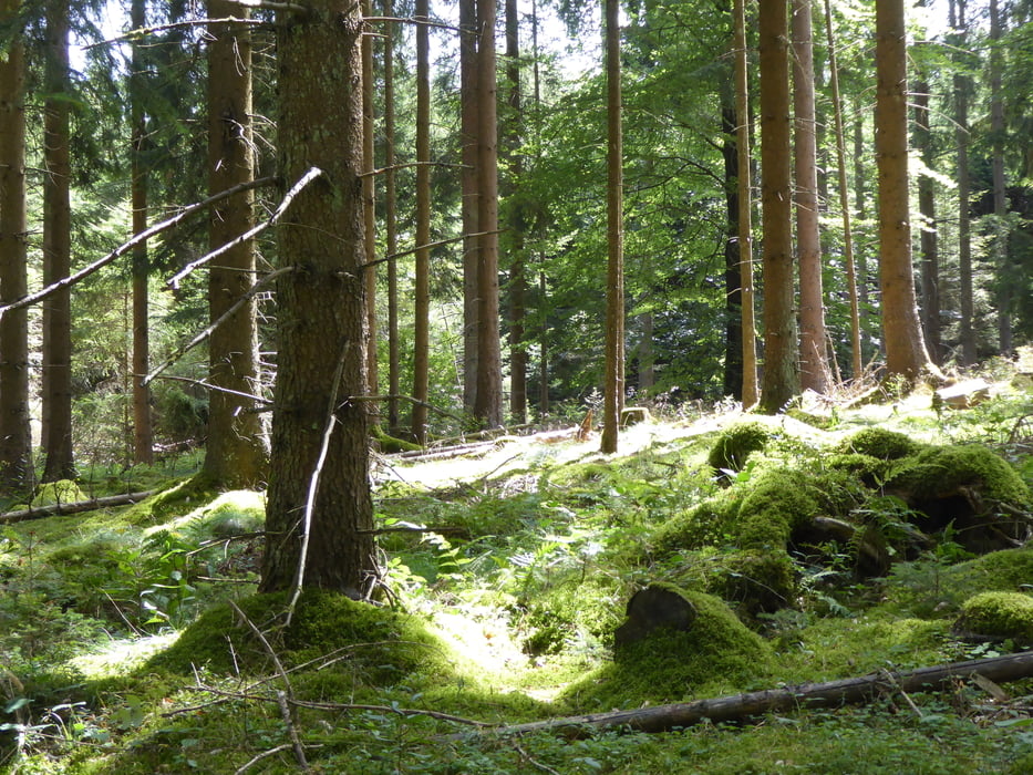
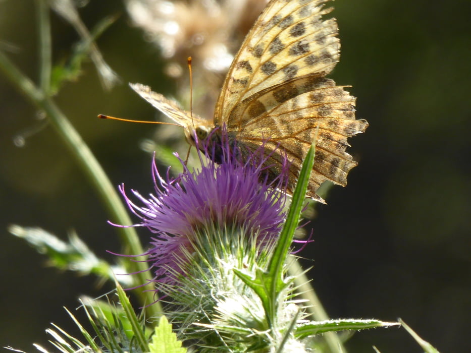
Vom Hotel aus geht es zunächst durch den Ort und dann zum Sportplatz hoch in den Wald. Wir gehen gegen den Uhrzeigersinn und überqueren schon bald die Autobahn und gelangen in den sog. Lehnwald, kommen am Lehnwaldhof vorbei und bewegen uns in der Nähe von Hermescheid. Bald schon wid wieder die Autobahn überquert und es ist nicht mehr weit, bis zum Ausgangspunkt. Fazit: 16 km mit viel Ruhe und tiefem Wald (bis auf die Autobahn, die man aber nur kurz hört. Und: Da sind doch noch mehr Insekten als Zuhause in der Stadt ..
Die reine Gehzeit betrug 3 Std. 45 Minuten, Gucken, Fotografieren, Pause machen, Beobachten und schnell waren über 5 Stunden vorbei ...
Tour gallery
Tour map and elevation profile
Minimum height 443 m
Maximum height 540 m
More about the tour author

|
Kaiserwil |
Comments

GPS tracks
Trackpoints-
GPX / Garmin Map Source (gpx) download
-
TCX / Garmin Training Center® (tcx) download
-
CRS / Garmin Training Center® (crs) download
-
Google Earth (kml) download
-
G7ToWin (g7t) download
-
TTQV (trk) download
-
Overlay (ovl) download
-
Fugawi (txt) download
-
Kompass (DAV) Track (tk) download
-
Track data sheet (pdf) download
-
Original file of the author (gpx) download
More about the tour author
|
|
Kaiserwil |
Add to my favorites
Remove from my favorites
Edit tags
Open track
My score
Rate