


Zunächst geht die Asphalt- und Schotterstrasse über Pergine, Sant Orsola auf den Redebuspass.
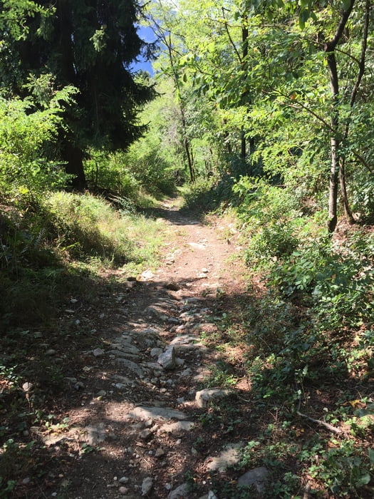
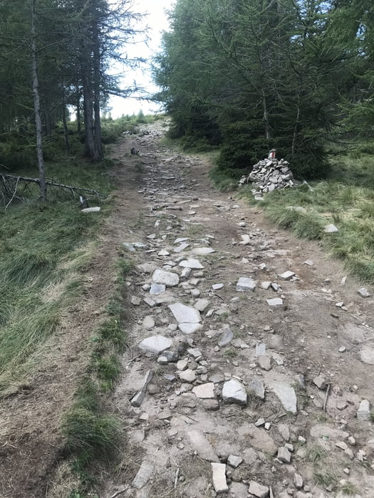
Eine kleine Strasse schlängelt sich bis zur Malga Combroncoi. Eine Einkehrmöglichkeit (ca. 1700 hm) besteht hier bevor ein kleiner Karrenweg zum Gipfel führt.
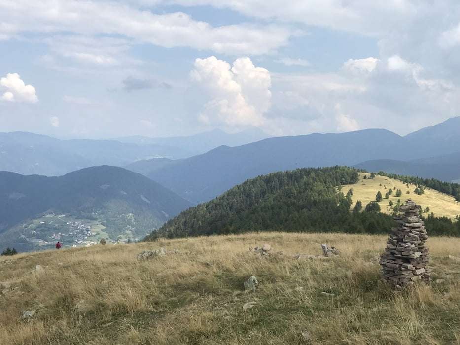
Genießen sie bei klarem Wetter die Sicht auf Brenta/Adamello, Etschtal mit Trento und den Lago di Caldonazzo
Vom Gipfel führt ein kleiner Pfad Richtung Nordwesten, der insbesondere bei der Baumgrenze sehr steil und nur schwer fahrbar ist. Auch im Wald gibt es schwierigere Abschnitte. Bald jedoch wird der Weg bis St. Orsola flowig und macht viel Freude.
Tour gallery
Tour map and elevation profile
Minimum height 450 m
Maximum height 1947 m
More about the tour author

|
dottore66 |
Comments

GPS tracks
Trackpoints-
GPX / Garmin Map Source (gpx) download
-
TCX / Garmin Training Center® (tcx) download
-
CRS / Garmin Training Center® (crs) download
-
Google Earth (kml) download
-
G7ToWin (g7t) download
-
TTQV (trk) download
-
Overlay (ovl) download
-
Fugawi (txt) download
-
Kompass (DAV) Track (tk) download
-
Track data sheet (pdf) download
-
Original file of the author (gpx) download
More about the tour author
|
|
dottore66 |
Add to my favorites
Remove from my favorites
Edit tags
Open track
My score
Rate