


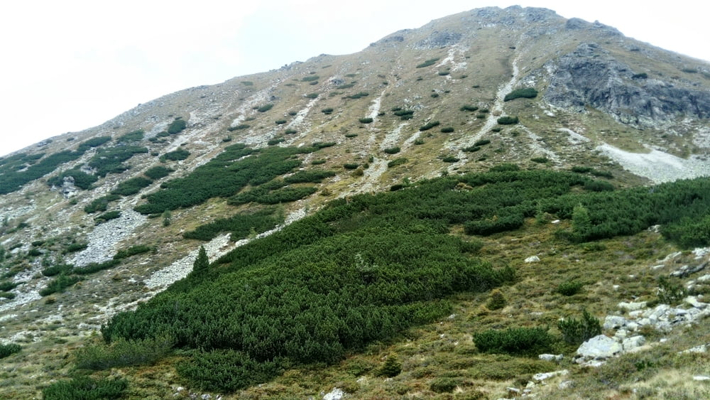
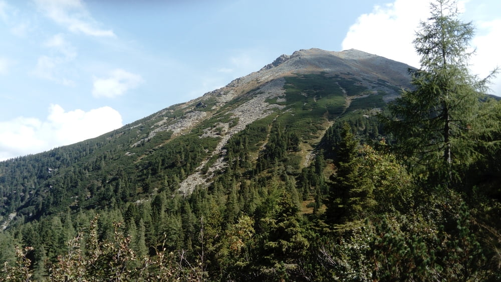
Vom Parkplatz über die Wiese zum Waldrand und zur Forststraße. Dieser aufwärts folgen bis zur Triebener Hütte. Kurz vorher links ab und hinauf zum Triebener Törl (1 Std.). Hier links entlang der Westflanke des Grießsteins zum Nordgrat. Über Blockwerk aufwärts zum Gipfel (1 1/4 Std.).
Hinunter auf Steigspuren zum Rauchauftörl und hinauf zum Kleinen Grießstein (1 1/4 Std.). Südwärts hinunter zum Knaudachtörl.
ACHTUNG: Der Steig hinüber zum Kleinen Grießstein und zum Knaudachtörl ist nicht markiert. Trittsicherheit und Orientierungsinn notwendig!!!
Vom Knaudachtörl in 1 Std. hinüber zum Triebener Törl und auf dem Anstiegsweg in 1 1/2 Std. zurück zum Parkplatz.
Tour gallery
Tour map and elevation profile
Minimum height 1114 m
Maximum height 2340 m
More about the tour author

|
JoHangler |
Comments

Auf der A9 zur Ausfahrt Trieben. Durch den Ort durch Richtung Hohentauern. Beim GH Brodjager links ins Triebental zum Parkplatz 3 (Seyfried).
GPS tracks
Trackpoints-
GPX / Garmin Map Source (gpx) download
-
TCX / Garmin Training Center® (tcx) download
-
CRS / Garmin Training Center® (crs) download
-
Google Earth (kml) download
-
G7ToWin (g7t) download
-
TTQV (trk) download
-
Overlay (ovl) download
-
Fugawi (txt) download
-
Kompass (DAV) Track (tk) download
-
Track data sheet (pdf) download
-
Original file of the author (gpx) download
More about the tour author
|
|
JoHangler |
Add to my favorites
Remove from my favorites
Edit tags
Open track
My score
Rate