Login

Forgot your login?

Cookies have to be accepted!
Your browser's cookie functionality is disabled. Please enable this functionality.

Not a member yet?

Register now
Login

Available for registred users only

Log in to use this feature.

Forgot your login?

Cookies have to be accepted!
Your browser's cookie functionality is disabled. Please enable this functionality.

Not a member yet?

Register now
Filter
Categories
Advanced filters
  • Distance (km)
  • Height
Save filters Reset filter

TrackRank

QRCode

Technical data

Distance13,2 km Height695 m Way down42 m Duration01:30 h:m Date16.09.2018
Scores Author Landscape Fun factor Fitness Technique

Statistics

511 Views Scores 65 Downloads Average
Rate
  • Track data sheet
  • Directions
  • Downloads


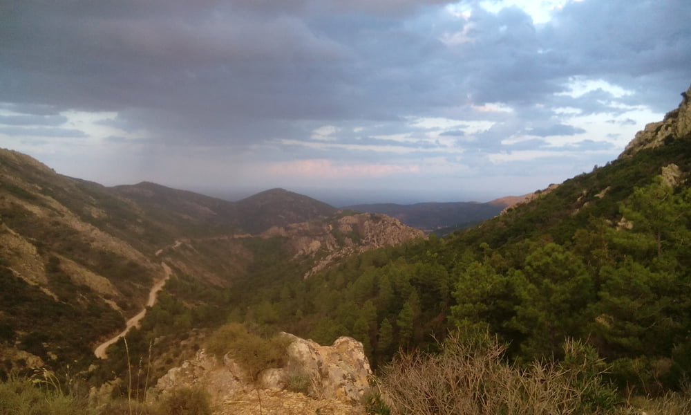
Startend vom Campingplatz San Teodoro la Cintia aus, geht es zunächst  wenige Kilometer über die Straße ins Naturschutzgebiet. Dieser Teil ist weniger schön.

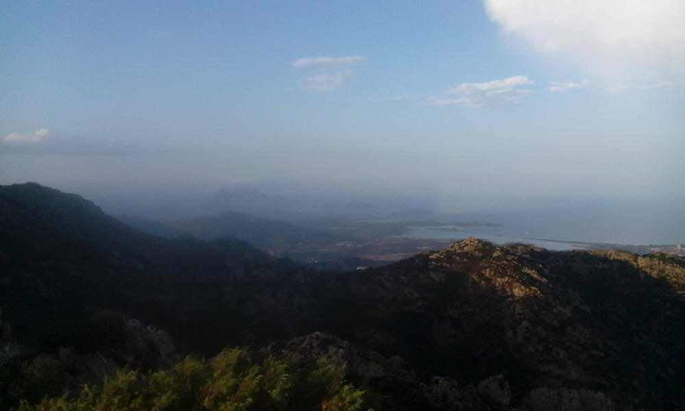
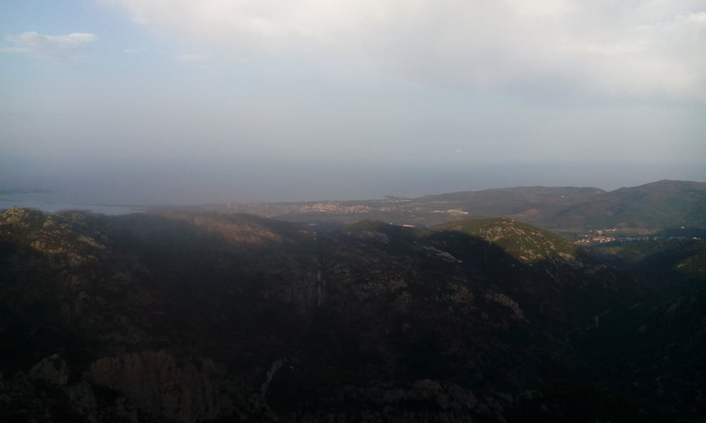
Im Naturschutzgebiet um den Monte Nieddu ist es aber dafür um so schöner. Es geht über ein paar fiese Betonrampen ordentlich nach oben. Der Ausblick am Aussichtspunkt ist aber phantastisch und die Abfahrt entschädigt für die Mühen beim Aufstieg.

Tour gallery

Tour map and elevation profile

  • Open Street Map
  • Google
Minimum height -12 m Maximum height 641 m Detailed view

More about the tour author

stoffer123
Member since 2011

Send private message

Comments

GPS tracks

Trackpoints
  • GPX / Garmin Map Source (gpx) download
  • TCX / Garmin Training Center® (tcx) download
  • CRS / Garmin Training Center® (crs) download
  • Google Earth (kml) download
  • G7ToWin (g7t) download
  • TTQV (trk) download
  • Overlay (ovl) download
  • Fugawi (txt) download
  • Kompass (DAV) Track (tk) download
  • Track data sheet (pdf) download
  • Original file of the author (gpx) download

More about the tour author

stoffer123
Member since 2011

Send private message
Share track
Add to my favorites
Remove from my favorites
Edit tags
My score
Rate
Track: Sardinien Monte Nieddu - Aussichtspunkt
Type: Mountain bike
Distance: 13,2 km
Evaluated on:
Duration:
Day(s)
Hour(s)
Minute(s)
Score: Landscape Fun factor Fitness Technique