
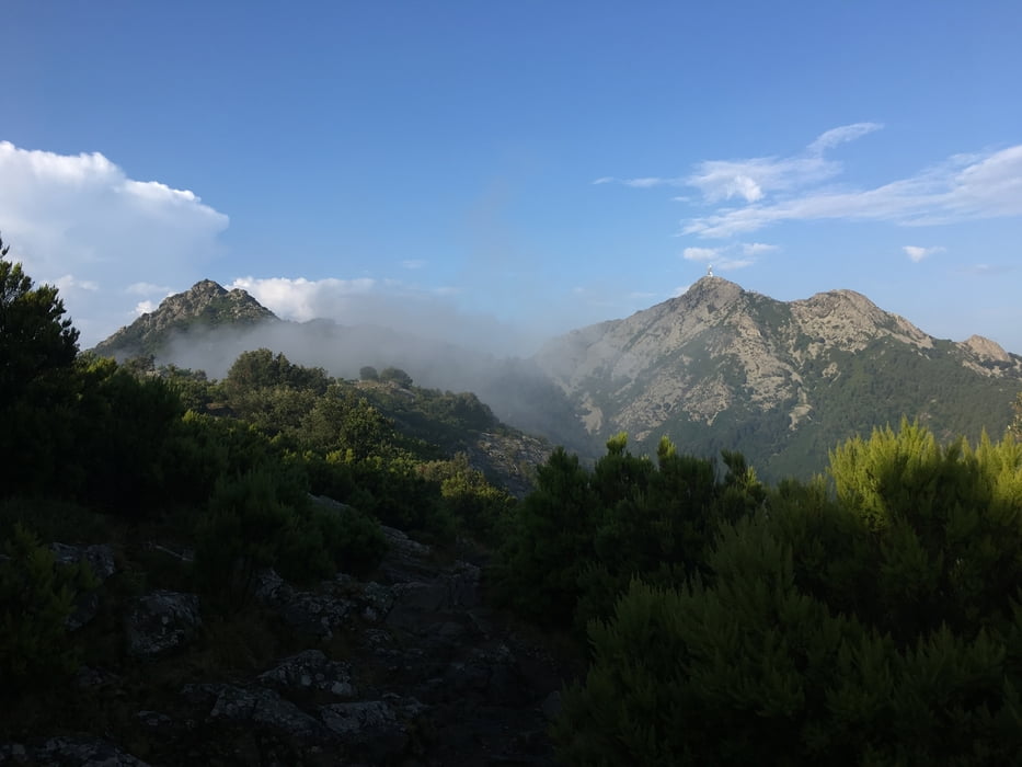

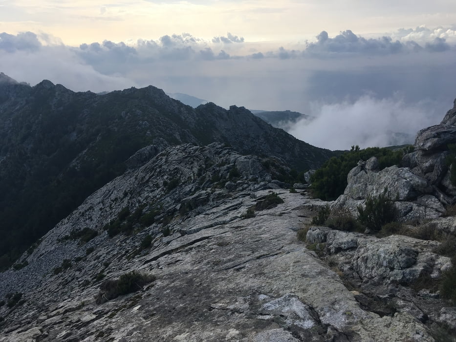
Lasciata l'auto presso l'area di sosta del monte perone, si risale per il sentiero numero 105 (Santuario delle farfalle). Al bivio si tiene la sinistra e dopo breve ma ripida salita iniia il tratto atrezzato: casco e imbragatura consigliata. Si percorrono le favolose creste arrampicando fino a giungere a malpasso e poi in cima al monte capanne. Dopo la pausa al rifugio si scende per ripido sentiero oltrepassando un caprile fino a giungere al seniero 106. Si svolta a destra e si percorre in quota tutto il sentiero fino a raggiungere la strada asfaltata per il monte perone. La si percorre per due chilometri in salita e si rientra al punto di partenza.
Tour gallery


Tour map and elevation profile
Minimum height 464 m
Maximum height 1017 m
More about the tour author

|
mikyross |
Comments

italia toscana livorno isola d'elba marciana monte perone
GPS tracks
Trackpoints-
GPX / Garmin Map Source (gpx) download
-
TCX / Garmin Training Center® (tcx) download
-
CRS / Garmin Training Center® (crs) download
-
Google Earth (kml) download
-
G7ToWin (g7t) download
-
TTQV (trk) download
-
Overlay (ovl) download
-
Fugawi (txt) download
-
Kompass (DAV) Track (tk) download
-
Track data sheet (pdf) download
-
Original file of the author (gpx) download
More about the tour author
|
|
mikyross |
Add to my favorites
Remove from my favorites
Edit tags
Open track
My score
Rate