Login

Forgot your login?

Cookies have to be accepted!
Your browser's cookie functionality is disabled. Please enable this functionality.

Not a member yet?

Register now
Login

Available for registred users only

Log in to use this feature.

Forgot your login?

Cookies have to be accepted!
Your browser's cookie functionality is disabled. Please enable this functionality.

Not a member yet?

Register now
Filter
Categories
Advanced filters
  • Distance (km)
  • Height
Save filters Reset filter

TrackRank

QRCode

Technical data

Distance1,7 km Height83 m Way down80 m Duration01:05 h:m Date22.09.2018
Scores Author Landscape Fun factor Fitness Technique

Statistics

263 Views Scores 3 Downloads Average
Rate
  • Track data sheet
  • Directions
  • Downloads
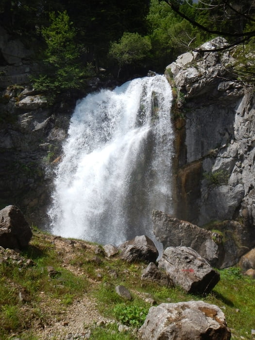
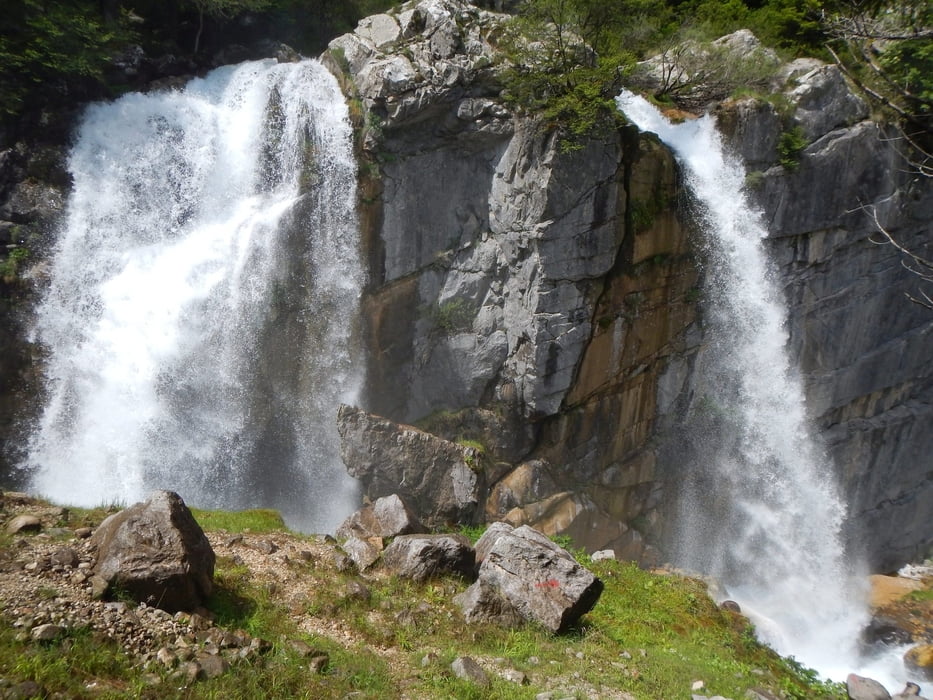
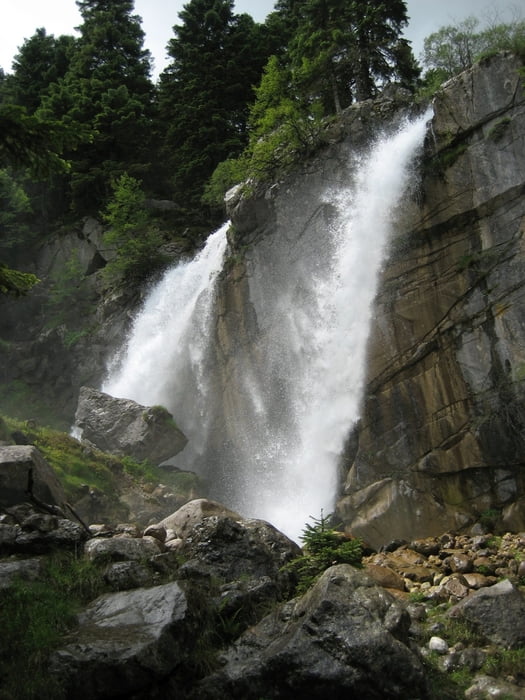
From the parking place on the dirt road, the trail goes sometimes steep uphill.
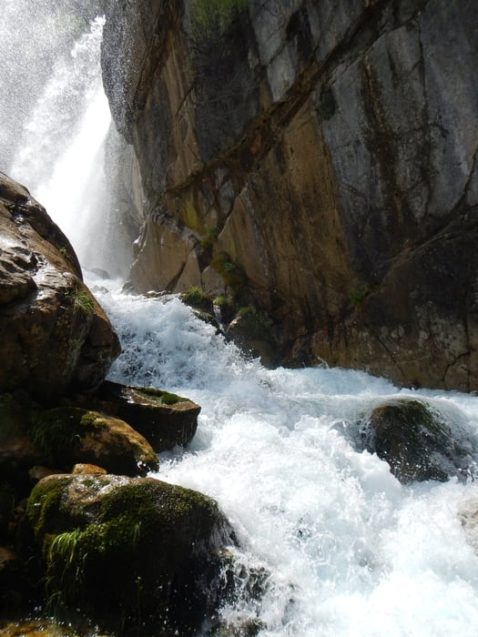
Use good shoes, because of wet rocks.

Tour gallery

Tour map and elevation profile

  • Open Street Map
  • Google
Minimum height 1043 m Maximum height 1148 m Detailed view

More about the tour author

Mapdekode
Member since 2008

Send private message

Comments

If you don't like to drive on the dirt road, stop in Theodoriana and walk to the begin of the trail (1.5km more in one direction).

GPS tracks

Trackpoints
  • GPX / Garmin Map Source (gpx) download
  • TCX / Garmin Training Center® (tcx) download
  • CRS / Garmin Training Center® (crs) download
  • Google Earth (kml) download
  • G7ToWin (g7t) download
  • TTQV (trk) download
  • Overlay (ovl) download
  • Fugawi (txt) download
  • Kompass (DAV) Track (tk) download
  • Track data sheet (pdf) download
  • Original file of the author (gpx) download

More about the tour author

Mapdekode
Member since 2008

Send private message
Share track
Add to my favorites
Remove from my favorites
Edit tags
My score
Rate
Track: Greece, Arta, Tzoumerka, Theodoriana: Souda falls
Type: Hiking
Distance: 1,7 km
Evaluated on:
Duration:
Day(s)
Hour(s)
Minute(s)
Score: Landscape Fun factor Fitness Technique