


Vorab, der gesamte Weg geht außschließlich auf kleinen Straßen und Feldwegen. Diese Tour ist auch mit einem Tourenrad gut zu fahren.
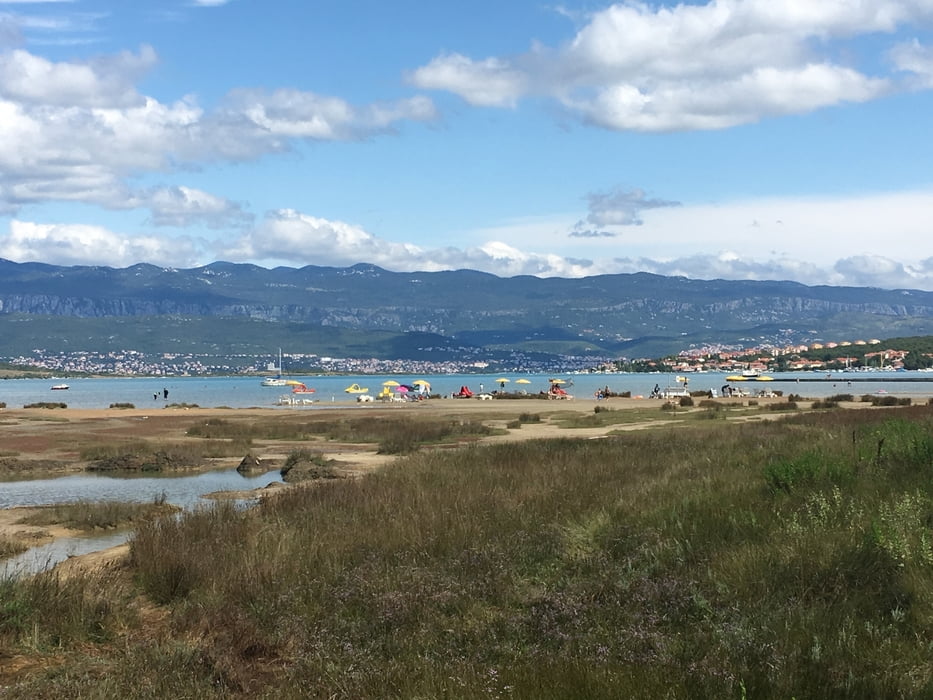
Wir starten in Njivice und fahren entlang der Küste nach Malinska an einer verfallenden Hotellanlage entlang. Im Hafen von Malinska lohnt eine kleine Pause mit Eis.
Weiter durch den Hafen von Malinska und dann bergauf nach Rasopasno. Jetzt auf die andere Seite der Insel zur Zaljev Soline und am Ort Cizici vorbei.
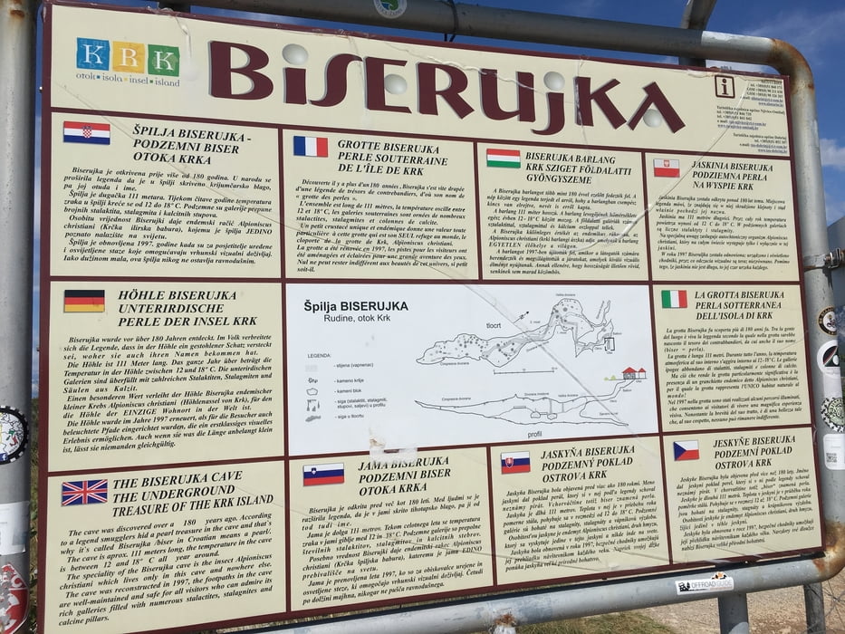
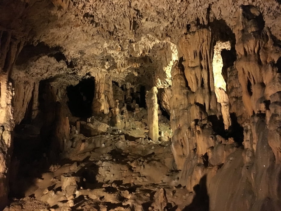
Von hier weiter nach Rudine und zur dortigen kleinen aber schönen Tropfsteinhöle Biserujka. Hier lohnt es sich Rast zu machen und die Höle, eine der Touristischen Highlights der Insel, zu besuchen.
Von hier geht es auf direktem Weg wieder zurück nach Njivice.
Tour gallery
Tour map and elevation profile
Minimum height -6 m
Maximum height 188 m
More about the tour author
|
|
Cycling666 |
Comments

GPS tracks
Trackpoints-
GPX / Garmin Map Source (gpx) download
-
TCX / Garmin Training Center® (tcx) download
-
CRS / Garmin Training Center® (crs) download
-
Google Earth (kml) download
-
G7ToWin (g7t) download
-
TTQV (trk) download
-
Overlay (ovl) download
-
Fugawi (txt) download
-
Kompass (DAV) Track (tk) download
-
Track data sheet (pdf) download
-
Original file of the author (gpx) download
More about the tour author
|
|
Cycling666 |
Add to my favorites
Remove from my favorites
Edit tags
Open track
My score
Rate