
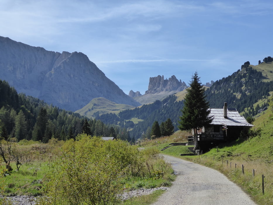

Vom Campingplatz Marmolada in Canazei geht es ins wunderschöne Vale Duron.
Anfangs sehr steiler kurzer Anstieg auf einer Betonrampe. Kurz später fahren wir stetig auf Schotterforststraße bergan bis wir beim Rifugio Micheluzzi ein Hochtal erreichen.
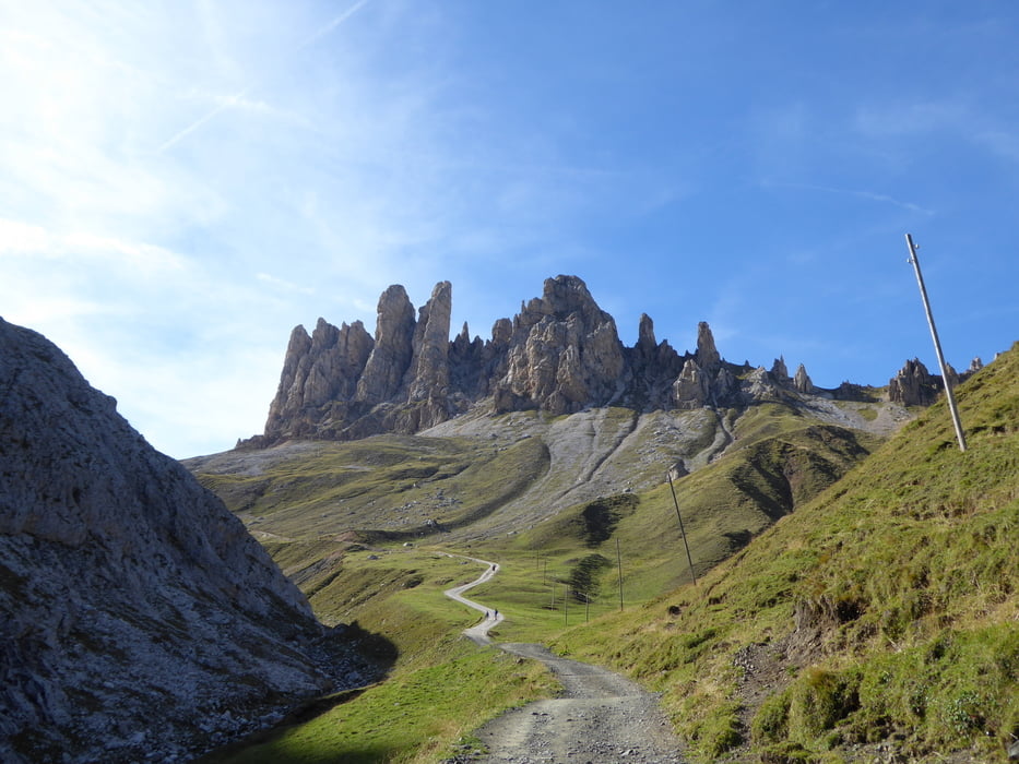
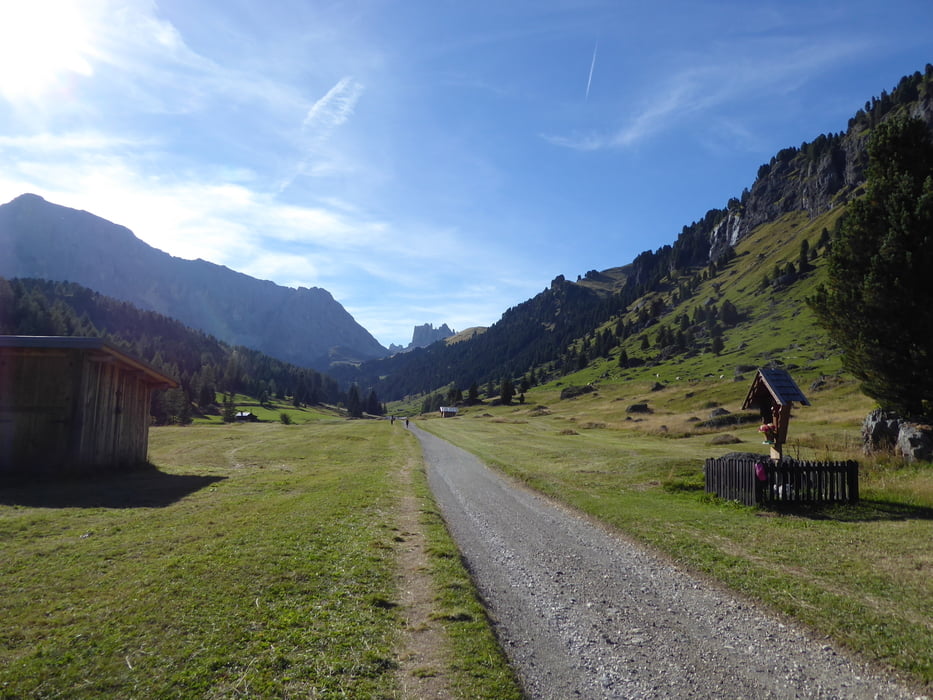
Am Fluß Duron entlang fahren wir fast eben in das Hochtal hinein. Bald wird es wieder steiler und auf teils grobem Schotter und Betonteilstücken geht es hinauf zum Passo Duron auf 2204 Meter.
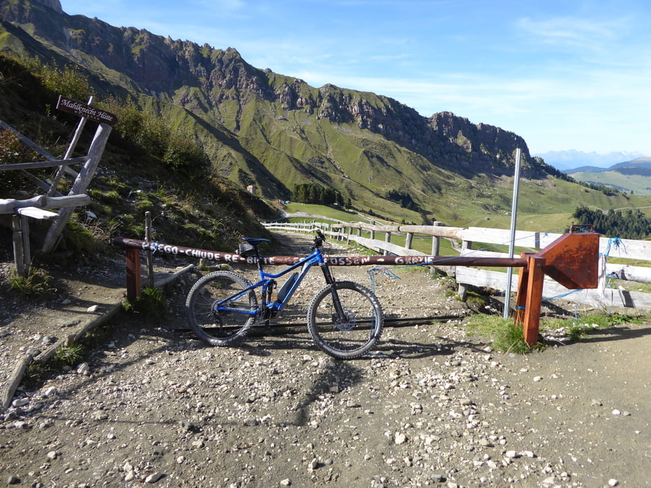
Von hier aus nochmals eine steile Auffahrt auf 2440 Meter zur Tierser Hütte unterhalb der Rosszähne.
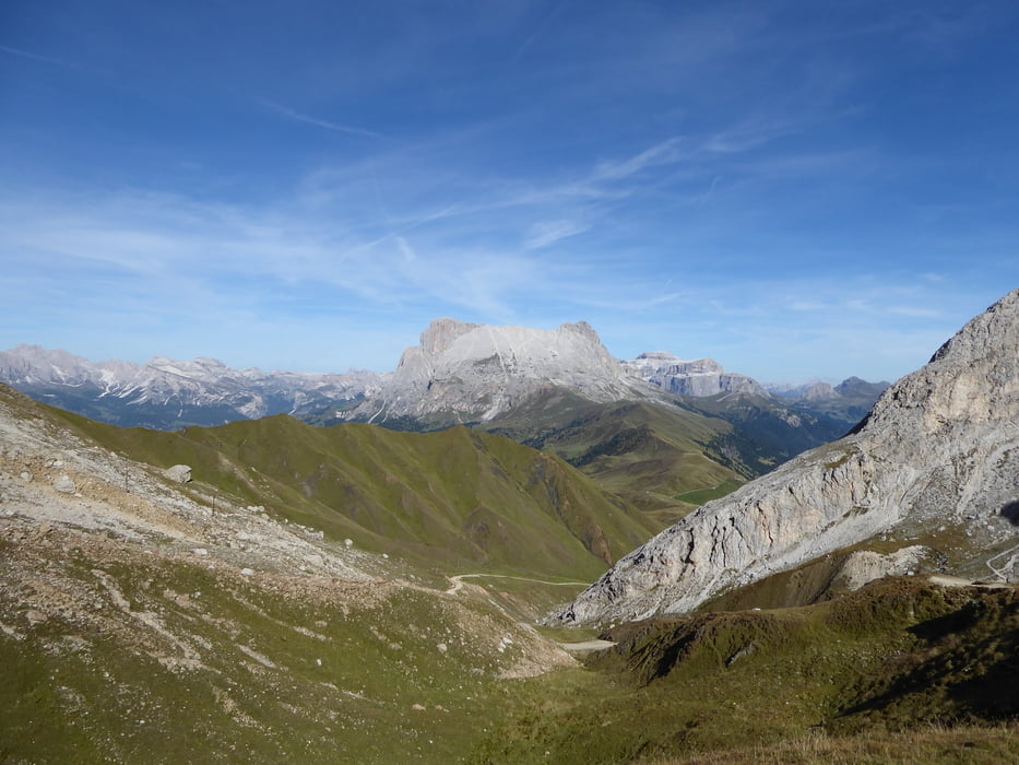
Ein einmaliges Bergpanorama erwartet einen hier oben. Streckenbeschaffenheit: immer zweispurig teilweise jedoch sehr steil aber nie ausgesetzt.
Auf selben Wege retour nach Canazei.
Tour gallery
Tour map and elevation profile
Minimum height 1423 m
Maximum height 2406 m
More about the tour author
|
|
Hoar |
Comments

Start und Ziel der Tour ist der Campingplatz Marmolada in Canazei
GPS tracks
Trackpoints-
GPX / Garmin Map Source (gpx) download
-
TCX / Garmin Training Center® (tcx) download
-
CRS / Garmin Training Center® (crs) download
-
Google Earth (kml) download
-
G7ToWin (g7t) download
-
TTQV (trk) download
-
Overlay (ovl) download
-
Fugawi (txt) download
-
Kompass (DAV) Track (tk) download
-
Track data sheet (pdf) download
-
Original file of the author (gpx) download
More about the tour author
|
|
Hoar |
Add to my favorites
Remove from my favorites
Edit tags
Open track
My score
Rate