


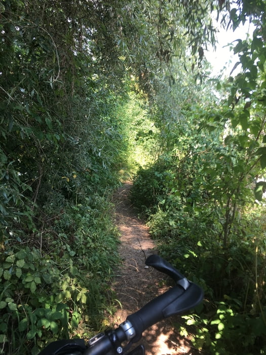
Vom Bahnhof Olching geht es gleich an die Amper und entlang der Trails Richtung Dachau.
Ich bin hier ein paarTrails gefahren die sehr eng sind und teilweise bereits ziemlich zugewuchert. Ich bin die Strecke im August gefahren, kann sein dass es früher im Jahr noch besser zu fahren ist.
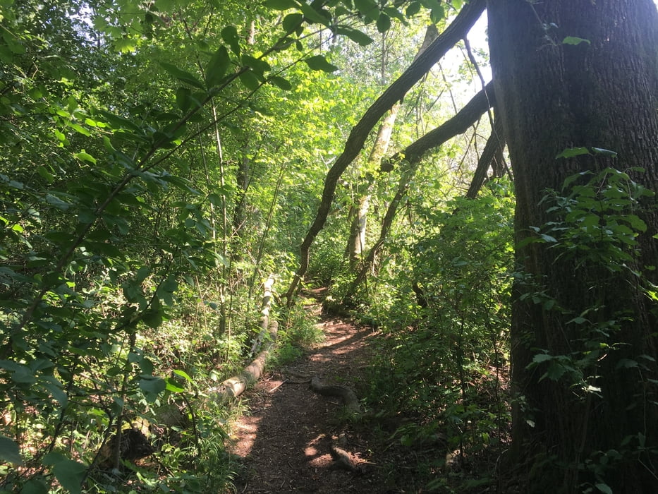
Hinter Dachau ab dem Kiescenter Ampermoching hab ich mich auf den Rückweg nach Gröbenzell gemacht.
Tour gallery
Tour map and elevation profile
Minimum height 465 m
Maximum height 511 m
More about the tour author
|
|
Cycling666 |
Comments

Mit der S-Bahn oder dem Auto noch Olching.
Zurück kommen wir zur S-Bahn Station Gröbenzell. Wer mit dem Auto gekommen ist fährt entweder eine Station mit der S-Bahn nach Olching oder Radelt die ca. 8km wieder zurück nach Olching.
GPS tracks
Trackpoints-
GPX / Garmin Map Source (gpx) download
-
TCX / Garmin Training Center® (tcx) download
-
CRS / Garmin Training Center® (crs) download
-
Google Earth (kml) download
-
G7ToWin (g7t) download
-
TTQV (trk) download
-
Overlay (ovl) download
-
Fugawi (txt) download
-
Kompass (DAV) Track (tk) download
-
Track data sheet (pdf) download
-
Original file of the author (gpx) download
More about the tour author
|
|
Cycling666 |
Add to my favorites
Remove from my favorites
Edit tags
Open track
My score
Rate