


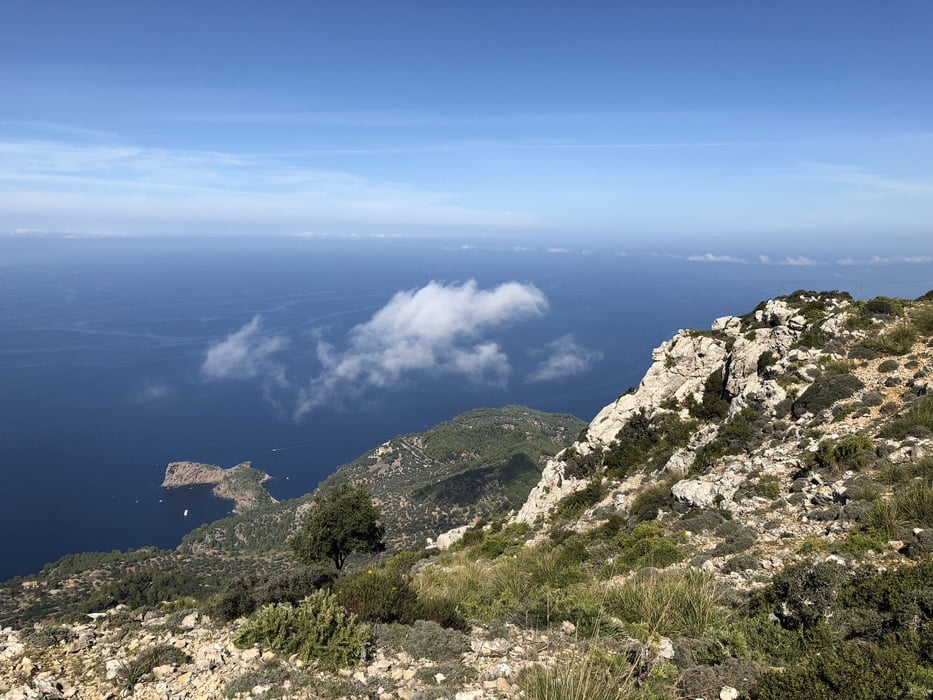
in Valdemossa fahren wir mit dem Auto bis an das nödliche Ende. Dort beginnt neben einem Zaun der kurze Zuweg von ein paar hundert Meter. Dort findet sich eine Tafel mit Karte und Beschreibung der Gegend. Dann geht es steil hinauf bis an den Grat wo man wunderschöne Ausblicke nach Norden hat. Diesen Weg kenne ich auch als Reitweg von Erzherzog Johann. Dann folgt der Abstieg. Insgesamt ein Wunderschöner Wanderweg. Für die Mountainbiker die dies lesen: der Trail ist nicht fahrbar.
Tour gallery


Tour map and elevation profile
Minimum height 430 m
Maximum height 908 m
More about the tour author

|
ghostrider36 |
Comments

Am besten mit dem Auto ans nördliche Ende von Valdemossa
GPS tracks
Trackpoints-
GPX / Garmin Map Source (gpx) download
-
TCX / Garmin Training Center® (tcx) download
-
CRS / Garmin Training Center® (crs) download
-
Google Earth (kml) download
-
G7ToWin (g7t) download
-
TTQV (trk) download
-
Overlay (ovl) download
-
Fugawi (txt) download
-
Kompass (DAV) Track (tk) download
-
Track data sheet (pdf) download
-
Original file of the author (gpx) download
More about the tour author
|
|
ghostrider36 |
Add to my favorites
Remove from my favorites
Edit tags
Open track
My score
Rate