
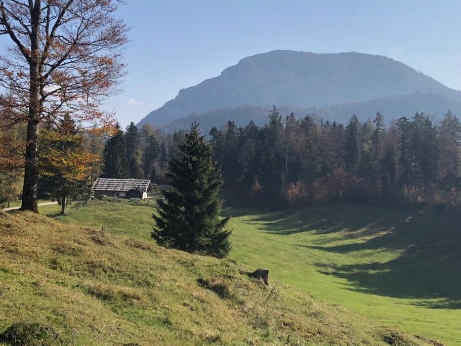

Vom Wanderparkplatz in Weißbach Richtung Mauthäusl und weiter zur Abzweigung Höllenbachalm (links). Auf Forststraße hoch zur Höllenbachalm und weiter zur Jochberghöhe. Ein kurzer flowiger Waldtrail führt dann zum PP Jochberghöhe. Forststraßenabfahrt zur Jochbergstraße und das letzte Stück auf dem Salinenweg wieder zurück nach Weißbach. Weiter geht's dann entlang der Schwarzachklamm, vorbei an der Harbachalm, Bichlalm zur Kaitlalm. Nun beginnt eine längere Abfahrt (Querfahrt) zur sehr schön gelegenen Reiteralm. Zum Abschluss nach eine längere Forststraßenabfahrt zurück zum Ausgangspunkt.
Tour map and elevation profile
Minimum height 598 m
Maximum height 972 m
More about the tour author
|
|
MTBiker55 |
Comments

GPS tracks
Trackpoints-
GPX / Garmin Map Source (gpx) download
-
TCX / Garmin Training Center® (tcx) download
-
CRS / Garmin Training Center® (crs) download
-
Google Earth (kml) download
-
G7ToWin (g7t) download
-
TTQV (trk) download
-
Overlay (ovl) download
-
Fugawi (txt) download
-
Kompass (DAV) Track (tk) download
-
Track data sheet (pdf) download
-
Original file of the author (gpx) download
More about the tour author
|
|
MTBiker55 |
Add to my favorites
Remove from my favorites
Edit tags
Open track
My score
Rate