Login

Forgotten password?

Cookies have to be accepted!
Your browser's cookie functionality is disabled. Please enable this functionality.

Not a member yet?

Register now
Login

Available for registred users only

Log in to use this feature.

Forgotten password?

Cookies have to be accepted!
Your browser's cookie functionality is disabled. Please enable this functionality.

Not a member yet?

Register now
Filter
Categories
Advanced filters
  • Distance (km)
  • Height
Save filters Reset filter

TrackRank

QRCode

Technical data

Distance12,9 km Height303 m Way down311 m Duration00:00 h:m Date20.01.2019
Scores Author Landscape Fun factor Fitness Technique

Statistics

216 Views Scores 18 Downloads Average
Rate
  • Track data sheet
  • Directions
  • Downloads

Eine schöne Wanderung aus dem Rother Wanderbuch: Weinwandern "Fränkisches Weinland mit Taubertal"_ Nr. 10.


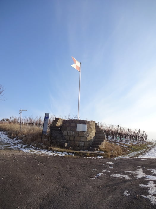
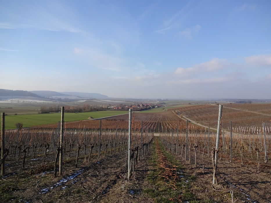
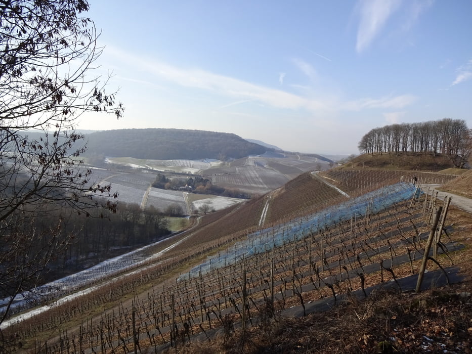
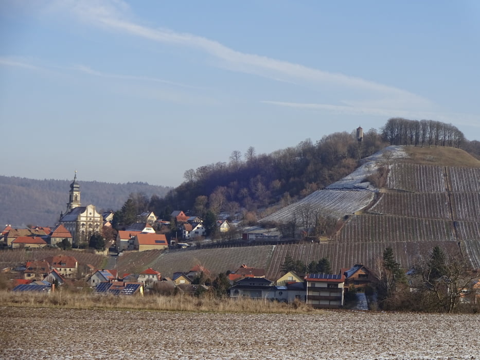
Schöne Wanderung für Sommer und Winter mit tollen Ausblicken!


Viel Spaß!

Tour gallery

Tour map and elevation profile

  • Open Street Map
  • Google
Minimum height 274 m Maximum height 466 m Detailed view

More about the tour author

FLU
Member since 2009

Send private message

Comments

GPS tracks

Trackpoints
  • GPX / Garmin Map Source (gpx) download
  • TCX / Garmin Training Center® (tcx) download
  • CRS / Garmin Training Center® (crs) download
  • Google Earth (kml) download
  • G7ToWin (g7t) download
  • TTQV (trk) download
  • Overlay (ovl) download
  • Fugawi (txt) download
  • Kompass (DAV) Track (tk) download
  • Track data sheet (pdf) download
  • Original file of the author (gpx) download

More about the tour author

FLU
Member since 2009

Send private message
Share track
Add to my favorites
Remove from my favorites
Edit tags
My score
Rate
Track: Rund um Castell
Type: Hiking
Distance: 12,9 km
Evaluated on:
Duration:
Day(s)
Hour(s)
Minute(s)
Score: Landscape Fun factor Fitness Technique