Login

Forgot your login?

Cookies have to be accepted!
Your browser's cookie functionality is disabled. Please enable this functionality.

Not a member yet?

Register now
Login

Available for registred users only

Log in to use this feature.

Forgot your login?

Cookies have to be accepted!
Your browser's cookie functionality is disabled. Please enable this functionality.

Not a member yet?

Register now
Filter
Categories
Advanced filters
  • Distance (km)
  • Height
Save filters Reset filter

TrackRank

QRCode

Technical data

Distance9,1 km Height186 m Way down173 m Duration04:00 h:m Date16.02.2019
Scores Author Landscape Fun factor Fitness Technique

Statistics

411 Views Scores 19 Downloads Average
Rate
  • Track data sheet
  • Directions
  • Downloads
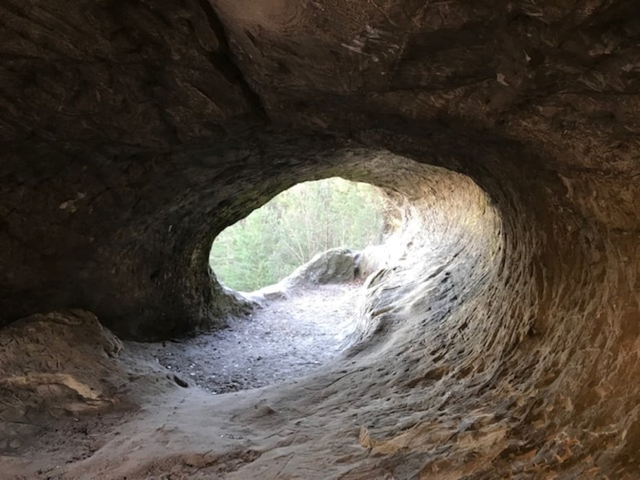
Ausgangspunkt ist der Parkplatz in Timmenrode am Sportplatz, es ist eine interesante Tour, bei der wir eine längere Pause in Blankenburg eingelegt haben. Wir sind gegen 12 Uhr gestartet und waren gegen 16.15 zurück.

Tour gallery

Tour map and elevation profile

  • Open Street Map
  • Google
Minimum height 207 m Maximum height 320 m Detailed view

More about the tour author

bounty1964
Member since 2018

Send private message

Comments

Wie oben beschrieben - Parkplatz wurde in Timmenrode am Sportplatz gewählt. 

GPS tracks

Trackpoints
  • GPX / Garmin Map Source (gpx) download
  • TCX / Garmin Training Center® (tcx) download
  • CRS / Garmin Training Center® (crs) download
  • Google Earth (kml) download
  • G7ToWin (g7t) download
  • TTQV (trk) download
  • Overlay (ovl) download
  • Fugawi (txt) download
  • Kompass (DAV) Track (tk) download
  • Track data sheet (pdf) download
  • Original file of the author (gpx) download

More about the tour author

bounty1964
Member since 2018

Send private message
Share track
Add to my favorites
Remove from my favorites
Edit tags
My score
Rate
Track: Teufelsmauer Harz
Type: Hiking
Distance: 9,1 km
Evaluated on:
Duration:
Day(s)
Hour(s)
Minute(s)
Score: Landscape Fun factor Fitness Technique